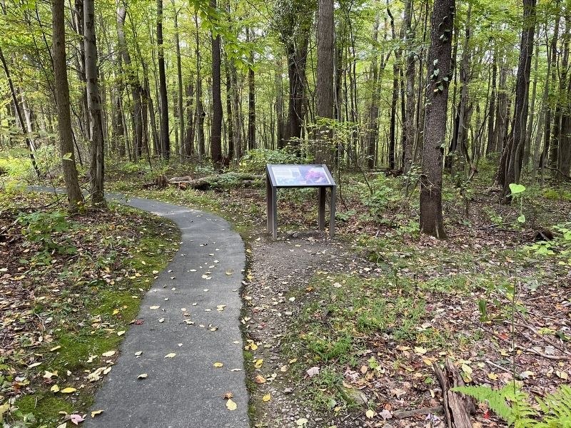
Hopwood in Fayette County, Pennsylvania — The American Northeast (Mid-Atlantic)
From Jumonville to a World War
Fort Necessity National Battlefield
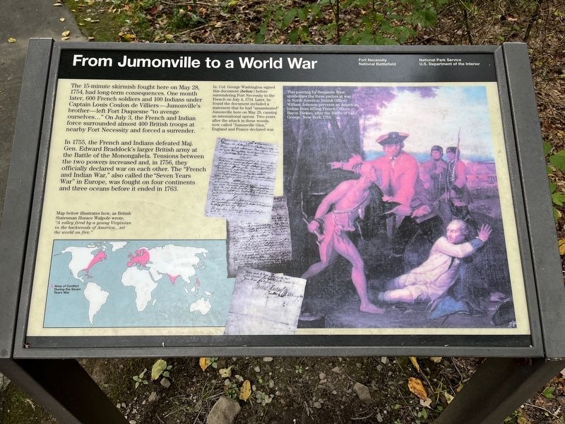
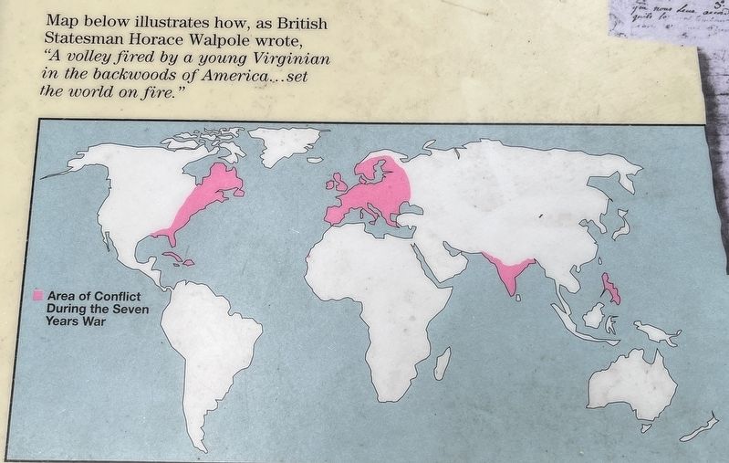
In 1755, the French and Indians defeated Maj. Gen. Edward Braddock's larger British army at the Battle of Monongahela. Tensions between the two powers increased and, in 1756, they officially declared war on each other. The "French and Indian War," also called the "Seven Years War" in Europe, was fought on four continents and three oceans before it ended in 1763.
Captions of Illustrations
Lower left: Map below illustrates how, as British Statemen Horace Walpole wrote, "A volley by a young Virginian in the backwoods of America... set the world on fire.
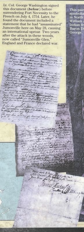
Center: Lt. Col. George Washington signed this document (below) before surrendering Fort Necessity to the French on July 4, 1754. Later he found the document included a statement that he had "assassinated" Jumonville here on May 28, causing an international uproar. Two years after the attack in these woods, now called "Jumonville Glen," England and France declared war.
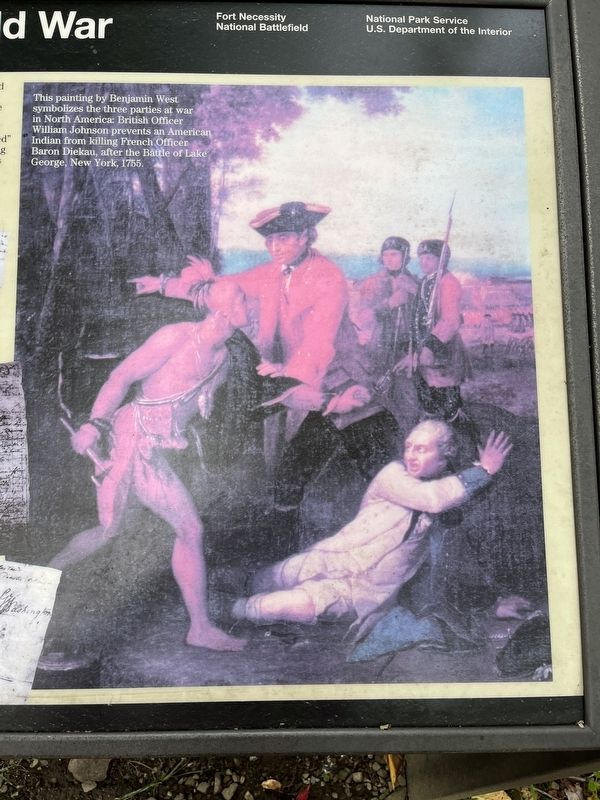
Right: This painting by Benjamin West symbolizes the three parties at war in North America. British Officer William Johnson prevents an American Indian from killing French Officer Baron Diekau, after the Battle of Lake George, New York, 1755.
Erected by National Park Service, U.S. Department of the Interior.
Topics. This historical marker is listed in this topic list: War, French and Indian. A significant historical date for this entry is May 28, 1754.
Location. 39° 52.788′ N, 79° 38.53′ W. Marker is in Hopwood, Pennsylvania, in Fayette County. Marker can be reached from Jumonville Road (County Road 2021), on the right when traveling north. Located on the loop trail in the Jumonville Glen unit of the Fort Necessity National Battlefield. Touch for map. Marker is in this post office area: Hopwood PA 15445, United States of America. Touch for directions.
Other nearby markers. At least 8 other markers are within walking distance of this marker. Jumonville Glen (a few steps from this marker); Washington's First Battlefield (about 500 feet away, measured in a direct line); Diplomats or Spies? (about 600 feet away); Surprise Attack (about 700 feet away); Braddock Road (approx. 0.3 miles away); Jumonville (approx. 0.3 miles away); Dunbar's Camp (approx. 0.3 miles away); Uniontown Soldiers' Orphan School (approx. half a mile away). Touch for a list and map of all markers in Hopwood.
Also see . . . Fort Necessity Battlefield Park. The park has three primary units - the Fort Necessity and Washington Tavern's unit, Braddock's Grave unit, and Joumonville Glen. The last, and where this marker is located, is the most remote of the three. The other two are astride the National Road (US Highway 40). (Submitted on October 8, 2022, by Craig Swain of Leesburg, Virginia.)
Credits. This page was last revised on October 8, 2022. It was originally submitted on October 8, 2022, by Craig Swain of Leesburg, Virginia. This page has been viewed 134 times since then and 13 times this year. Photos: 1, 2, 3, 4, 5. submitted on October 8, 2022, by Craig Swain of Leesburg, Virginia.
