Rumford in Providence County, Rhode Island — The American Northeast (New England)
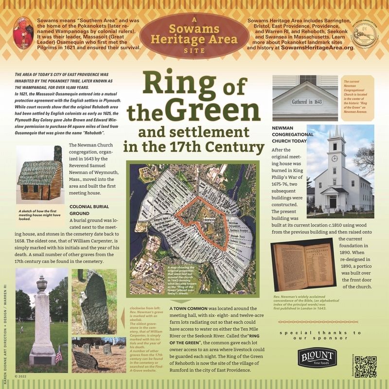
Ring of the Green and settlement in the 17th Century
Inscription.
The area of today’s City of East Providence was inhabited by the Pokanoket Tribe, later known as the Wampanoag, for over 10,000 years. In 1621, the Massasoit Ousamequin entered into a mutual protection agreement with the English settlers in Plymouth. While court records show that the original Rehoboth area had been settled by English colonists as early as 1625, the Plymouth Bay Colony gave John Brown and Edward Winslow permission to purchase 64 square miles of land from Ousamequin that was given the name “Rehoboth”.
The Newman Church congregation, organized in 1643 by the Reverend Samuel Newman of Weymouth, Mass., moved into the area and built the first meeting house.
A burial ground was located next to the meeting house, and stones in the cemetery date back to 1658. The oldest one, that of William Carpenter, is simply marked with his initials and the year of his death. A small number of other graves from the 17th century can be found in the cemetery.
A town common was located around the meeting hall, with six- eight- and twelve-acre farm lots radiating out so that each could have access to water on either the Ten Mile River or the Seekonk River. Called the “Ring of the Green”, the common gave each lot owner access to an area where livestock could be guarded each night. The Ring of the Green of Rehoboth is now the site of the village of Rumford in the city of East Providence. After the original meeting house was burned in King Philip’s War of1675-76, two subsequent buildings were constructed.
The present building was built at its current location c.1810 using wood from the previous building and then raised onto the current foundation in 1890. When re-designed in 1890, a portico was built over the front door of the church.
Erected 2022 by Sowams Heritage Area Project, Inc.
Topics. This historical marker is listed in these topic lists: Colonial Era • Native Americans • Settlements & Settlers. A significant historical year for this entry is 1643.
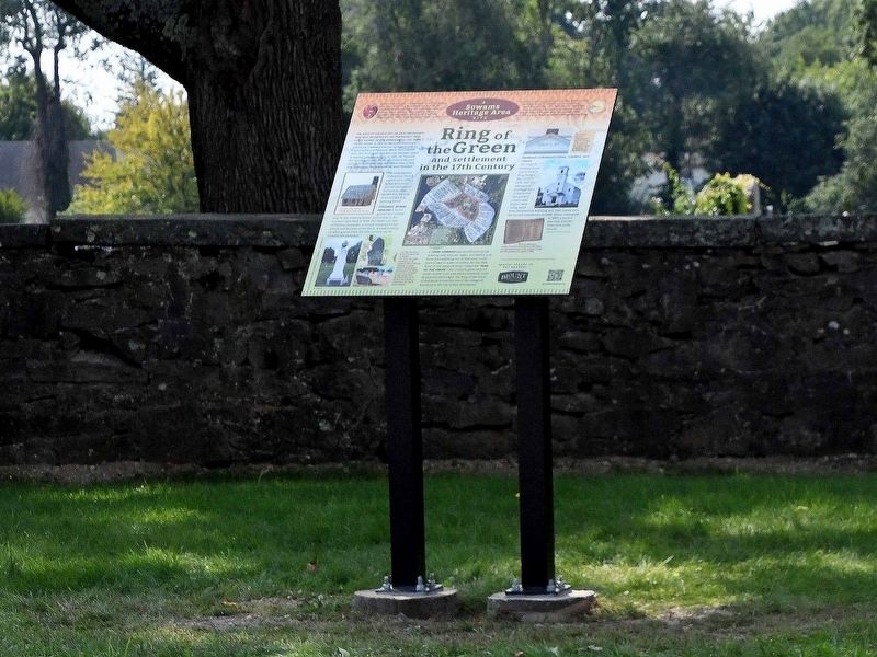
Location. 41° 50.493′ N, 71° 21.036′ W. Marker is in Rumford, Rhode Island, in Providence County. Marker is at the intersection of Newman Avenue (Rhode Island Route 152) and Pawtucket Avenue (Rhode Island Route 1A), on the right when traveling east on Newman Avenue. The marker is located directly across from the Newman Congregational Church on Newman Avenue next to the cemetery entrance. Touch for map. Marker is at or near this postal address: 100 Newman Avenue, Rumford RI 02916, United States of America. Touch for directions.
Other nearby markers. At least 8 other markers are within 3 miles of this marker, measured as the crow flies. John F. "Jack" McGee (approx. 1.9 miles away); Honorary Ribeira Grande Avenue (approx. 2 miles away);
Veterans Memorial (approx. 2 miles away); Roster of Bucklin Post No. 20 G.A.R. (approx. 2 miles away); Looff Carousel (approx. 2.1 miles away); Daggett House (approx. 2.1 miles away); Morris Brown House (approx. 2.2 miles away); McLynch-Gilbert Memorial Bridge (approx. 2.2 miles away).
Regarding Ring of the Green and settlement in the 17th Century. This is part of a series of markers for the Sowams Heritage Area Project (www.SowamsHeritageArea.org)
Additional keywords. Plymouth Colony, King Philip's War, Pokanoket, Massasoit, Ousamequin, John Brown, Edward Winslow, John Newman, concordance, William Carpenter, Ring of the Green, Rehoboth, Ten Mile River
Credits. This page was last revised on February 8, 2023. It was originally submitted on October 9, 2022, by David Weed of Warren, Rhode Island. This page has been viewed 271 times since then and 51 times this year. Photos: 1, 2. submitted on October 9, 2022, by David Weed of Warren, Rhode Island. • Bill Pfingsten was the editor who published this page.

