Near Libby in Aitkin County, Minnesota — The American Midwest (Upper Plains)
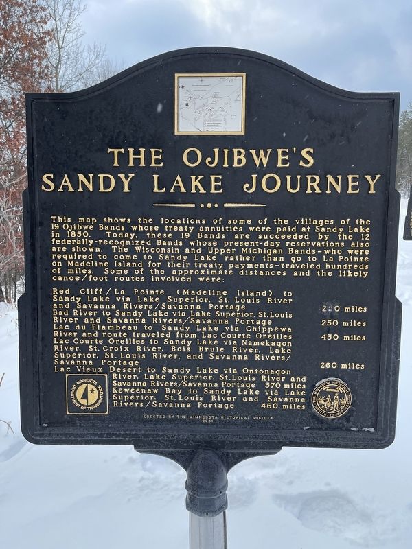
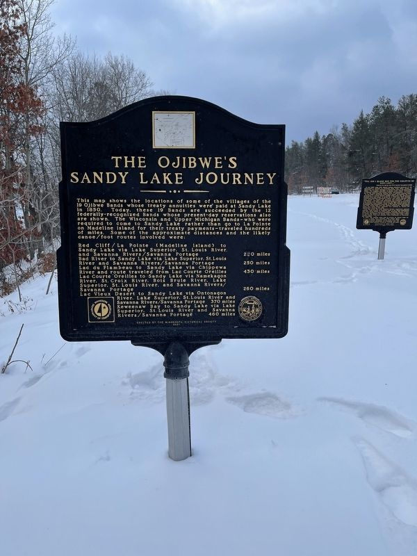
The Ojibwe's Sandy Lake Journey
This map shows the locations of some of the villages of the 19 Ojibwe Bands whose treaty annuities were paid at Sandy Lake in 1850. Today, these 19 Bands are succeeded by the 12 federally-recognized Bands whose present-day reservations also are shown. The Wisconsin and Upper Michigan Bands - who were required to come to Sandy Lake rather than go to La Pointe on Madeline Island for their treaty payments - traveled hundreds of miles. Some of the approximate distances and the likely canoe/foot routes involved were:
Red Cliff / La Pointe (Madeline Island) to Sandy Lake via Lake Superior, St. Louis River and Savanna Rivers / Savanna Portage · 220 miles
Bad River to Sandy Lake via Lake Superior, St. Louis River and Savanna Rivers / Savanna Portage · 250 miles
Lac du Flambeau to Sandy Lake via Chippewa River and route traveled from Lac Courte Oreilles · 430 miles
Lac Courte Oreilles to Sandy Lake via Namekagon River, St. Croix River, Bois Brule River, Lake Superior, St. Louis River, and Savanna Rivers / Savanna Portage · 260 miles
Lac Vieux Desert to Sandy Lake via Ontonagon River, Lake Superior, St. Louis River and Savanna Rivers / Savanna Portage · 370 miles
Keweenaw Bay to Sandy Lake via Lake Superior, St. Louis River and Savanna Rivers / Savanna Portage · 460 miles
Erected 2001 by Minnesota Historical Society.
Topics. This historical marker is listed in these topic lists: Native Americans • Settlements & Settlers • Waterways & Vessels. A significant historical month for this entry is November 1850.
Location. 46° 46.445′ N, 93° 19.605′ W. Marker is near Libby, Minnesota, in Aitkin County. Marker is on State Highway 65, on the right when traveling north. The marker is located at the Big Sandy Lake Wayside Rest Area. Touch for map. Marker is in this post office area: Palisade MN 56469, United States of America. Touch for directions.
Other nearby markers. At least 5 other markers are within 12 miles of this marker, measured as the crow flies. "Tell him I blame him for the children we have lost...." (a few steps from this marker); Big Sandy Lake Reservoir (a few steps from this marker); Where River Roads Met (within shouting distance of this marker); Sandy Lake Post (approx. one mile away); Glacial Lake Aitkin / Peat (approx. 11.6 miles away).
Credits. This page was last revised on October 10, 2022. It was originally submitted on October 10, 2022, by Liz Koele of St. Paul, Minnesota. This page has been viewed 152 times since then and 32 times this year. Photos: 1, 2. submitted on October 10, 2022, by Liz Koele of St. Paul, Minnesota. • J. Makali Bruton was the editor who published this page.

