Chatfield in Fillmore County, Minnesota — The American Midwest (Upper Plains)
Chatfield
Photographed by Liz Koele, March 9, 2022
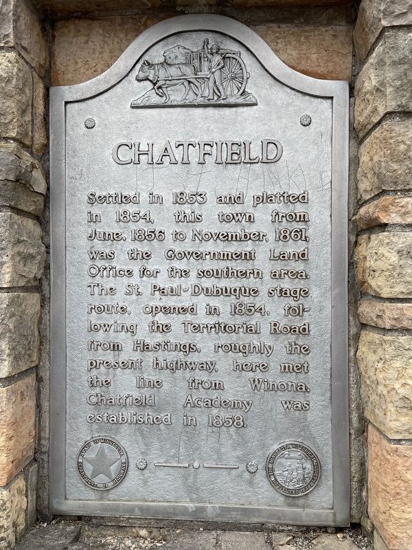
1. Chatfield Marker
Settled in 1863 and platted in 1854, this town from June, 1856 to November, 1861, was the Government Land Office for the southern area. The St. Paul-Dubuque stage route, opened in 1854, following the Territorial Road from Hastings, roughly the present highway, here met the line from Winona. Chatfield Academy was established in 1858.
Erected 1955.
Topics. This historical marker is listed in these topic lists: Education • Roads & Vehicles • Settlements & Settlers. A significant historical month for this entry is June 1856.
Location. 43° 50.31′ N, 92° 10.513′ W. Marker is in Chatfield, Minnesota, in Fillmore County. It is on Main Street (U.S. 52) west of Winona Street SE, on the left when traveling north. Touch for map. Marker is in this post office area: Chatfield MN 55923, United States of America. Touch for directions.

Regionally, this marker is in Southeast Minnesota and in Greater Rochester. It is also in the American Midwest, in the Corn Belt, and in the Driftless Area — Bluff Country. Globally, it is in North America, the Western Hemisphere, the Western World, and the Anglosphere. Historically,
this page online
Other nearby markers. At least 8 other markers are within walking distance of this marker: The New Deal Comes to Chatfield (approx. 0.7 miles away); Chatfield High School (1916-1959) (approx. 0.7 miles away); Chatfield's Public Education Legacy (approx. 0.7 miles away); Chatfield's Historic Carnegie Library (approx. ¾ mile away); a different marker also named Chatfield (approx. ¾ mile away); Main Street—From Wilderness Trail to Modern Highway (approx. ¾ mile away); Chatfield Loses County Courthouse, Gains Its First Municipal Park (approx. ¾ mile away); Chatfield's Civic Geometry (approx. ¾ mile away). Touch for a list and map of all markers in Chatfield.
Photographed by Liz Koele, March 9, 2022
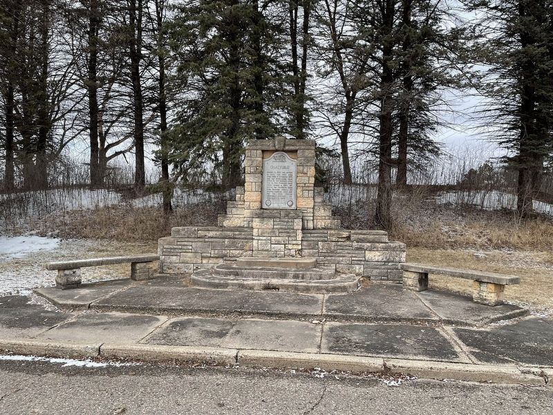
2. Chatfield Marker
Credits. This page was last revised on October 28, 2025. It was originally submitted on October 10, 2022, by Liz Koele of St. Paul, Minnesota. This page has been viewed 506 times since then and 49 times this year. Photos: 1, 2. submitted on October 10, 2022, by Liz Koele of St. Paul, Minnesota. • Bill Pfingsten was the editor who published this page.
