Seven Springs in Wayne County, North Carolina — The American South (South Atlantic)
Battle of Whitehall
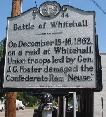
Photographed by Craig Swain, May 7, 2010
1. Battle of Whitehall Marker
Erected 1970 by State Department of Archives and History. (Marker Number F-44.)
Topics and series. This historical marker is listed in this topic list: War, US Civil. In addition, it is included in the North Carolina Division of Archives and History series list. A significant historical date for this entry is December 15, 1862.
Location. 35° 13.636′ N, 77° 50.781′ W. Marker is in Seven Springs, North Carolina, in Wayne County. It is at the intersection of Main Street and East Spring Street, on the right when traveling north on Main Street. Located in front of the fire station. Touch for map. Marker is in this post office area: Seven Springs NC 28578, United States of America. Touch for directions.

Regionally, this marker is in North Carolina’s Coastal Plain and in the Piedmont. It is also in the American South and specifically in the Upper South. Globally, it is in North America, the Western Hemisphere, the Western World, and the Anglosphere. Historically, it finds itself in what was once the
this page online
Other nearby markers. At least 8 other markers are within 12 miles of this marker, measured as the crow flies: A different marker also named The Battle of Whitehall (about 400 feet away, measured in a direct line); Engagement at Whitehall (about 500 feet away); Dobbs County Court House (approx. 4.1 miles away); William Dunn Moseley (approx. 5.8 miles away); a different marker also named Dobbs County Court House (approx. 6.2 miles away); Dobbs County (approx. 6.2 miles away); James Y. Joyner (approx. 6.3 miles away); Seymour Johnson Air Force Base (approx. 11½ miles away). Touch for a list and map of all markers in Seven Springs.
Also see . . . Battle of Whitehall. Battle summary. (Submitted on May 9, 2010, by Craig Swain of Leesburg, Virginia.)
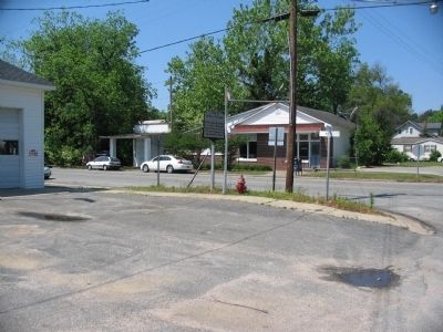
Photographed by Craig Swain, May 7, 2010
2. Battle of Whitehall Marker
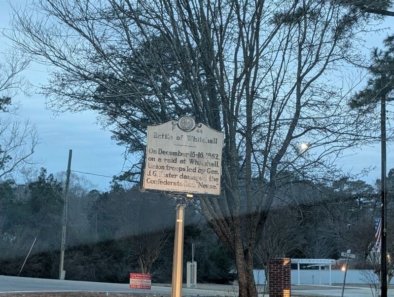
Photographed by Mark P. Brock-Cancellieri, February 15, 2026
3. Battle of Whitehall Marker
Credits. This page was last revised on March 24, 2026. It was originally submitted on May 9, 2010, by Craig Swain of Leesburg, Virginia. This page has been viewed 1,528 times since then and 54 times this year. Last updated on October 10, 2022, by john G debinder of Cary, nc, United States. Photos: 1, 2. submitted on May 9, 2010, by Craig Swain of Leesburg, Virginia. 3. submitted on March 13, 2026, by Mark P. Brock-Cancellieri of Baltimore, Maryland. • Bernard Fisher was the editor who published this page.
