Near Stockdale in Wilson County, Texas — The American South (West South Central)
Site of Nockenut
Photographed by James Hulse, October 5, 2022
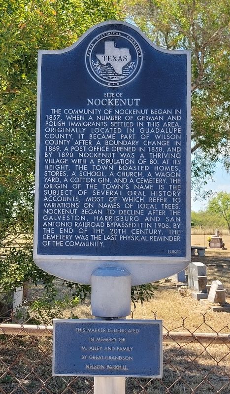
1. Site of Nockenut Marker
In Memory of
M. Alley and Family
By Great-Grandson
Nelson Parkhill
Erected 2001 by Texas Historical Commission. (Marker Number 12382.)
Topics. This historical marker is listed in these topic lists: Cemeteries & Burial Sites • Railroads & Streetcars • Settlements & Settlers. A significant historical year for this entry is 1857.
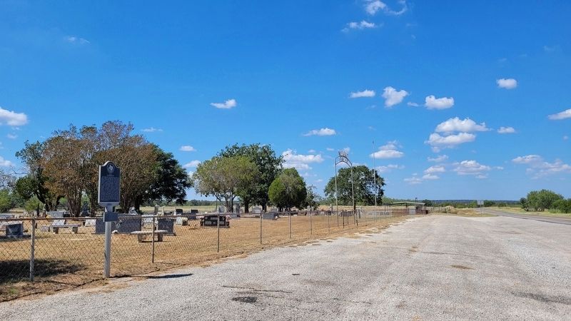
Location. 29° 19.942′ N, 97° 53.554′ W. Marker is near Stockdale, Texas, in Wilson County. It is at the intersection of Farm to Market Road 1681 and County Highway 438, on the right when traveling east on Highway 1681. The marker is located at the front entrance of the Nockenut Cemetery. Touch for map. Marker is in this post office area: Stockdale TX 78160, United States of America. Touch for directions.

Regionally, this marker is in the Hill Country and in the San Antonio Metropolitan Area. It is also in the American South. Globally, it is in North America, a Gulf of Mexico state, the Western Hemisphere, the Western World, and the Anglosphere. Historically, it finds itself in what was
this page online
Other nearby markers. At least 8 other markers are within 8 miles of this marker, measured as the crow flies: Albuquerque (approx. 3.1 miles away); Site of Old Town of Union Valley (approx. 3.1 miles away); Sandies-Dewville Community (approx. 5.9 miles away); Sandies Chapel Cemetery (approx. 5.9 miles away); Dewville United Methodist Church (approx. 6 miles away); Christ United Methodist Church (approx. 7.8 miles away); The First Baptist Church of Stockdale (approx. 8 miles away); Ella Ware, M.D. (approx. 8 miles away). Touch for a list and map of all markers in Stockdale.
Also see . . . Nockenut, TX. Texas State Historical Association
Nockenut is on Farm Road 1681 twenty miles northeast of Floresville in northeastern Wilson County. It was settled in 1857 during the wave of German and Polish immigration into the area around Marion in Guadalupe County and Panna Maria in Karnes County. A post office opened there in 1858.(Submitted on October 10, 2022, by James Hulse of Medina, Texas.)
Photographed by James Hulse, October 5, 2022
2. The view of the Site of Nockenut Marker from the street
Credits. This page was last revised on October 10, 2022. It was originally submitted on October 10, 2022, by James Hulse of Medina, Texas. This page has been viewed 564 times since then and 52 times this year. Photos: 1, 2. submitted on October 10, 2022, by James Hulse of Medina, Texas.
