Gananoque in Leeds and Grenville United Counties, Ontario — Central Canada (North America)
Taming the Wilderness / Domestiquer la Nature
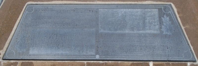
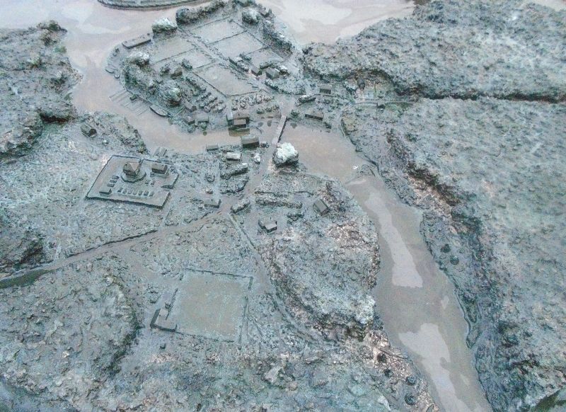
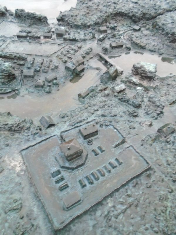
— The Garrison Settlement at Gananoque ca: 1815/16 —
Inscription.
When Stone’s mill began operating in 1795, its saws were capable of cutting up to 16 planks at a time. Lumber from Stone’s mill and raw timber from his lands supplied markets all along the St. Lawrence River upstream to Kingston and beyond and downstream all the way to Montreal. By this time, his new schooner, the “Leeds Trader” had been launched and put to profitable use as a charter vessel and transport.
Lorsque le moulin de Stone commença ses activités, en 1795, ses scie pouvaient couper 16 madriers à la fois. Le bois de scierie du moulin de Stone et le bois brut provenant de ses terres approvisionnèrent les marchés situés le long de fleuve Saint-Laurent, en amont vers Kingston, et en aval jusqu’a Montréal. Entre temps, sa nouvelle goélette, le «Leeds Trader», avait été mise à l’eau et utilisée de façon profitable comme bâtiment affrété et pour le transport.
Erected by Canadian Heritage, Town of Gananoque, and Concerned Citizens and Service Clubs.
Topics. This historical marker is listed in these topic lists: Environment • Industry & Commerce
• Settlements & Settlers • Waterways & Vessels. A significant historical year for this entry is 1792.
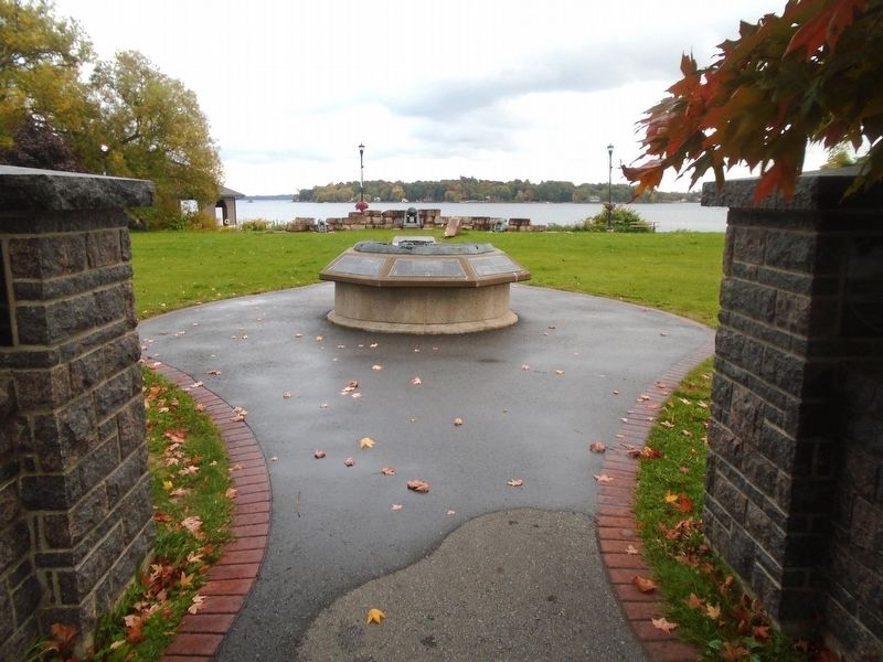
Location. 44° 19.398′ N, 76° 9.738′ W. Marker is in Gananoque, Ontario, in Leeds and Grenville United Counties. Marker is on Water Street just west of Market Street, on the left when traveling west. Marker and Garrison Settlement diorama are located in Joel Stone Heritage Park. Touch for map. Marker is in this post office area: Gananoque ON K7G 2M5, Canada. Touch for directions.
Other nearby markers. At least 8 other markers are within walking distance of this marker. United Empire Loyalist Joel Stone 1749-1833 (here, next to this marker); Infrastructure / Infrastructures (here, next to this marker); River Traffic / Affluence sur la Rivière (here, next to this marker); The Raid on Gananoque / Le Raid sur la Gananoque (here, next to this marker); The Garrison Settlement / l’Établissement de la Garnison (here, next to this marker); A Bright and Prosperous Future / un Avenir Brillant et Prospère (here, next to this marker); War of 1812-1814 (a few steps from this marker); War Memorial (within shouting distance of this marker). Touch for a list and map of all markers in Gananoque.
More about this marker. The black granite markers are difficult to photograph and have the text legible in the photo.
Also see . . .
Joel Stone. (Submitted on October 11, 2022, by William Fischer, Jr. of Scranton, Pennsylvania.)
Credits. This page was last revised on October 11, 2022. It was originally submitted on October 11, 2022, by William Fischer, Jr. of Scranton, Pennsylvania. This page has been viewed 45 times since then and 3 times this year. Photos: 1. submitted on October 11, 2022, by William Fischer, Jr. of Scranton, Pennsylvania. 2, 3, 4. submitted on October 10, 2022, by William Fischer, Jr. of Scranton, Pennsylvania.


