Hagerstown in Washington County, Maryland — The American Northeast (Mid-Atlantic)
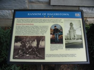
Ransom of Hagerstown
Retreat From Gettysburg
On July 6, 1863, Captain Ulrich Dahlgren was wounded in his right leg at this location while leading a detachment of dismounted troopers from the 18th Pennsylvania Cavalry, as they advanced up North Potomac Street. The leg was amputated at a field hospital in Boonsboro, and later he returned to duty only to be killed leading a raid on the Confederate capital of Richmond on March 1, 1864.
Erected by Maryland Heritage Area.
Topics. This historical marker is listed in this topic list: War, US Civil. A significant historical month for this entry is March 1808.
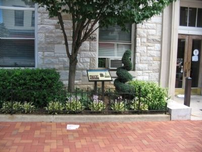
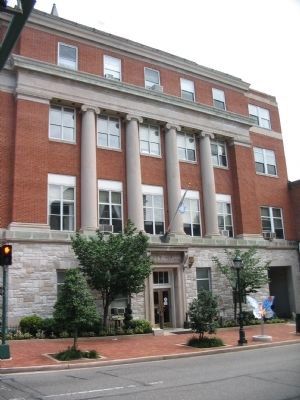
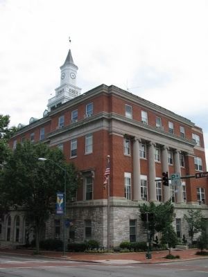
Location. 39° 38.589′ N, 77° 43.158′ W. Marker is in Hagerstown, Maryland, in Washington County. Marker is at the intersection of North Potomac Street (State Highway 65) and East Franklin Street (U.S. 40), on the right when traveling north on North Potomac Street. Located in front of the City Hall. Touch for map. Marker is in this post office area: Hagerstown MD 21740, United States of America. Touch for directions.
Other nearby markers. At least 8 other markers are within walking distance of this marker. Second Battle of Hagerstown (within shouting distance of this marker); First Battle of Hagerstown (within shouting distance of this marker); Treatment of the Wounded (within shouting distance of this marker); Fighting House to House, Yard to Yard (about 300 feet away, measured in a direct line); Hagerstown (about 300 feet away); Gettysburg Campaign (about 300 feet away); Hagerstown Ransomed (about 400 feet away); A City Divided (about 400 feet away). Touch for a list and map of all markers in Hagerstown.
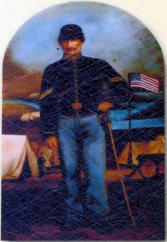
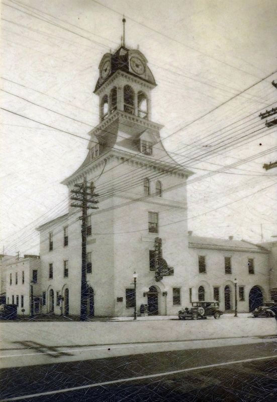
More about this marker. In the lower left, In this staged photo from June, 1863, Captain Dahlgren (standing) looks over documents held by Prussian military observer Count Ferdinand Von Zeppelin, who later developed "rigid airships" for passenger travel. In the center is a portrait of Corporal Lawrence Feigenschuh, 18th Pennsylvania Cavalry, was captured by the Confederates in the streets of Hagerstown and held as a prisoner of war until exchanged in 1864. To the right is a photo of the Hagerstown City Hall (1818-1939), circa 1930.
Also see . . . Crossroads of the Civil War. More information about the Civil War activities in Hagerstown and Washington County, Maryland. (Submitted on July 12, 2009, by Craig Swain of Leesburg, Virginia.)
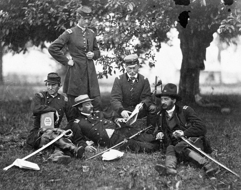
Library of Congress
4. Dahlgren and Zeppelin
In this staged photo from June, 1863, Captain Dahlgren (standing) looks over documents held by Prussian military observer Count Ferdinand Von Zeppelin, who later developed “rigid airships” for passenger travel.
The three men in front of Count Zeppelin are, left to right: Major William Ludlow, with The Art of War; Lt. Rosencranz (lying down), a Swedish observer and McClellan's Aide-de-camp; and Lt. Colonel Joseph Dickinson, Hooker's Assistant Adjutant General.
The three men in front of Count Zeppelin are, left to right: Major William Ludlow, with The Art of War; Lt. Rosencranz (lying down), a Swedish observer and McClellan's Aide-de-camp; and Lt. Colonel Joseph Dickinson, Hooker's Assistant Adjutant General.
Credits. This page was last revised on August 18, 2017. It was originally submitted on July 12, 2009, by Craig Swain of Leesburg, Virginia. This page has been viewed 1,293 times since then and 16 times this year. Photos: 1, 2, 3. submitted on July 12, 2009, by Craig Swain of Leesburg, Virginia. 4. submitted on August 14, 2017, by Allen C. Browne of Silver Spring, Maryland. 5. submitted on July 12, 2009, by Craig Swain of Leesburg, Virginia. 6, 7. submitted on August 14, 2017, by Allen C. Browne of Silver Spring, Maryland.
