Pembroke in Detroit in Wayne County, Michigan — The American Midwest (Great Lakes)
Birwood Wall / Eight Mile-Wyoming Neighborhood
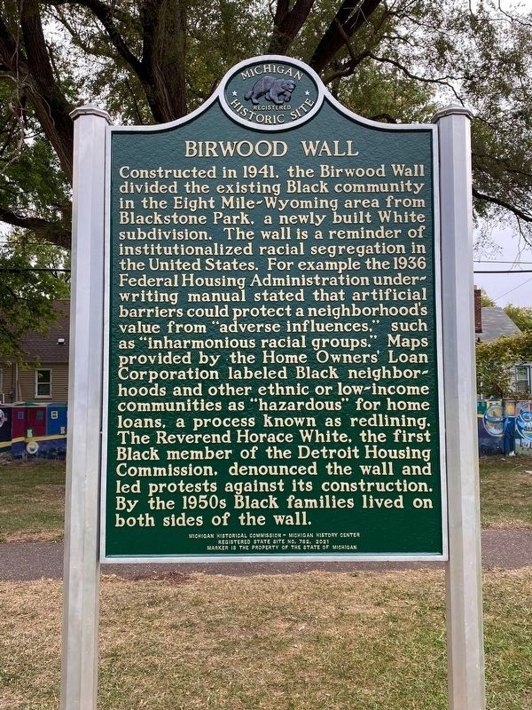
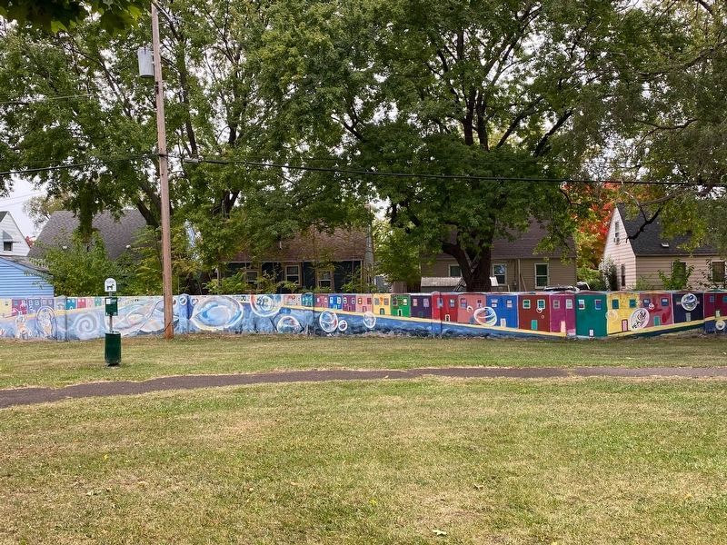
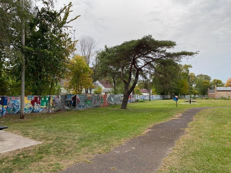
Birwood Wall. Constructed in 1941, the Birwood Wall divided the existing Black community in the Eight Mile-Wyoming area from Blackstone Park. a newly built White subdivision. The wall is a reminder of institutionalized racial segregation in the United States. For example the 1936 Federal Housing Administration underwriting manual stated that artificial barriers could protect a neighborhood's value from "adverse influences." such as "inharmonious racial groups." Maps provided by the Home Owners' Loan Corporation labeled Black neighborhoods and other ethnic or low-income communities as "hazardous" for home loans, a process known as redlining. The Reverend Horace White, the first Black member of the Detroit Housing Commission. denounced the wall and led protests against its construction. By the 1950s Black families lived on both sides of the wall.
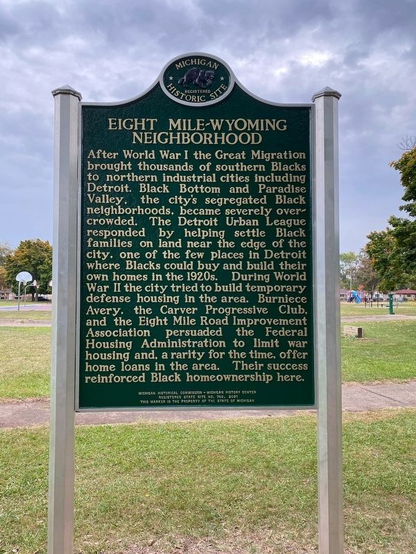
Eight Mile-Wyoming Neighborhood. After World War I the Great Migration brought thousands of southern Blacks to northern industrial cities including Detroit. Black Bottom and Paradise Valley, the city's segregated Black neighborhoods, became severely overcrowded. The Detroit Urban League responded by helping settle Black families on land near the edge of the city, one of the few places in Detroit where Blacks could buy and build their own homes in the 1920s. During World War II the city tried to build temporary defense housing in the area. Burniece Avery, the Carver Progressive Club, and the Eight Mile Road Improvement Association persuaded the Federal Housing Administration to limit war housing and, a rarity for the time, offer home loans in the area. Their success reinforced Black homeownership here.
Erected 2021 by Michigan Historical Commission - Michigan History Center. (Marker Number S762.)
Topics. This historical marker is listed in these topic lists: African Americans • Civil Rights • Parks & Recreational Areas • Settlements & Settlers. A significant historical year for this entry is 1941.
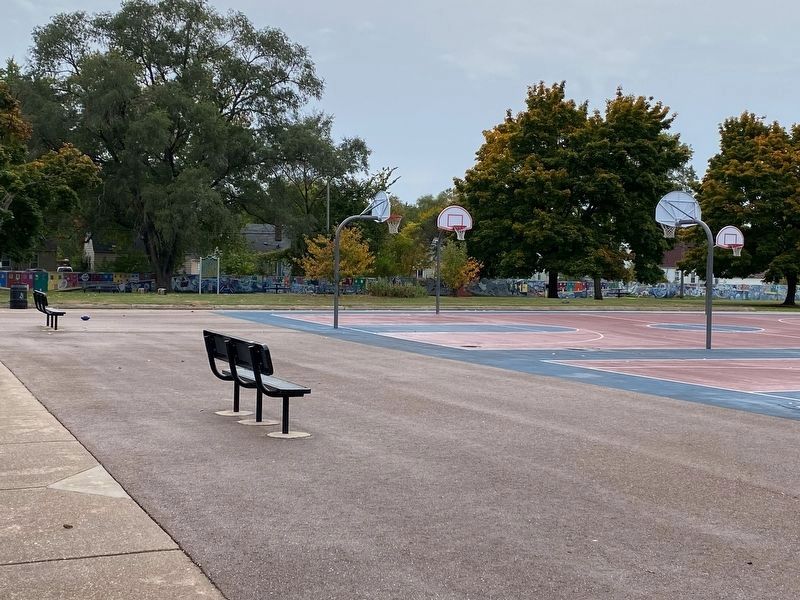
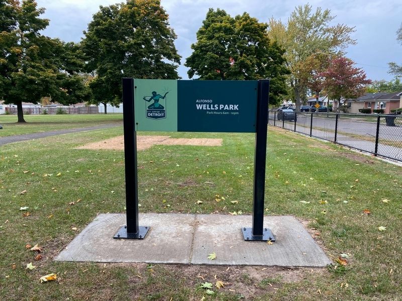
Location. 42° 26.522′ N, 83° 9.961′ W. Marker is in Detroit, Michigan, in Wayne County. It is in Pembroke. Marker can be reached from Griggs Avenue, 0.1 miles north of Chippewa Avenue, on the right when traveling south. This marker stands in the west portion of Alfonso Wells Memorial Playground near the wall it is commemorating. Touch for map. Marker is at or near this postal address: 20159 Griggs Avenue, Detroit MI 48221, United States of America. Touch for directions.
Other nearby markers. At least 8 other markers are within 2 miles of this marker, measured as the crow flies. Carver Elementary School (approx. 0.6 miles away); Hartford Memorial Baptist Church (approx. 1.3 miles away); Ferndale Veterans Memorial (approx. 1.6 miles away);
a different marker also named Ferndale Veterans Memorial (approx. 1.6 miles away); Ferndale World War I Memorial (approx. 1.6 miles away); Five and Dime (approx. 2 miles away); Pioneer & Merriman Apartments / Ferndale Fun Fact #2 / Ferndale History (approx. 2 miles away); Bishop's Residence (approx. 2 miles away). Touch for a list and map of all markers in Detroit.
Also see . . . Birwood Wall. Wikipedia entry:
The Detroit Eight Mile Wall, also referred to as Detroit's Wailing Wall, Berlin Wall or The Birwood Wall, is a one-foot-thick (0.30 m), six-foot-high (1.8 m) separation wall that stretches about 1⁄2 mile (0.80 km) in length. 1 foot (0.30 m) is buried in the ground and the remaining 5 feet (1.5 m) is visible to the community. It was constructed in 1941 to physically separate black and white homeowners on the sole basis of race. The wall no longer serves to racially segregate homeowners and, as of 1971, both sides of the barrier have been predominantly black.(Submitted on October 12, 2022, by J.T. Lambrou of New Boston, Michigan.)
Additional keywords.
segregation
Credits. This page was last revised on August 1, 2023. It was originally submitted on October 12, 2022, by J.T. Lambrou of New Boston, Michigan. This page has been viewed 179 times since then and 46 times this year. Photos: 1, 2, 3, 4, 5, 6, 7. submitted on October 12, 2022, by J.T. Lambrou of New Boston, Michigan. • Devry Becker Jones was the editor who published this page.
