Near Middlesboro in Bell County, Kentucky — The American South (East South Central)
"This American Gibraltar"
Photographed by Craig Swain, September 5, 2010
1. "This American Gibraltar" Marker
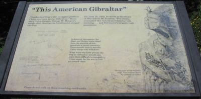
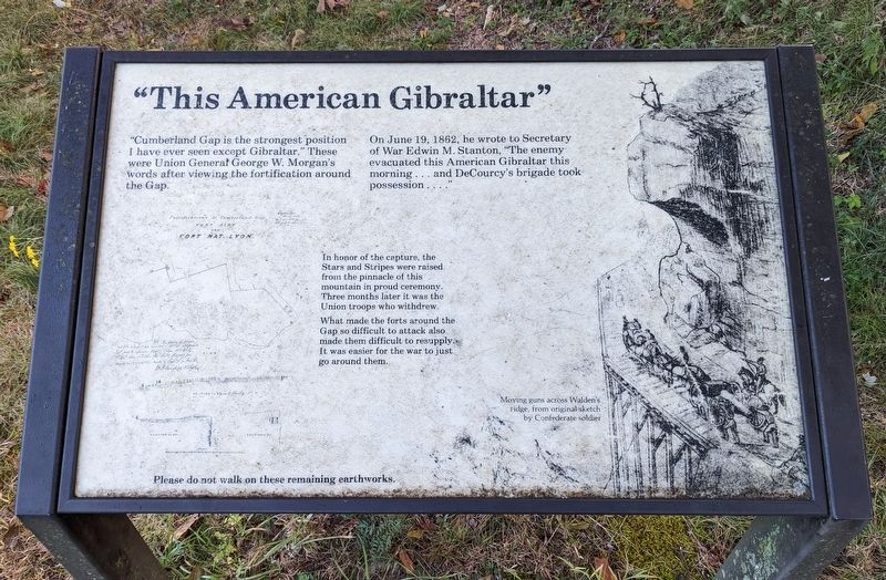
On June 19, 1862, he wrote to Secretary of War Edwin M. Stanton, "The enemy evacuated this American Gibraltar this morning... and DeCourcy's brigade took possession...."
In honor of the capture, the Stars and Stripes were raised from the pinnacle of this mountain in proud ceremony. Three months later it was the Union troops who withdrew.
What made the forts around the Gap so difficult to attack also made them difficult to resupply. It was easier for the war to just go around them.
Please do not walk on these remaining earthworks.
Erected by National Park Service, U.S. Department of the Interior.
Topics. This historical marker is listed in these topic lists: Forts and Castles • War, US Civil. A significant historical date for this entry is June 19, 1862.
Location. 36° 36.35′ N, 83° 39.959′ W. Marker is near Middlesboro, Kentucky, in Bell County. It can be reached from Pinnacle Road, on the right when traveling east. Located near a foot path from the Pinnacle
this page online

Regionally, this marker is in Eastern Kentucky and in the Cumberland Plateau. It is also in the American South, specifically in the Upper South, in Appalachia, and specifically in Southern Appalachia. Globally, it is in North America, the Western Hemisphere, the Western World, and the Anglosphere. Historically, it finds itself in what was once the territory of the Mississippian Culture and also the Antebellum South.
Other nearby markers. At least 8 other markers are within walking distance of this marker: Top Guns (a few steps from this marker); Pinnacle Overlook (about 300 feet away, measured in a direct line); Gateway to Kaintuck (about 300 feet away); Generations Have Enjoyed this View (about 400 feet away in Virginia); a different marker also named Gateway to Kaintuck (about 400 feet away); a different marker also named Pinnacle Overlook (about 400 feet away); Boundaries Settled (about 600 feet away in Virginia);
September 30, 2022
2. "This American Gibraltar" Marker
Other markers no longer nearby. Waiting for the Battle that Never Came (was here, next to this marker but has been permanently removed); Powell's Valley (was about 400 feet away in Virginia but has been confirmed missing); Named for a British Lord (was about 400 feet away in Virginia but has been confirmed missing); A Maze of Mountains (was about 400 feet away in Virginia but has been confirmed missing).
More about this marker. This marker was previously located at 36° 36.343′ N, 83° 39.962′ W.
Also see . . . Cumberland Gap National Historical Park. (Submitted on September 15, 2010, by Craig Swain of Leesburg, Virginia.)
Photographed by Craig Swain, September 5, 2010
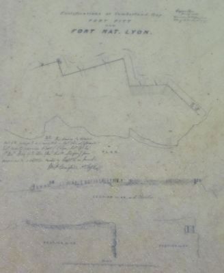
3. Plan of Fort Lyon
Photographed by Craig Swain, September 5, 2010
4. "This American Gibraltar" Marker
September 30, 2022
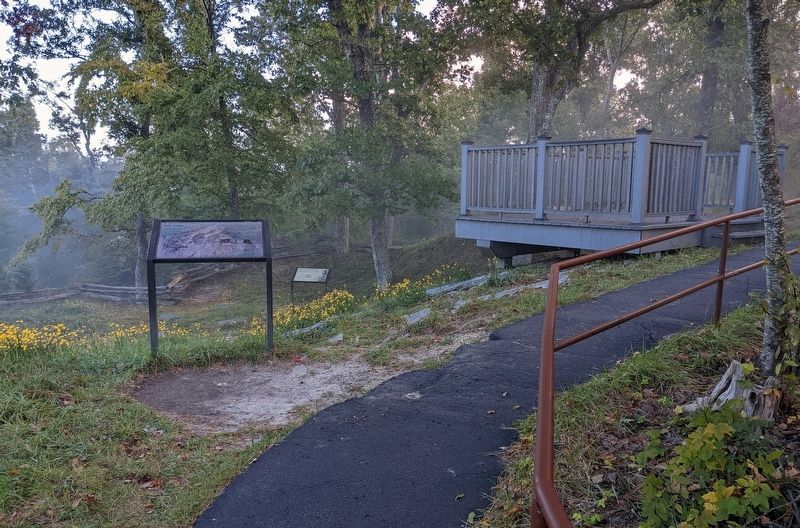
5. "This American Gibraltar" Marker
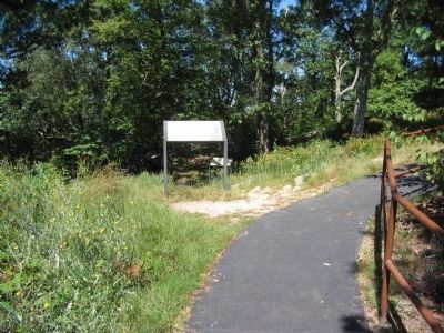
Marker has been relocated from the current site of the Top Guns marker to the former site of the removed Waiting for the Battle that Never Came marker.
Photographed by Craig Swain, September 5, 2010
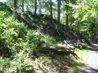
6. Exterior of Fort Lyon
The steep slopes in the gap enhanced the works built by the soldiers.
Credits. This page was last revised on October 13, 2022. It was originally submitted on September 15, 2010, by Craig Swain of Leesburg, Virginia. This page has been viewed 1,705 times since then and 43 times this year. Last updated on October 12, 2022. Photos: 1. submitted on September 15, 2010, by Craig Swain of Leesburg, Virginia. 2. submitted on October 12, 2022. 3, 4. submitted on September 15, 2010, by Craig Swain of Leesburg, Virginia. 5. submitted on October 12, 2022. 6. submitted on September 15, 2010, by Craig Swain of Leesburg, Virginia. • Bernard Fisher was the editor who published this page.
