Uniontown in Fayette County, Pennsylvania — The American Northeast (Mid-Atlantic)
Thomas Jefferson and Albert Gallatin
Photographed by Bradley Owen, October 10, 2022
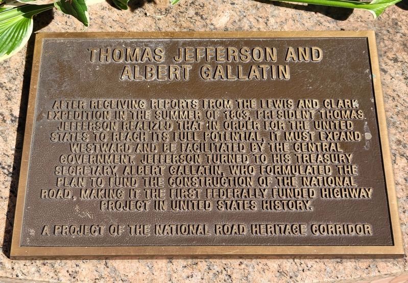
1. Thomas Jefferson and Albert Gallatin Marker
After receiving reports from the Lewis and Clark Expedition in the summer of 1803, President Thomas Jefferson realized that in order for the United States to reach its full potential, it must expand westward and be facilitated by the central government. Jefferson turned to his Treasury Secretary, Albert Gallatin, who formulated the plan to fund the construction of the National Road, making it the first federally funded highway project in United States history.
Erected by The National Road Heritage Corridor.
Topics and series. This historical marker is listed in these topic lists: Government & Politics • Roads & Vehicles. In addition, it is included in the The Historic National Road series list. A significant historical year for this entry is 1803.
Location. 39° 54.081′ N, 79° 43.518′ W. Marker is in Uniontown, Pennsylvania, in Fayette County. It is at the intersection of West Main Street (Business U.S. 40) and Beeson Avenue, on the right when traveling west on West Main Street. Marker is located in Eberly Square. Touch for map. Marker is at or near this postal address: 4 North Beeson Avenue, Uniontown PA 15401,
this page online

Regionally, this marker is in the Laurel Highlands. It is also in the American Northeast, in the Mid-Atlantic, in Appalachia, and specifically in Northern Appalachia. Globally, it is in North America, the Western Hemisphere, the Western World, and the Anglosphere. Historically, it finds itself in what was once the Viceroyalty of New France, the Haudenosaunee (Iroquois) Confederacy, and one of the original Thirteen Colonies.
Other nearby markers. At least 8 other markers are within walking distance of this marker: Lafayette's Tour (here, next to this marker); Uniontown (within shouting distance of this marker); In Memory of Walter J. "Buzz" Storey Jr. (within shouting distance of this marker); Rededication of Storey Square (within shouting distance of this marker); In Commemoration of the Bicentennial (about 300 feet away, measured in a direct line); "Nero" (about 400 feet away); George C. Marshall (about 400 feet away); 9/11 Memorial (about 400 feet away). Touch for a list and map of all markers in Uniontown.
Photographed by Bradley Owen, October 10, 2022
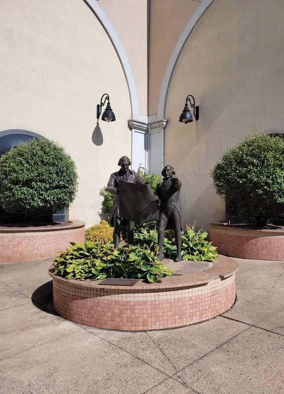
2. Thomas Jefferson and Albert Gallatin Marker
Marker is located in front of the plants.
Photographed by Bradley Owen, October 10, 2022
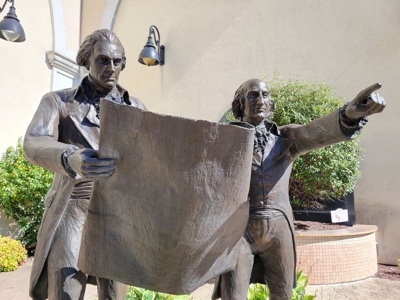
3. Closeup of Jefferson and Gallatin Sculpture
Credits. This page was last revised on October 13, 2022. It was originally submitted on October 12, 2022, by Bradley Owen of Morgantown, West Virginia. This page has been viewed 374 times since then and 47 times this year. Photos: 1, 2, 3. submitted on October 12, 2022, by Bradley Owen of Morgantown, West Virginia. • Bill Pfingsten was the editor who published this page.
