Inyokern in Kern County, California — The American West (Pacific Coastal)
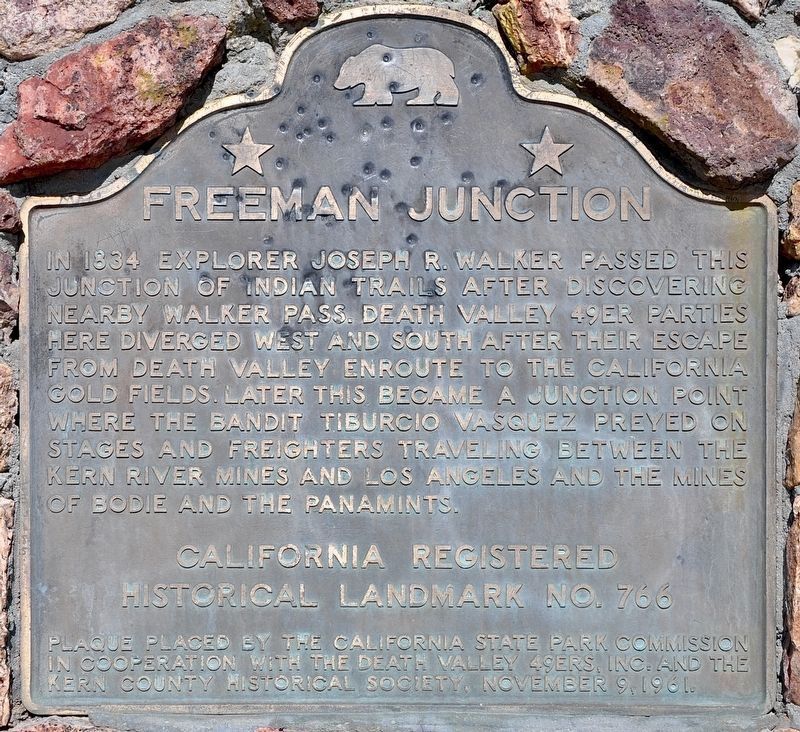
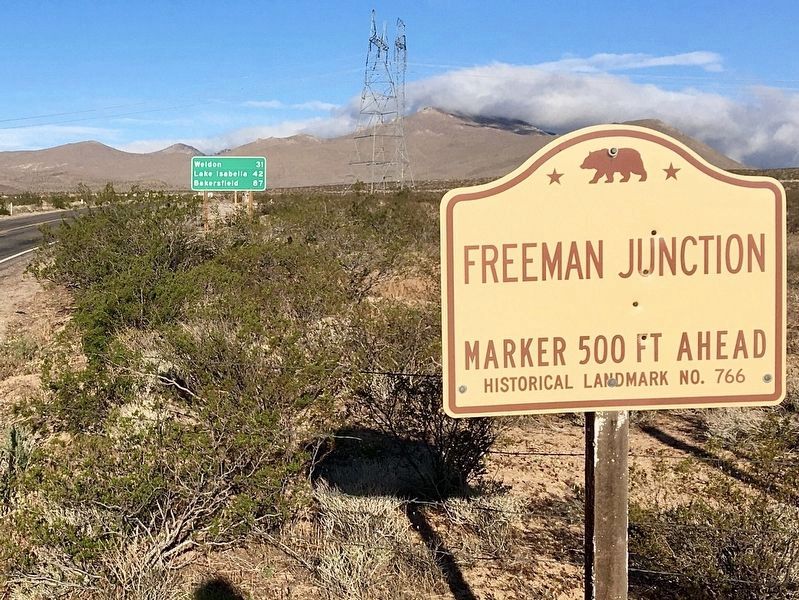
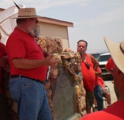
Freeman Junction
Erected 1961 by California State Park Commission in cooperation with the Death Valley 49ers, Inc. and the Kern County Historical Society. (Marker Number 766.)
Topics and series. This historical marker is listed in this topic list: Roads & Vehicles. In addition, it is included in the California Historical Landmarks series list. A significant historical year for this entry is 1834.
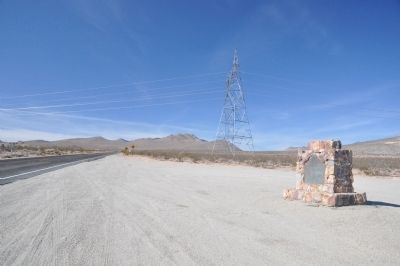
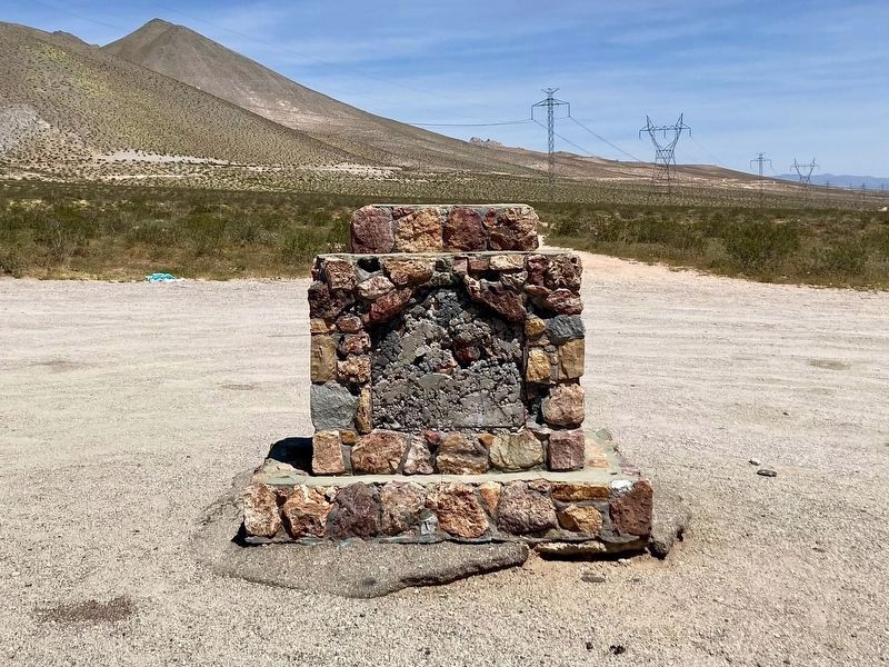
Location. Marker has been reported missing. It was located near 35° 36.124′ N, 117° 54.433′ W. Marker was in Inyokern, California, in Kern County. Marker was on Isabella Walker Pass Road (State Highway 178 at milepost 88), on the right when traveling west. Touch for map. Marker was in this post office area: Inyokern CA 93527, United States of America. Touch for directions.
Other nearby markers. At least 5 other markers are within 16 miles of this location, measured as the crow flies. Indian Wells (approx. 5 miles away); "Siding 16" (approx. 6.2 miles away); Walker's Pass (approx. 7.9 miles away); William Henry "Burro" Schmidt (approx. 13.4 miles away); Garlock (approx. 15.3 miles away).
More about this marker. California Historical Landmark No. 766
Credits. This page was last revised on May 12, 2023. It was originally submitted on December 7, 2011, by Michael Kindig of Elk Grove, California. This page has been viewed 1,094 times since then and 52 times this year. Last updated on October 13, 2022, by Alan Price or Jayne Hotchkiss-Price of Caliente, California. Photos: 1. submitted on March 6, 2022, by Craig Baker of Sylmar, California. 2, 3. submitted on December 7, 2011, by Michael Kindig of Elk Grove, California. 4. submitted on May 12, 2023, by Craig Baker of Sylmar, California. 5. submitted on April 4, 2022, by Craig Baker of Sylmar, California. 6. submitted on January 3, 2014, by Lester J Letson of Fresno, California. • Devry Becker Jones was the editor who published this page.
