Near Hiram in Paulding County, Georgia — The American South (South Atlantic)
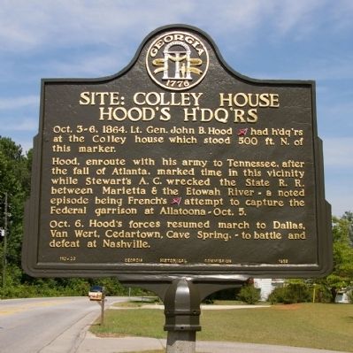
Site: Colley House Hood’s H’dq’rs
Hood, enroute with his army to Tennessee, after the fall of Atlanta, marked time in this vicinity while Stewart’s A. C. wrecked the State R. R. between Marietta & the Etowah River -- a noted episode being French’s [CS] attempt to capture the Federal garrison at Allatoona - Oct. 5.
Oct. 6, Hood’s forces resumed march to Dallas, Van Wert, Cedartown, Cave Spring, -- to battle and defeat at Nashville.
Erected 1953 by Georgia Historical Commission. (Marker Number 110-23.)
Topics and series. This historical marker is listed in this topic list: War, US Civil. In addition, it is included in the Georgia Historical Society series list. A significant historical year for this entry is 1864.
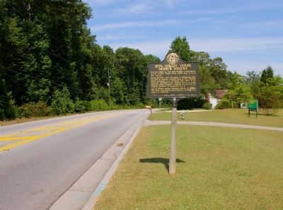
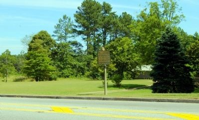
Location. 33° 54.51′ N, 84° 44.757′ W. Marker is near Hiram, Georgia, in Paulding County. Marker is at the intersection of Macland Road (Georgia Route 360) and Maxwell Road, on the right when traveling east on Macland Road. Touch for map. Marker is in this post office area: Hiram GA 30141, United States of America. Touch for directions.
Other nearby markers. At least 8 other markers are within 4 miles of this marker, measured as the crow flies. George Darby House Cleburne’s H’dq’rs. (approx. 0.3 miles away); Henry Lester House (approx. 1.3 miles away); Site: Robertson House (approx. 1.9 miles away); Polk’s Corps at Dallas and New Hope Church (approx. 1.9 miles away); The Hiram Rosenwald School (approx. 2.1 miles away); Eight Point Star (approx. 2½ miles away); Lost Mountain Cross-Roads (approx. 3.3 miles away); Johnston's Headquarters (approx. 3.7 miles away). Touch for a list and map of all markers in Hiram.
Credits. This page was last revised on June 16, 2016. It was originally submitted on July 13, 2009, by David Seibert of Sandy Springs, Georgia. This page has been viewed 1,119 times since then and 18 times this year. Photos: 1, 2, 3. submitted on July 13, 2009, by David Seibert of Sandy Springs, Georgia. • Craig Swain was the editor who published this page.


