Edwards AFB in Kern County, California — The American West (Pacific Coastal)
Branch Pond
History of the Pond
— Edwards Air Force Base —
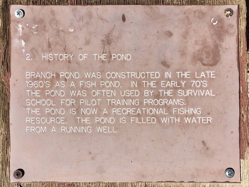
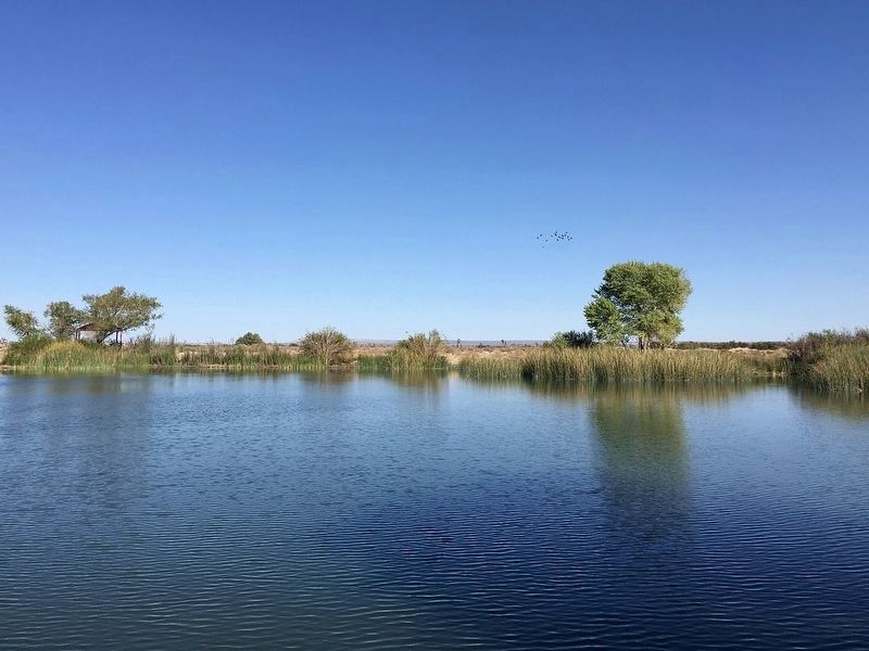
Branch Pond was constructed in the late 1960's as a fish pond. In the early 70's the pond was often used by the Survival School for pilot training programs. The pond is now a recreational fishing resource. The pond is filled with water from a running well. (Marker Number 2.)
Topics. This historical marker is listed in these topic lists: Air & Space • Education • Parks & Recreational Areas.
Location. 34° 49.397′ N, 117° 55.378′ W. Marker is in Edwards AFB, California, in Kern County. Marker can be reached from South Lancaster Boulevard, 0.4 miles west of 120th Street East, on the right when traveling west. Located in Edwards Air Force Base, not open to the public. Touch for map. Marker is in this post office area: Edwards CA 93523, United States of America. Touch for directions.
Other nearby markers. At least 8 other markers are within 5 miles of this marker, measured as the crow flies. Edwards Air Force Base (about 400 feet away, measured in a direct line); YC-15 (approx. 5 miles away); F-104A “Starfighter” (approx. 5.1 miles away); TF-102A “Delta Dagger” (approx. 5.1 miles away); F-105D “Thunderchief” (approx. 5.1 miles away); F-106B “Delta Dart” (approx. 5.1 miles away); F-101B “Voodoo” (approx. 5.1 miles away); YF-100A “Super Sabre” (approx. 5.1 miles away). Touch for a list and map of all markers in Edwards AFB.
Click on the ad for more information.
Please report objectionable advertising to the Editor.
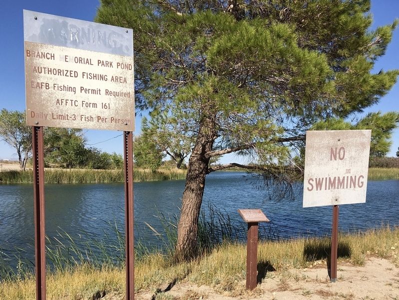
sectionhead>More about this marker. The marker is located on the south side of Branch Pond, which is next to Branch Memorial Park, one mile north of South Gate. Note: Edwards Air Force Base is not open to the public.Please report objectionable advertising to the Editor.
Regarding Branch Pond. This marker was part of an old nature trail. Most of the markers are missing.
Credits. This page was last revised on July 21, 2023. It was originally submitted on October 15, 2022, by Craig Baker of Sylmar, California. This page has been viewed 126 times since then and 11 times this year. Photos: 1, 2, 3. submitted on October 15, 2022, by Craig Baker of Sylmar, California.


