Near Calwood in Callaway County, Missouri — The American Midwest (Upper Plains)
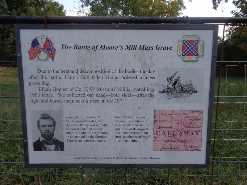
The Battle of Moore's Mill Mass Grave
Elijah Hopper of Co. F, 9th Missouri Militia, stated in a 1908 letter, "We collected our dead - both sides - after the fight and buried them near a store on the 29th."
(photo captions:)
·A member of Porter's 1st NE Missouri Cavalry, Capt. Sylvester Penny was mortally wounded and died the day after the battle. He was buried in an orchard on the Strother Farm in an unmarked grave.
·Jones Tanyard is now Calwood, and Moore's Mill is lost in the shrubs and brush of its original location northeast of the store, another casualty of history and time.
Erected by Elijah Gates Camp 570; Sons of Confederate Veterans; Fulton, Missouri.
Topics. This historical marker is listed in these topic lists: Cemeteries & Burial Sites • War, US Civil. A significant historical year for this entry is 1908.
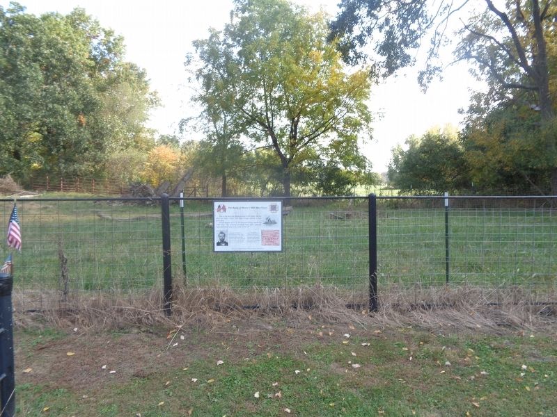
Location. 38° 54.887′ N, 91° 51.633′ W. Marker is near Calwood, Missouri, in Callaway County. Marker is on State Highway Z, half a mile west of State Highway JJ, on the left when traveling west. Touch for map. Marker is at or near this postal address: 7327 State Hwy Z, Fulton MO 65251, United States of America. Touch for directions.
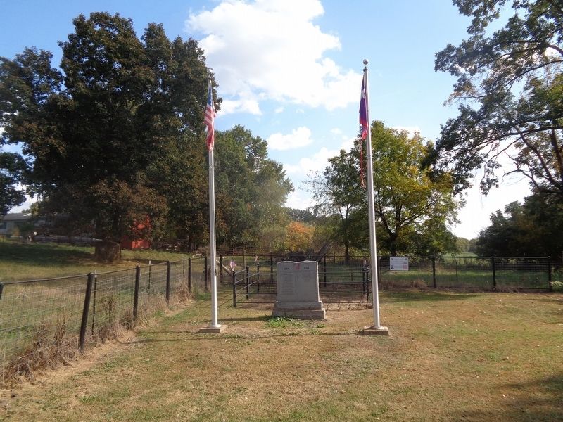
Other nearby markers. At least 8 other markers are within 6 miles of this marker, measured as the crow flies. Battle of Moore's Mill Memorial (here, next to this marker); The Battle of Moore's Mill (approx. 0.6 miles away); a different marker also named The Battle of Moore's Mill (approx. 0.6 miles away); a different marker also named The Battle of Moore's Mill (approx. 0.6 miles away); Jones Tan Yard - 1820 (approx. 1˝ miles away); Old Auxvasse Cemetery (approx. 2˝ miles away); Grant's Stage Stand - 1821 (approx. 5.3 miles away); Fulton Country Club (approx. 5.7 miles away). Touch for a list and map of all markers in Calwood.
Also see . . . Battle of Moore's Mill on Wikipedia. (Submitted on October 16, 2022, by Jason Voigt of Glen Carbon, Illinois.)
Credits. This page was last revised on October 16, 2022. It was originally submitted on October 16, 2022, by Jason Voigt of Glen Carbon, Illinois. This page has been viewed 183 times since then and 46 times this year. Photos: 1, 2, 3. submitted on October 16, 2022, by Jason Voigt of Glen Carbon, Illinois.


