
Murfreesboro in Rutherford County, Tennessee — The American South (East South Central)
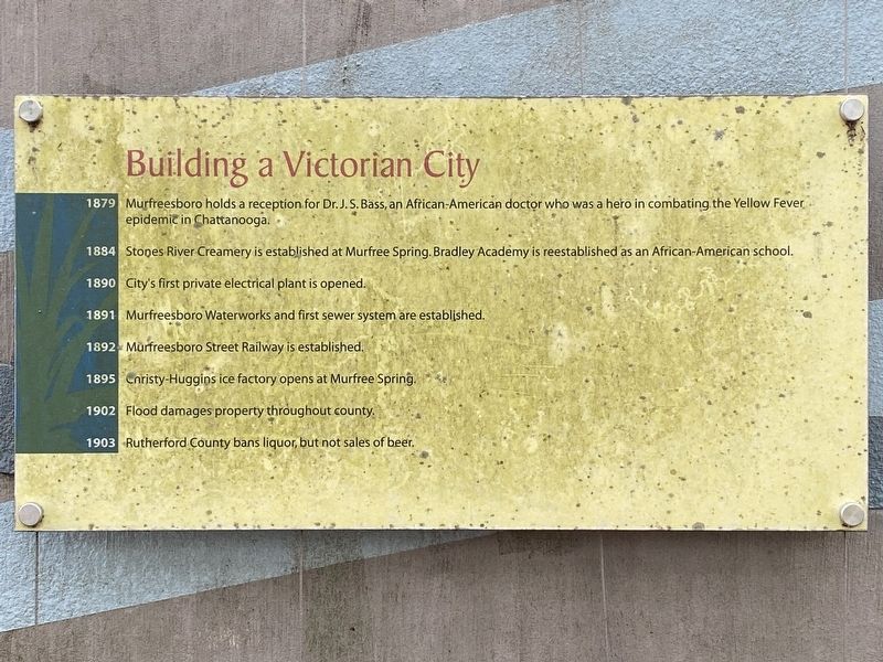
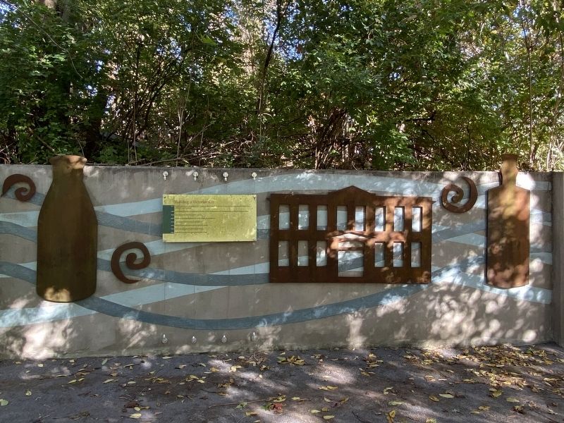
Building a Victorian City
Photographed by Darren Jefferson Clay, October 15, 2022
1. Building a Victorian City Marker
1879 Murfreesboro holds a reception for Dr. J.S. Bass, an African-American doctor who was a hero in combating the Yellow Fever epidemic in Chattanooga.
1884 Stones River Creamery is established at Murfree Spring. Bradley Academy is reestablished as an African-American school.
1890 City's first private electrical plant is opened.
1891 Murfreesboro Waterworks and first sewer system are established.
1892 Murfreesboro Street Railway is established.
1895 Christy-Huggins ice factory opens at Murfree Spring.
1902 Flood damages property throughout county.
1903 Rutherford County bans liquor, but not sales of beer.
Topics. This historical marker is listed in these topic lists: African Americans • Disasters • Education • Industry & Commerce • Science & Medicine. A significant historical year for this entry is 1879.
Location. 35° 50.28′ N, 86° 23.222′ W. Marker is in Murfreesboro, Tennessee, in Rutherford County. It can be reached from the intersection of Bradyville Pike (U.S. 41) and Ash Street, on the right when traveling south. Touch for map. Marker is at or near this postal address: 510
this page online

Regionally, this marker is in Middle Tennessee and in Greater Nashville. It is also in the American South and specifically in the Upper South. Globally, it is in North America, the Western Hemisphere, the Western World, and the Anglosphere. Historically, it finds itself in what was once the territory of the Mississippian Culture, one of the Confederate States of America, and the Antebellum South.
Other nearby markers. At least 8 other markers are within walking distance of this marker: A Progressive City (here, next to this marker); The Occupied Town in War and Reconstruction (here, next to this marker); A More Healthy Community (a few steps from this marker); Into the Modern Era (a few steps from this marker); a different marker also named The Occupied Town in War and Reconstruction (a few steps from this marker); Antebellum Prosperity and Institutional Growth (a few steps from this marker); A Town Emerges on the Water's Edge (a few steps from this marker); Settlers Discover the Spring (a few steps from this marker). Touch for a list and map
Photographed by Darren Jefferson Clay, October 15, 2022
2. Building a Victorian City Marker
Credits. This page was last revised on October 21, 2022. It was originally submitted on October 16, 2022, by Darren Jefferson Clay of Duluth, Georgia. This page has been viewed 219 times since then and 20 times this year. Photos: 1, 2. submitted on October 19, 2022, by Darren Jefferson Clay of Duluth, Georgia. • Devry Becker Jones was the editor who published this page.
