Murfreesboro in Rutherford County, Tennessee — The American South (East South Central)
Murfree Spring

Photographed by Darren Jefferson Clay, October 15, 2022
1. Murfree Spring Marker
Holes in Geology
Beneath your feet is a vast system of caves and aquifers, formed in layers of limestone. From the surface, we see evidence of this karst landscape in sinkholes and springs.
The limestone, which varies in thickness and porosity, began to form about 500 million years ago, when Rutherford County was the floor of a vast se. Tiny, shelled creatures lived and died in these waters and their mineralized bodies accumulated on the sea floor. Over the next 69 million years, pressure changes, water fluctuations, and continuing sedimentations resulted in layers of varying limestone.
Four limestone layers are visible in Rutherford
Murfreesboro
Pierce
Ridley
Lebanon
Murfreesboro limestone - the bottom layer, acts as the floor of the aquifer. It is the oldest, most dense layer and is not very porous. Once water reaches this layer, it does not travel further downward. The top 3 layers are very porous and act like a sponge - drawing in and storing huge amounts of runoff and rainwater.
Springs are formed when the Murfreesboro limestone is exposed to the surface. At Murfree Spring, underground water
this page online
The Water's Path
What path might rainwater take as it seeps through sinkholes and the porous ground? Within the 6 mile drainage basin of Murfree Spring, a drop of water may take the following path.
Rain falls at Black Fox Spring where water in the aquifer is exposed to the surface.
From this spring, water flows for about 2 miles through a marsh and into the man-made impoundment, Todd's Lake.
At this point, the water flows back underground and continues tits journey through subterranean passageways.
During heavy rains, the underground water is forced upward, flooding local areas near the intersection of Bradyville Pike and Southeast Broad.
Water continues to flow underground beneath Southeast Broad.
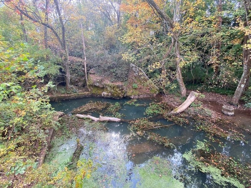
Water emerges at Murfree Spring and creates a wetland.
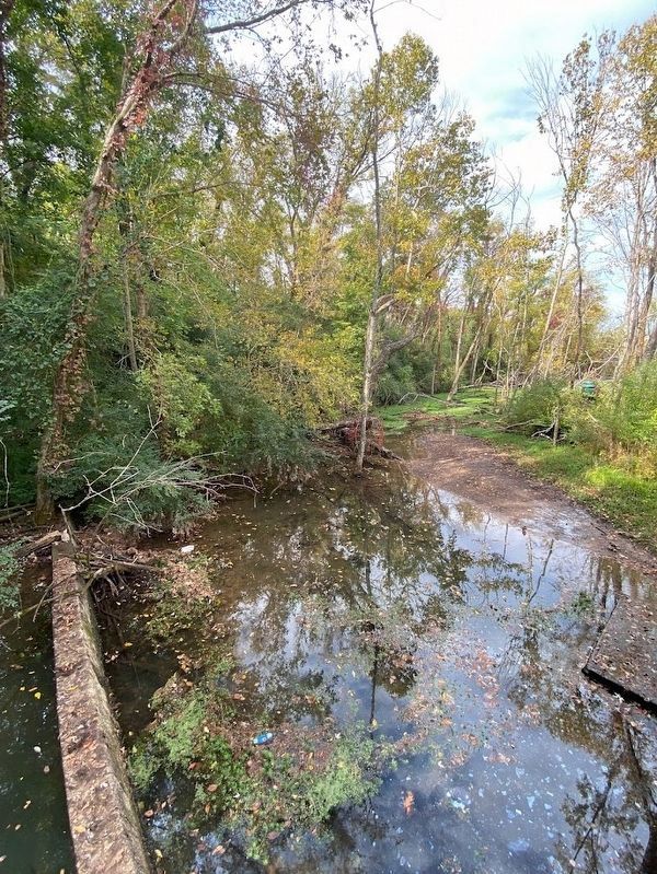
This water, now visible at the surface, becomes Town Creek, which flows through Cannonsburgh and empties into Lyle Creek, eventually traveling to the Stones River.
Murfree Spring Facts
•For many years, Murfree Spring was the primary source of water for the City of Murfreesboro.
•The last elk in

Photographed by Darren Jefferson Clay, October 15, 2022
2. Murfree Spring Marker
•Tens of thousands of years ago, saber-toothed tigers, mastodons and buffaloes roamed Middle Tennessee, using springs as sources for fresh water and food.
•Murfree Spring emerges from beneath a 70-foot long cave.
Topics. This historical marker is listed in this topic list: Natural Features.
Location. 35° 50.267′ N, 86° 23.22′ W. Marker is in Murfreesboro, Tennessee, in Rutherford County. It can be reached from Southeast Broad Street. Touch for map. Marker is at or near this postal address: 534 SE Broad St, Murfreesboro TN 37130, United States of America. Touch for directions.

Regionally, this marker is in Middle Tennessee and in Greater Nashville. It is also in the American South and specifically in the Upper South. Globally, it is in North America, the Western Hemisphere, the Western World, and the Anglosphere. Historically, it finds itself in what was once the territory of the Mississippian Culture, one of the Confederate States of America, and the Antebellum South.
Other nearby markers. At least 8

Photographed by Darren Jefferson Clay, October 19, 2022
3. Murfree Spring Marker
Photographed by Darren Jefferson Clay, October 15, 2022
4. Murfree Spring
Photographed by Darren Jefferson Clay, October 15, 2022
5. Murfree Spring
Credits. This page was last revised on January 28, 2023. It was originally submitted on October 16, 2022, by Darren Jefferson Clay of Duluth, Georgia. This page has been viewed 791 times since then and 72 times this year. Photos: 1, 2, 3. submitted on October 19, 2022, by Darren Jefferson Clay of Duluth, Georgia. 4, 5. submitted on January 27, 2023, by Darren Jefferson Clay of Duluth, Georgia. • Mark Hilton was the editor who published this page.
