Near Empire in Leelanau County, Michigan — The American Midwest (Great Lakes)
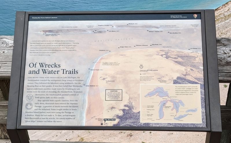
Of Wrecks and Water Trails
— Sleeping Bear Dunes National Lakeshore —
…scarcely had we gotten out into Lake Michigan than we were beset by a horrible tempest and in an instant out rudder was broken to pieces…Not being able to control our course, we were during the night the toy of gigantic waves which pushed us toward the immense bank of sand called "Sleeping Bear." …Nowhere have I been witness to the unbridling of the elements comparable to that which this sea of fresh water presented.
French explorer Comte De Castelnau, 1839
Long before there were freighters on Lake Michigan, the Anishinaabek traveled the mishingamaa (large water) in birchbark canoes. They followed the lakeshore using landmarks like the Sleeping Bear as their guides. It was their belief that Mishipeshu, a great underwater panther, made waves by thrashing its tail; storms were the work of Animikiig, the thunderbirds. To protect themselves, the Anishinaabek painted symbols of both spirits (left) on their canoes.
Ship captains were equally cautious. Since the early 1800s, thousands have entered the Manitou Passage—a gauntlet of shoals between the islands and the mainland. Some sought shelter in South Manitou Island harbor; most were using the Passage as a shortcut. Many did not make it. To date, archaeologists have discovered at least 60 wrecks. An untold number of "ghost ships" remain lost below the waves.
[Caption:]
The Anishinaabek used a network of "water trails" (orange) for trade and seasonal migrations. European settlers adapted these routes for cargo and passenger travel.
Erected by National Park Service, U.S. Department of the Interior.
Topics and series. This historical marker is listed in these topic lists: Native Americans • Waterways & Vessels. In addition, it is included in the Lost at Sea series list. A significant historical year for this entry is 1839.
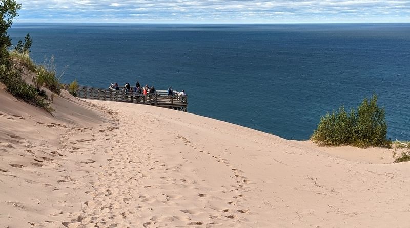
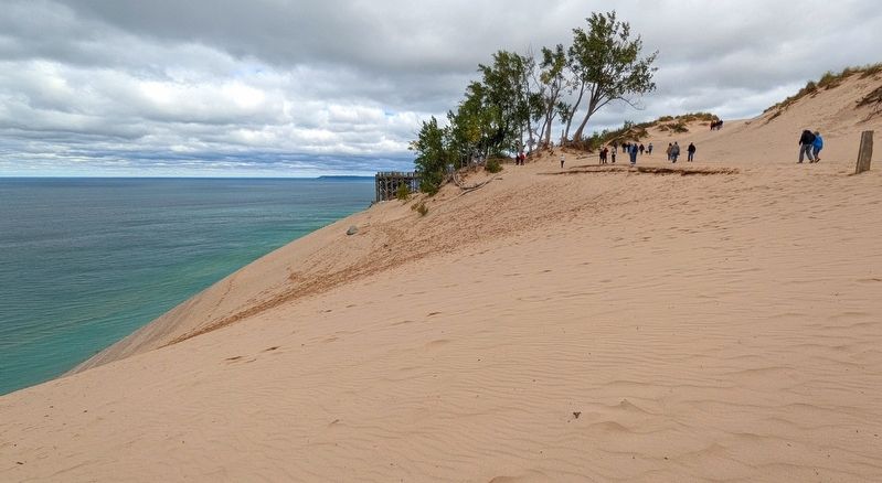
Location. 44° 51.506′ N, 86° 4.023′ W. Marker is near Empire, Michigan, in Leelanau County. Marker can be reached from Pierce Stocking Scenic Drive, 2.1 miles west of South Dune Highway, on the right when traveling south. Marker is a wayside exhibit on the viewing platform at Lake Michigan Overlook, which is stop #9 on Pierce Stocking Scenic Drive. Touch for map. Marker is in this post office area: Empire MI 49630, United States of America. Touch for directions.
Other nearby markers. At least 8 other markers are within 11 miles of this marker, measured as the crow flies. The Legend of the Manitou Islands and the Sleeping Bear (here, next to this marker); Mother Bear Is Migrating (here, next to this marker); Pierce Stocking (approx. 1.4 miles away); Sand and Ice (approx. 2 miles
away); The Moving Dune (approx. 2.1 miles away); Empire Methodist Church (approx. 3.3 miles away); Sleeping Bear Point Life Saving Station. (approx. 3.8 miles away); North Unity (approx. 10½ miles away). Touch for a list and map of all markers in Empire.
Credits. This page was last revised on October 23, 2022. It was originally submitted on October 16, 2022. This page has been viewed 63 times since then and 13 times this year. Photos: 1, 2, 3. submitted on October 16, 2022. • Devry Becker Jones was the editor who published this page.


