Brewer in Penobscot County, Maine — The American Northeast (New England)
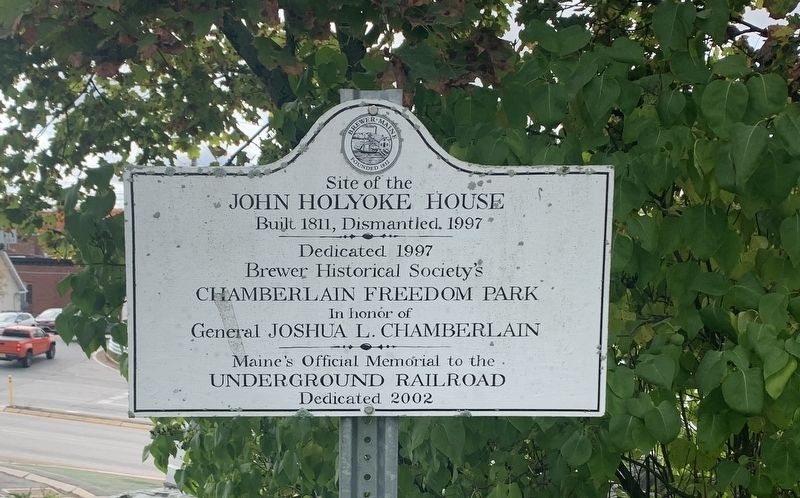
John Holyoke House
John Holyoke House
Built 1811, Dismantled 1997
Dedicated 1997
Brewer Historical Society's
Chamberlain Freedom Park
In honor of
General Joshua L. Chamberlain
Maine's Official Memorial to the
Underground Railroad
Dedicated 2002
Erected by Brewer Historical Society.
Topics. This historical marker is listed in these topic lists: Abolition & Underground RR • War, US Civil. A significant historical year for this entry is 1811.
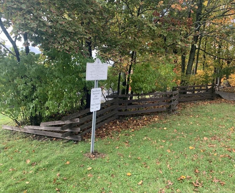
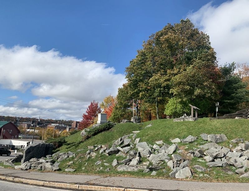
Location. 44° 47.846′ N, 68° 45.671′ W. Marker is in Brewer, Maine, in Penobscot County. Marker can be reached from the intersection of North Main Street (Maine Route 178) and State Street (Maine Route 15B), on the right when traveling south. Marker is accessible from the gas station adjacent to park on Main Street. The marker is in the upper portion of the park away from the Penobscot River. Touch for map. Marker is at or near this postal address: 12 State St, Brewer ME 04412, United States of America. Touch for directions.
Other nearby markers. At least 8 other markers are within walking distance of this marker. Chamberlain - Freedom Park (here, next to this marker); Samuel de Champlain (approx. half a mile away); A Place of Meeting (approx. 0.6 miles away); Spanish Bronze Cannon (approx. 0.6 miles away); Saltonstall's Naval Fleet Gun (approx. 0.6 miles away); Hannibal Hamlin (approx. 0.6 miles away); Hersey Memorial Building (Old Bangor City Hall) Bell (approx. 0.6 miles away); Bangor Victory Platoon (approx. 0.6 miles away).
Credits. This page was last revised on October 17, 2022. It was originally submitted on October 17, 2022, by Steve Stoessel of Niskayuna, New York. This page has been viewed 209 times since then and 62 times this year. Photos: 1, 2, 3. submitted on October 17, 2022, by Steve Stoessel of Niskayuna, New York. • Bernard Fisher was the editor who published this page.


