Mill Hill in Trenton in Mercer County, New Jersey — The American Northeast (Mid-Atlantic)
Assunpink Creek
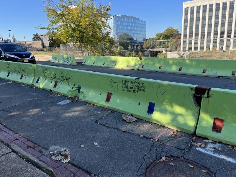
Topics. This historical marker is listed in these topic lists: War, US Revolutionary • Waterways & Vessels. A significant historical date for this entry is January 2, 1777.
Location. 40° 13.097′ N, 74° 45.846′ W. Marker is in Trenton, New Jersey, in Mercer County. It is in Mill Hill. It is on South Broad Street (U.S. 206) south of East Lafayette Street, on the right when traveling north. Touch for map. Marker is at or near this postal address: 100 S Broad St, Trenton NJ 08608, United States of America. Touch for directions.

Regionally, this marker is in Central Jersey and in Greater Princeton. It is also in the American Northeast and in the Mid-Atlantic. Globally, it is in North America, the Western Hemisphere, the Western World, and the Anglosphere. Historically, it finds itself in what was once New Netherland and also one of the original Thirteen Colonies.
Other nearby markers. At least 8 other markers are within walking distance of this marker: A different marker also named Assunpink Creek (a few steps from this marker); a different marker also named Assunpink Creek
this page online
Credits. This page was last revised on February 16, 2023. It was originally submitted on October 17, 2022, by Devry Becker Jones of Washington, District of Columbia. This page has been viewed 404 times since then and 38 times this year. Photo 1. submitted on October 17, 2022, by Devry Becker Jones of Washington, District of Columbia.
