Rock Creek Park in Northwest Washington in Washington, District of Columbia — The American Northeast (Mid-Atlantic)
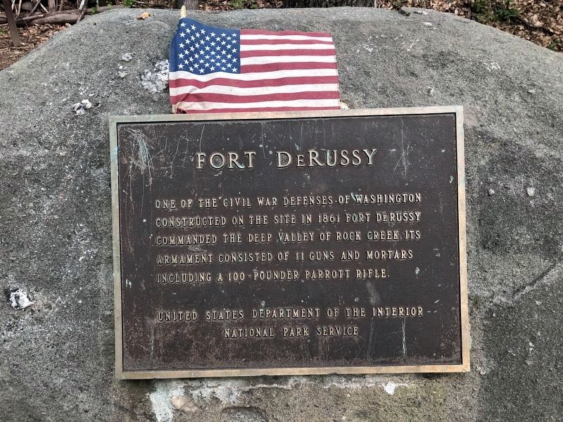
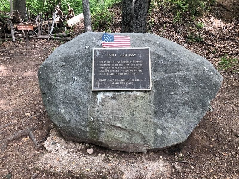
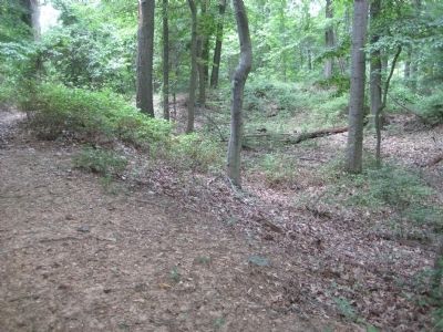
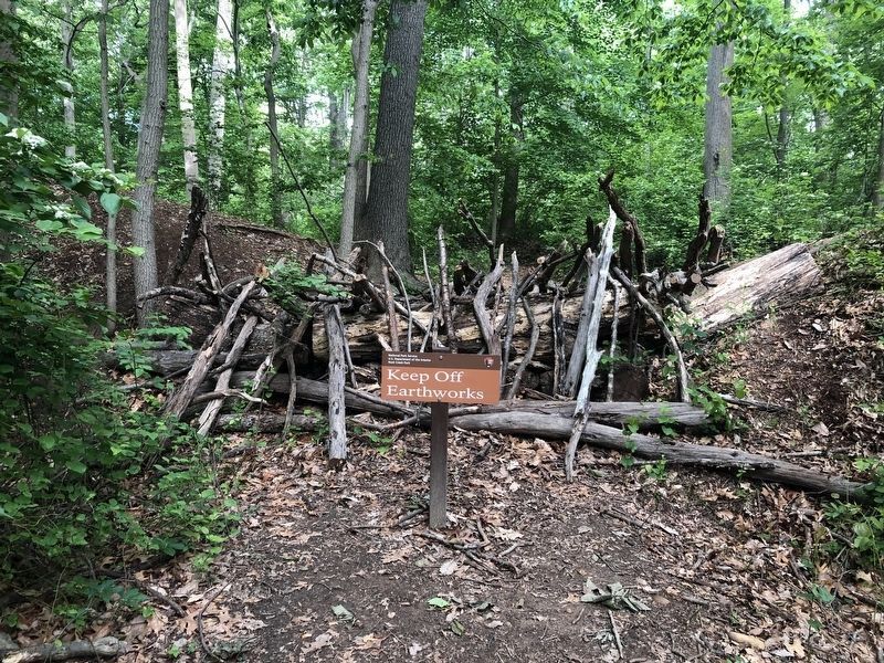
Fort DeRussy
Erected by National Park Service, U.S. Department of the Interior.
Topics and series. This historical marker is listed in these topic lists: Forts and Castles • War, US Civil. In addition, it is included in the Defenses of Washington series list. A significant historical year for this entry is 1861.
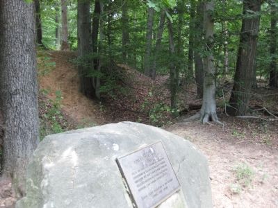
Location. 38° 57.782′ N, 77° 3.041′ W. Marker is in Northwest Washington in Washington, District of Columbia. It is in Rock Creek Park. Marker can be reached from the intersection of Oregon Avenue Northwest and Military Road Northwest, on the right when traveling north. Marker is located about 200 yards northeast of the intersection and is accessed by a trail through the woods. Touch for map. Marker is in this post office area: Washington DC 20015, United States of America. Touch for directions.
Other nearby markers. At least 8 other markers are within walking distance of this marker. A different marker also named Fort DeRussy (here, next to this marker); Fort De Russy (about 600 feet away, measured in a direct line); Herring Highway (approx. 0.2 miles away); A Garden Protecting Rock Creek (approx. ¼ mile away); Tupelo Tree (approx. ¼ mile away); a different marker also named Herring Highway (approx. ¾ mile away); An African American Enclave (approx. 0.9 miles away); Early Entrepreneurs (approx. 0.9 miles away). Touch for a list and map of all markers in Northwest Washington.
Credits. This page was last revised on January 30, 2023. It was originally submitted on July 14, 2009, by F. Robby of Baltimore, Maryland. This page has been viewed 2,166 times since then and 15 times this year. Photos: 1, 2. submitted on May 26, 2020, by Devry Becker Jones of Washington, District of Columbia. 3, 4, 5. submitted on July 14, 2009, by F. Robby of Baltimore, Maryland. 6. submitted on May 26, 2020, by Devry Becker Jones of Washington, District of Columbia.
