Sutton in Braxton County, West Virginia — The American South (Appalachia)
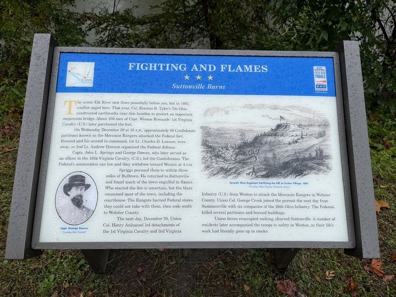
Fighting and Flames
Suttonville Burns
Photographed by Craig Swain, October 1, 2022
1. Fighting and Flames Marker
On Wednesday December 29 at 10 A.M., approximately 80 Confederate partisans known as the Moccasin Rangers attacked the Federal fort. Rowand and his second in command, 1st Lt. Charles D. Lawson, were away, so 2nd Lt. Andrew Dawson organized the Federal defense.
Capts. John L. Springs and George Downs, who later served as an officer in the 19th Virginia Cavalry, (C.S.), led the Confederates. The Federal's ammunition ran low and they withdrew toward Weston at 4 P.M.
Spriggs pursued them to within three miles of Bulltown. he returned to Suttonville and found much of the town engulfed in flames. Who started the fire is uncertain, but the blaze consumed most of the town, including the courthouse. The Rangers burned Federal stores they could not take with them, then rode south to Webster County.
The next
this page online
Union forces reoccupied reeking, charred Suttonville. A number of residents later accompanied the troops to safety in Weston, as their life's work had literally gone up in smoke.
Erected by West Virginia Civil War Trails.
Topics and series. This historical marker is listed in this topic list: War, US Civil. In addition, it is included in the West Virginia Civil War Trails series list. A significant historical date for this entry is December 29, 1861.
Location. 38° 39.989′ N, 80° 42.925′ W. Marker is in Sutton, West Virginia, in Braxton County. It is on Main Street (County Highway 19/40), on the right when traveling east. Located at the west side welcome sign for Sutton. There is a pull off for visitors to the marker. Touch for map. Marker is in this post office area: Sutton WV 26601, United
Photographed by Craig Swain, October 1, 2022
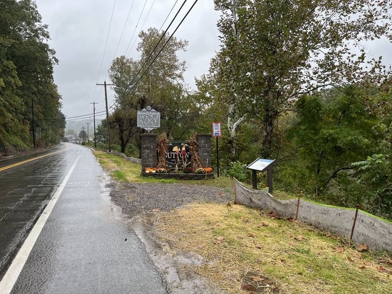
2. Markers at the West Entrance to Sutton

Regionally, this marker is in North Central West Virginia. It is also in the American South, specifically in the Upper South, in Appalachia, and specifically in Southern Appalachia. Globally, it is in North America, the Western Hemisphere, the Western World, and the Anglosphere. Historically, it finds itself in what was once the territory of the Mississippian Culture.
Other nearby markers. At least 8 other markers are within 4 miles of this marker, measured as the crow flies: Burning of Sutton (here, next to this marker); How Did Braxton County Get Its Name? (approx. 0.4 miles away); Suttonville (approx. 0.4 miles away); World War 1917–18 Memorial (approx. 0.4 miles away); Braxton County Jail (approx. 0.4 miles away); Brigadier General James Kemp McLaughlin (approx. 0.4 miles away); Revolutionary War Monument (approx. 0.4 miles away); Honor Roll (approx. 3.2 miles away). Touch for a list and map of all markers in Sutton.
Other markers no longer nearby. The Burning of Suttonville (was a few steps from this marker but has been replaced with another marker now near it); The War and Suttonville
Photographed by Bradley Owen, August 7, 2025
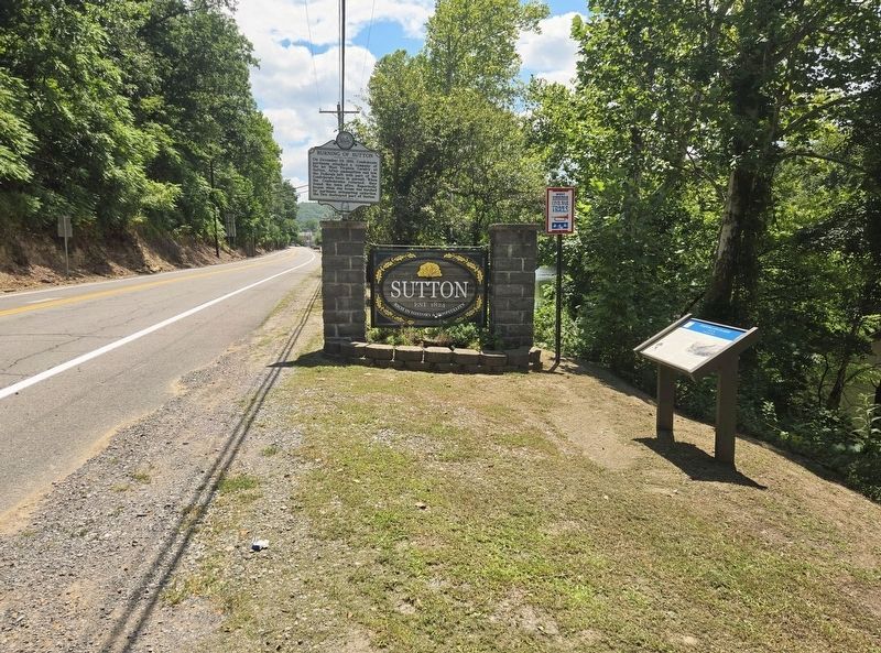
3. Fighting and Flames Marker
View is looking east.
Credits. This page was last revised on August 9, 2025. It was originally submitted on October 18, 2022, by Craig Swain of Leesburg, Virginia. This page has been viewed 510 times since then and 29 times this year. Photos: 1, 2. submitted on October 18, 2022, by Craig Swain of Leesburg, Virginia. 3. submitted on August 9, 2025, by Bradley Owen of Morgantown, West Virginia.
