Near Chana in Ogle County, Illinois — The American Midwest (Great Lakes)
Mob Trial and Execution
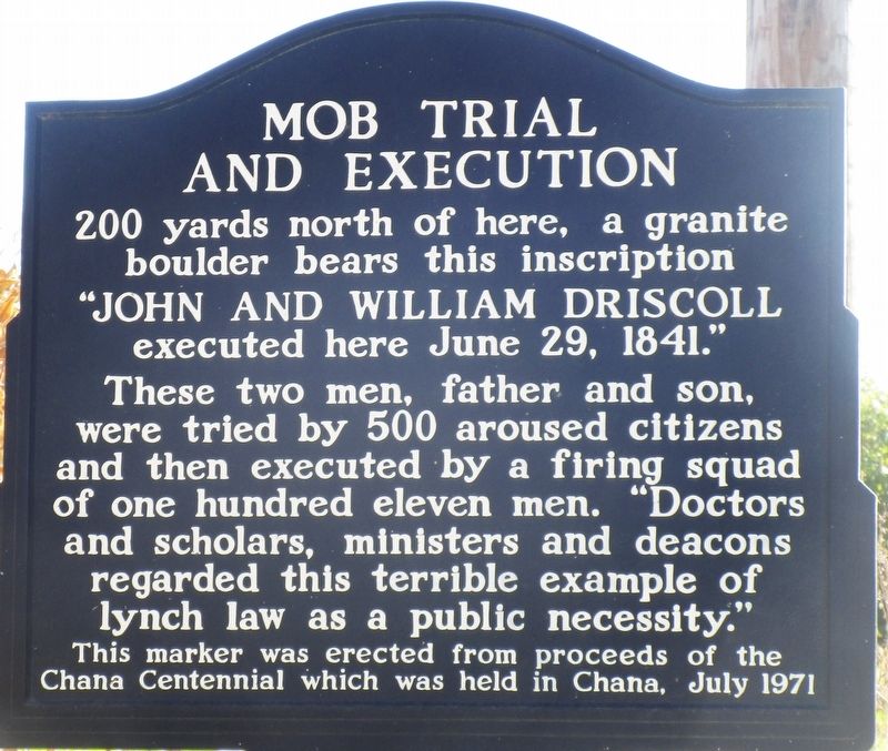
Photographed by Rev. Ronald Irick, October 7, 2022
1. Mob Trial and Execution Marker
Erected 1971 by Ogle County Historical Society.
Topics. This historical marker is listed in this topic list: Law Enforcement. A significant historical date for this entry is June 29, 1841.
Location. 41° 57.754′ N, 89° 16.384′ W. Marker is near Chana, Illinois, in Ogle County. It is on South Prairie Road 0.9 miles west of East Hogan Road, on the right when traveling west. Touch for map. Marker is at or near this postal address: 3410 S Prairie Rd, Oregon IL 61061, United States of America. Touch for directions.

Regionally, this marker is in the American Midwest and in the Corn Belt. Globally, it is in North America, the Western Hemisphere, the Western World, and the Anglosphere. Historically, it finds itself in what was once the Viceroyalty of New France, the
this page online
Other nearby markers. At least 8 other markers are within 5 miles of this marker, measured as the crow flies: Site of Stephenson’s Grist Mill (about 400 feet away, measured in a direct line); Driscoll Execution (about 500 feet away); Aikens Saw Mill (approx. one mile away); Morgan Grist Mill (approx. 2.9 miles away); The Brick Road (approx. 4.1 miles away); Gross Saw Mill (approx. 4.2 miles away); Captain Joseph Ogle (approx. 4.7 miles away); Fallen Soldiers Memorial (approx. 4.7 miles away). Touch for a list and map of all markers in Chana.
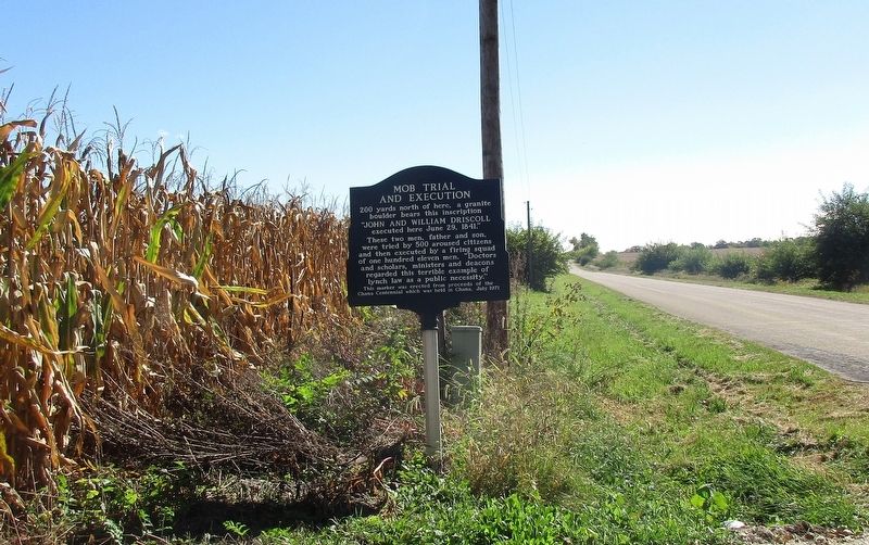
Photographed by Rev. Ronald Irick, October 7, 2022
2. Mob Trial and Execution Marker
Credits. This page was last revised on October 23, 2022. It was originally submitted on October 19, 2022, by Rev. Ronald Irick of West Liberty, Ohio. This page has been viewed 1,249 times since then and 205 times this year. Photos: 1, 2. submitted on October 19, 2022, by Rev. Ronald Irick of West Liberty, Ohio. • Devry Becker Jones was the editor who published this page.
