Edisto Island in Colleton County, South Carolina — The American South (South Atlantic)
Markers in the Woods
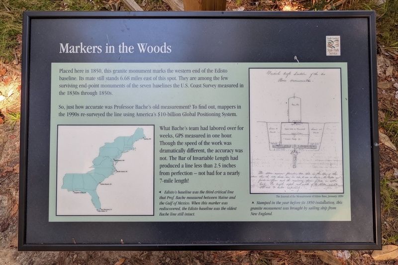
So, just how accurate was Professor Bache's old measurement? To find out, mappers in the 1990s re-surveyed the line using America's $10-billion Global Positioning System.
What Bache's team had labored over for weeks, GPS measured in one hour. Though the speed of the work was dramatically different, the accuracy was not. The Bar of Invariable Length had produced a line less than 2.5 inches from perfection — not bad for a nearly 7-mile length!
(captions)
Edisto's baseline was the third critical line that Prof. Bache measured between Maine and the Gulf of Mexico. When this marker was rediscovered, the Edisto baseline was the oldest Bache line still intact.
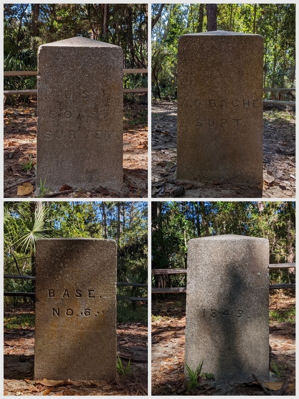
Stamped in the before its 1850 installation, this granite monument was brought by sailing ship from New England. The Journal of Measurement of the Edisto Base, January 1850
Erected by South Carolina State Park Service.
Topics. This historical marker is listed in these topic lists: Exploration • Science & Medicine. A significant historical year for this entry is 1807.
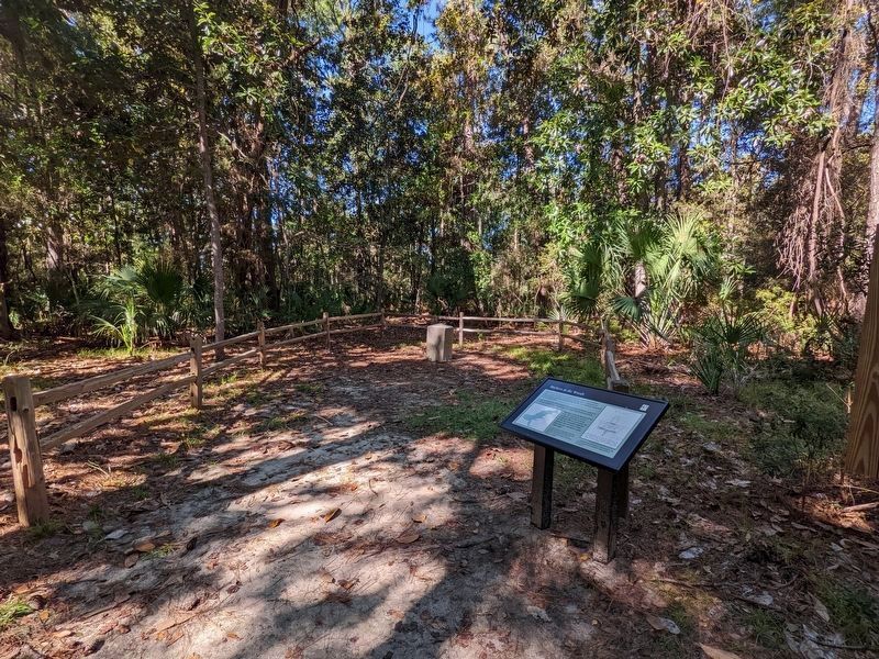
Location. 32° 30.478′ N, 80° 19.552′ W. Marker is on Edisto Island, South Carolina, in Colleton County. Marker is on Oyster Row Lane, half a mile south of Palmetto Road, on the right when traveling south. Located at the Edisto Environmental Learning Center. Touch for map. Marker is at or near this postal address: Oyster Row Ln, Edisto Island SC 29438, United States of America. Touch for directions.
Other nearby markers. At least 8 other markers are within 12 miles of this marker, measured as the crow flies. The Struggle for a Long Straight Line (within shouting distance of this marker); How to Measure the World, and Why (about 300 feet away, measured in a direct line); Bache's Bar of Invariable Length (about 600 feet away); A Life-Saving Light Station (approx. 11.2 miles away); A Guiding Light (approx. 11.2 miles away); Fuel for the Flame (approx. 11.2 miles away); Island Delivery Service (approx. 11.2 miles away); Harvesting Drinking Water (approx. 11.3 miles away). Touch for a list and map of all markers in Edisto Island.
Also see . . . Edisto Environmental Learning Center. (Submitted on October 20, 2022.)
Credits. This page was last revised on October 20, 2022. It was originally submitted on October 20, 2022, by Bernard Fisher of Richmond, Virginia. This page has been viewed 250 times since then and 44 times this year. Photos: 1, 2, 3, 4. submitted on October 20, 2022, by Bernard Fisher of Richmond, Virginia.


