Pocahontas in Randolph County, Arkansas — The American South (West South Central)
Baltz Lake Fishing Pier
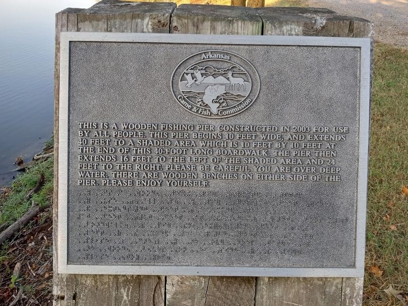
Photographed by Jason Voigt, October 12, 2022
1. Baltz Lake Fishing Pier Marker
Erected by Arkansas Game & Fish Commission.
Topics. This historical marker is listed in this topic list: Parks & Recreational Areas. A significant historical year for this entry is 2003.
Location. 36° 16.4′ N, 90° 57.539′ W. Marker is in Pocahontas, Arkansas, in Randolph County. It is on Baltz Lake Dam Road west of U.S. 67, on the left when traveling north. Touch for map. Marker is at or near this postal address: 1359 US-67, Pocahontas AR 72455, United States of America. Touch for directions.

Regionally, this marker is in the American South, specifically in the Upper South, and in the Ozarks. Globally, it is in North America, the Western Hemisphere, the Western World, and the Anglosphere. Historically,
this page online
Other nearby markers. At least 8 other markers are within one mile of this marker, measured as the crow flies: Birthplace Of A Legend (about 300 feet away, measured in a direct line); Radio Station KPOC (approx. 0.4 miles away); Birthplace of Billy Lee Riley (approx. ¾ mile away); Wear Kibler Schoonover (approx. 0.9 miles away); American Civil War Monument (approx. one mile away); Spinnenweber and Peters Equine Store and Merchantile (approx. one mile away); Site of the St. Charles Hotel (approx. one mile away); Capture of Missouri "Swamp Fox" (approx. one mile away). Touch for a list and map of all markers in Pocahontas.
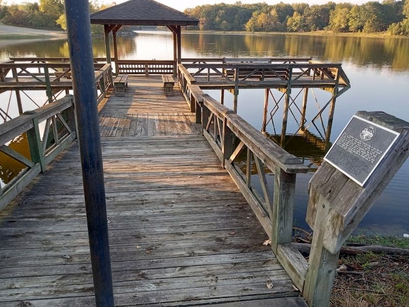
Photographed by Jason Voigt, October 12, 2022
2. Baltz Lake Fishing Pier Marker
Credits. This page was last revised on October 22, 2022. It was originally submitted on October 22, 2022, by Jason Voigt of Glen Carbon, Illinois. This page has been viewed 300 times since then and 41 times this year. Photos: 1, 2. submitted on October 22, 2022, by Jason Voigt of Glen Carbon, Illinois.
