Santa Cruz in Santa Cruz County, California — The American West (Pacific Coastal)
This Land
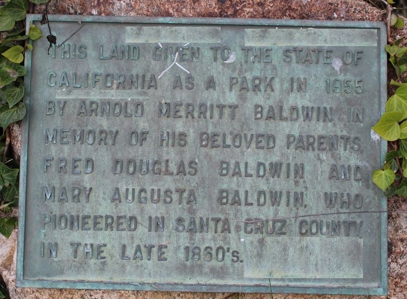
Photographed by Joseph Alvarado, October 21, 2022
1. This Land Marker
Topics. This historical marker is listed in these topic lists: Charity & Public Work • Parks & Recreational Areas • Settlements & Settlers. A significant historical year for this entry is 1955.
Location. 36° 57.776′ N, 121° 59.834′ W. Marker is in Santa Cruz, California, in Santa Cruz County. It is at the intersection of 9th Avenue and East Cliff Drive, on the right when traveling north on 9th Avenue. The plaque is mounted to a boulder near the banks of the Schwan Lake. Touch for map. Marker is in this post office area: Santa Cruz CA 95062, United States of America. Touch for directions.

Regionally, this marker is on the Central Coast and specifically on the Coast Ranges. It is also on the American Pacific Coast. Globally, it is in North America, on the Ring of Fire, on the Pacific Rim, in the Western Hemisphere, in the Western World, and in the Anglosphere. Historically, it finds
this page online
Other nearby markers. At least 8 other markers are within walking distance of this marker: Schwan Lake (a few steps from this marker); Whitmore Family Summer House (about 300 feet away, measured in a direct line); At The Signe Of Three Ducks (approx. 0.2 miles away); The Sevy Beach House (approx. 0.2 miles away); Lincoln's Windmill (approx. ¼ mile away); Santa Cruz Museum of Natural History (approx. 0.7 miles away); Prairie Style Bungalow (approx. 0.8 miles away); The Sargent Octagon (approx. 0.8 miles away). Touch for a list and map of all markers in Santa Cruz.
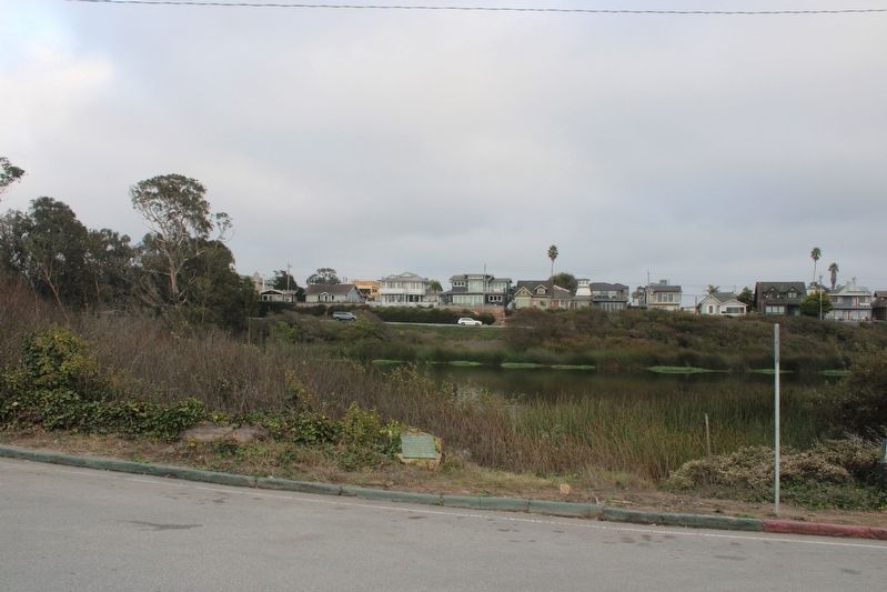
Photographed by Joseph Alvarado, October 21, 2022
2. This Land Marker
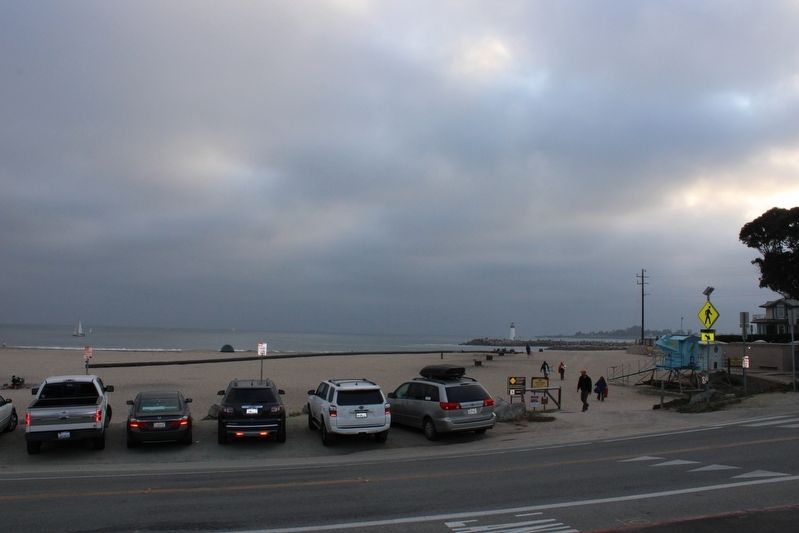
Photographed by Joseph Alvarado, October 21, 2022
3. View of Twin Lakes Beach From the Marker
Credits. This page was last revised on October 22, 2022. It was originally submitted on October 22, 2022, by Joseph Alvarado of Livermore, California. This page has been viewed 246 times since then and 17 times this year. Photos: 1, 2, 3. submitted on October 22, 2022, by Joseph Alvarado of Livermore, California.
