Sioux Falls in Minnehaha County, South Dakota — The American Midwest (Upper Plains)
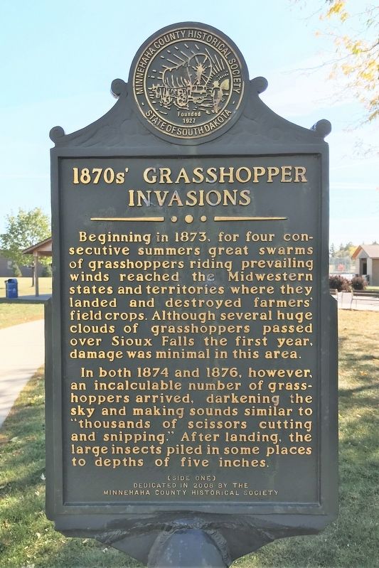
1870s' Grasshopper Invasions
In both 1874 and 1876, however, an incalculable number of grasshoppers arrived, darkening the sky and making sounds similar to "thousands of scissors cutting and snipping." After landing, the large insects piled in some places to depths of five inches.
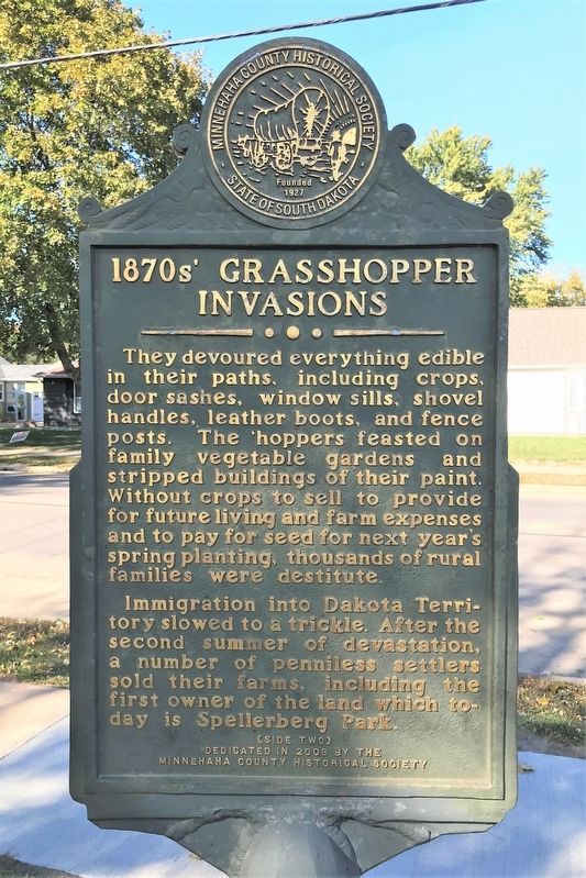
They devoured everything edible in their paths, including crops, door sashes, window sills, shovel handles, leather boots, and fence posts. The 'hoppers feasted on family vegetable gardens and stripped buildings of their paint. Without crops to sell to provide for future living and farm expenses and to pay for seed for next year's spring planting, thousands of rural families were destitute.
Immigration into Dakota Territory slowed to a trickle. After the second summer of devastation, a number of penniless settlers sold their farms, including the first owner of the land which today is Spellerberg Park.
Erected 2008 by the Minnehaha County Historical Society.
Topics. This historical marker is listed in these topic lists: Disasters • Environment. A significant historical year for this entry is 1873.
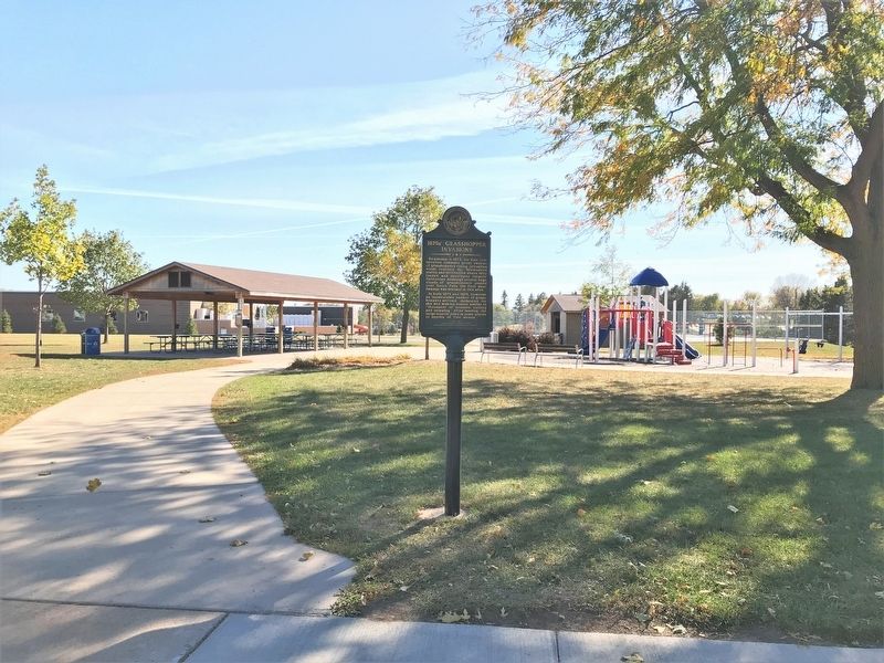
Location. 43° 31.978′ N, 96° 45.186′ W. Marker is in Sioux Falls, South Dakota, in Minnehaha County. Marker is on West 22nd Street, 0.1 miles west of South Western Avenue, on the right when traveling east. Located on the north side of Spellerberg Park in Sioux Falls. Touch for map. Marker is at or near this postal address: 1601 S Western Ave, Sioux Falls SD 57105, United States of America. Touch for directions.
Other nearby markers. At least 8 other markers are within walking distance of this marker. Department of Veterans Affairs (about 500 feet away, measured in a direct line); Columbus College (approx. 0.2 miles away); Children's Care Hospital & School (approx. 0.3 miles away); Sherman Park Indian Burial Mounds (approx. half a mile away); Linear Mound (approx. half a mile away); Ceremonial Dance Circle (approx. half a mile away); Presentation Children's Home (approx. half a mile away); Mound Builders Village (approx. half a mile away). Touch for a list and map of all markers in Sioux Falls.
Credits. This page was last revised on October 26, 2022. It was originally submitted on October 25, 2022. This page has been viewed 142 times since then and 36 times this year. Photos: 1, 2, 3, 4. submitted on October 25, 2022.


