Near Perryville in Perry County, Missouri — The American Midwest (Upper Plains)
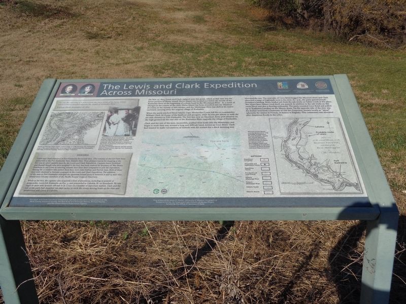
The Lewis and Clark Expedition Across Missouri
Inscription.
On Nov. 27, 1803, Lewis and Clark camped near this point, which at that time was the lower portion of Horse Island. Horse Island was located just below the mouth of the Kaskaskia River at the beginning of a sharp bend in the Mississippi River. As a result of changes in the course of the river, Horse Island has been absorbed into the Missouri shoreline in the vicinity of this marker, and the Mississippi River has shifted its course eastward, carrying away the original village of Kaskaskia.
When the party reached Horse Island, Capt. Meriwether Lewis left his co-commander, William Clark, in charge of the keelboat and pirogues, while he was put ashore to walk the six-mile distance to Fort Kaskaskia. The fort was now an American Army post situated on the high ground on the east side of the Kaskaskia River opposite the village of Kaskaskia.
Clark and the rest of the men, meanwhile, pushed their boats into the Mississippi and begin to work their way around a long and difficult bend, known as Coco Bend. Clark had wanted to make calculations of latitude with his sextant but a thick morning mist obscured the sun. The west side of the Coco Bend hugged the Missouri shore and Clark observed a range of highlands next to the river. At 1 p.m., the party passed Joseph Donahoe's landing. Boats loaded salt from the salt works on Saline Creek at this place. Two hours later, Saline Creek itself was passed. In addition to the salt works on this creek, there was also a thriving settlement. The party rounded Coco Bend and pulled up to Kaskaskia Landing on the Illinois shore. On the opposite side of the river was the former west bank community of Old Ste. Genevieve, known locally as "misar" (phonetic for misere in French, or misery in English). This community was relocated after disastrous floods in the 1780s.
(side quote:)
"Set out this morning of 8 oClock from the lower point of the horse Island, which Island is Situated opposite the mouth of Kaskaskia River…"
William Clark, November 28, 1803
Kaskaskia
Lewis and Clark remained at Fort Kaskaskia for several days. (The remains of this fort have been preserved as the Fort Kaskaskia State Historic Site). Their primary reason for stopping at the fort was to select suitable men for the Lewis and Clark Expedition. Captains Amos Stoddard and Russell Bissell, who were assigned to the fort, had been ordered by Secretary of War Henry Dearborn to aid Lewis in selecting suitable men from their companies to join the expedition. Among the 12 soldiers who joined them here were John Ordway and Patrick Gass. Both of these men were destined to become sergeants in the Lewis and Clark Expedition. The addition of the
men at Fort Kaskaskia enlarged the upstream bound party to between 21 and 23 men who would soon become members of the Pacific-bound Corps of Discovery.
While at the fort, the captains also acquired a store of provisions, including 75 pounds of gunpowder. Lewis left Kaskaskia on Dec. 5, and proceeded to Cahokia, Ill. on horseback. He was eager to meet with Spanish officials in St. Louis on a number of important matters. Clark and the rest of the party had departed two days earlier to work the slower moving boats up the river and rendezvous with Lewis at Cahokia.
(photo captions:)
·Detail of George Henri Victor Collot's map of 1796 showing the Kaskaskia area a few years before the American Army established Fort Kaskaskia.
·"Recruitment at Fort Kaskaskia," by artist Michael Haynes depicts Captain Meriwether Lewis recruiting Patrick Gass, a skilled carpenter who later became a sergeant in the Corps of Discovery and kept a journal of the expedition.
·This map of the Illinois country, produced in 1778 by British cartographer, Thomas Hutchins, depicts the country between Kaskaskia and Cahokia and shows the probable horseback route of Meriwether Lewis from Fort Kaskaskia to Cahokia.
Erected by Perry County Historical Society, Missouri Department of Natural Resources, National Park
Service, U.S. Department of Interior and Missouri Lewis and Clark Bicentennial Commission.
Topics and series. This historical marker is listed in these topic lists: Exploration • Settlements & Settlers • Waterways & Vessels. In addition, it is included in the Lewis & Clark Expedition series list. A significant historical date for this entry is November 28, 1803.
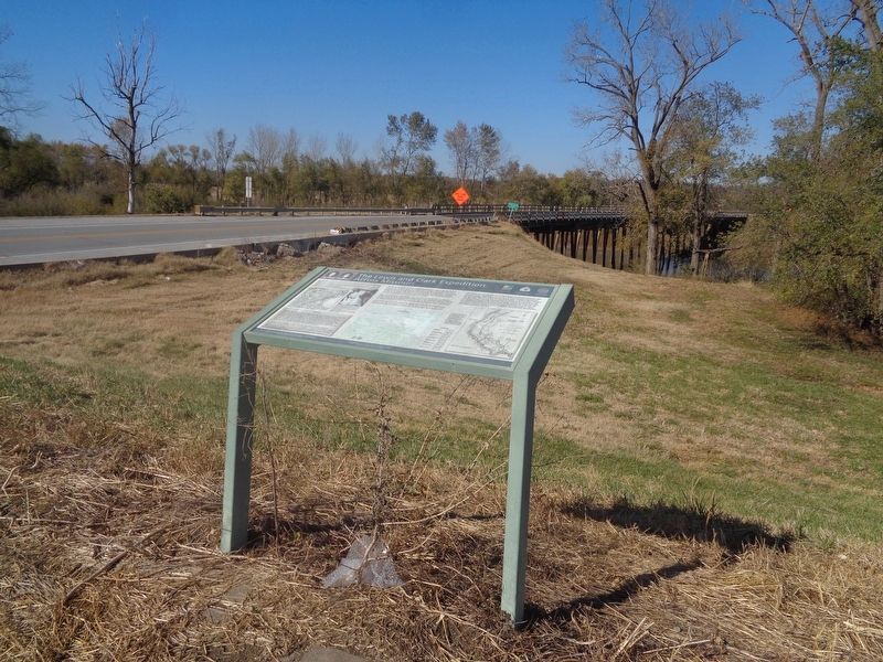
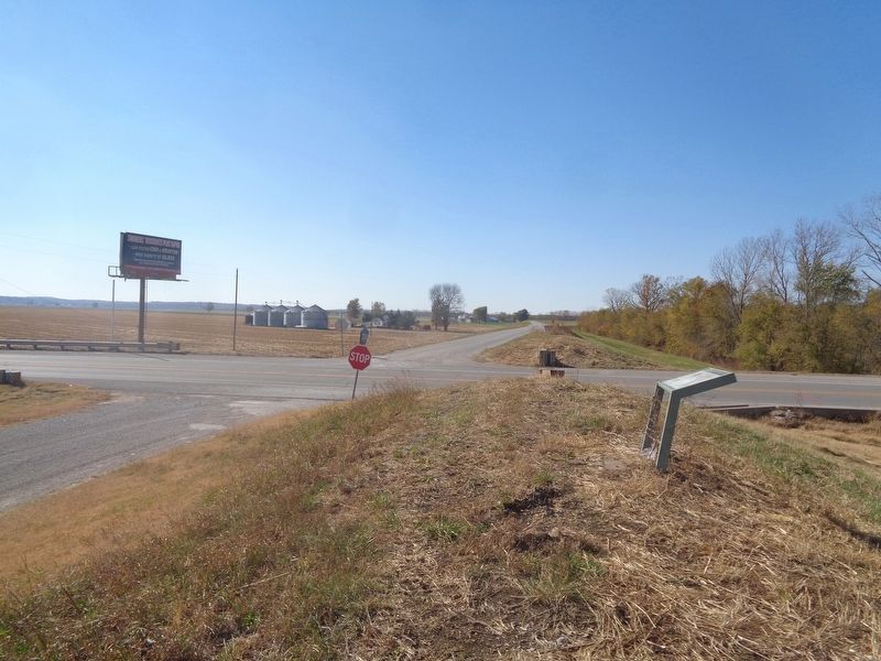
Location. 37° 53.71′ N, 89° 50.537′ W. Marker is near Perryville, Missouri, in Perry County. Marker is at the intersection of State Highway 51 and County Highway 238, on the right when traveling north on State Highway 51. Touch for map. Marker is at or near this postal address: 174 MO-51, Perryville MO 63775, United States of America. Touch for directions.
Other nearby markers. At least 8 other markers are within walking distance of this marker. Flood of 1993 (approx. 0.8 miles away in Illinois); The Chester Bridge (approx. 0.8 miles away in Illinois); Toar (approx. 0.8 miles away in Illinois); Lewis and Clark in Illinois (approx. 0.8 miles away in Illinois); The Railroad (approx. 0.8 miles away in Illinois); Chester, Randolph County, Illinois (approx. 0.8 miles away in Illinois); Port of Chester, Illinois Welcoming Mississippi River Travelers since 1829 (approx. 0.8 miles away in Illinois); The River Boats (approx. 0.8 miles away in Illinois).
Credits. This page was last revised on October 26, 2022. It was originally submitted on October 26, 2022, by Jason Voigt of Glen Carbon, Illinois. This page has been viewed 95 times since then and 17 times this year. Photos: 1, 2, 3. submitted on October 26, 2022, by Jason Voigt of Glen Carbon, Illinois.


