St. Clairsville in Belmont County, Ohio — The American Midwest (Great Lakes)
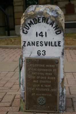
Milestone Marks where Extension of National Road…
Photographed by Christopher Busta-Peck, September 22, 2007
1. Front of milestone
where extension of
National Road
west of Ohio River
was started July 4, 1825.
Stone relocated 1964
Erected 1964 by St. Clairsville Rotary Club.
Topics and series. This historical marker is listed in this topic list: Roads & Vehicles. In addition, it is included in the Rotary International, and the The Historic National Road series lists. A significant historical date for this entry is July 4, 1863.
Location. Marker has been permanently removed. It was located near 40° 4.83′ N, 80° 54.043′ W. Marker was in St. Clairsville, Ohio, in Belmont County. It was at the intersection of East Main Street (U.S. 40) and South Market Street on East Main Street. Touch for map. Marker was at or near this postal address: 101 E Main St, Saint Clairsville OH 43950, United States of America.
We have been informed that this marker is no longer there and will not be replaced. This page is an archival view of what was.
Regionally, this marker was in Ohio’s High Valley. It was also in the American Midwest, in Appalachia, and specifically in Northern Appalachia. Globally, it was in North America, the Western Hemisphere, the Western World, and the Anglosphere. Historically, it found itself in what was once the Haudenosaunee (Iroquois) Confederacy, the territory of the Mississippian Culture, and the Northwest Territory.

Other nearby markers. At least 8 other markers are within walking distance of this location: The Historic National Road in Ohio (a few steps from this marker); Belmont County / Groundbreaking Site of the National Road in Ohio (a few steps from this marker); Belmont County Revolutionary War Veterans (a few steps from this marker); Medal of Honor Recipients of Belmont County (a few steps from this marker); Belmont County Veterans Memorial (within shouting distance of this marker); Governor Arthur St. Clair 1734-1818
this page online
Regarding Milestone Marks where Extension of National Road…. "National Road mile markers replaced": According to the Times Leader, this marker was replaced with a new version in 2023. The original marker is preserved at the Belmont County Heritage Museum next door to the courthouse.
Also see . . . National Road. Touring Ohio website entry (Submitted on September 10, 2024, by Larry Gertner of New York, New York.)
Photographed by Christopher Busta-Peck
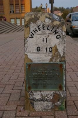
2. West face of milestone
The text reads "The carillon in the tower was given by Wilbert M. Allen for the general improvement and beautification of the Village of St. Clairsville. 1973"
Photographed by Christopher Busta-Peck, September 22, 2007
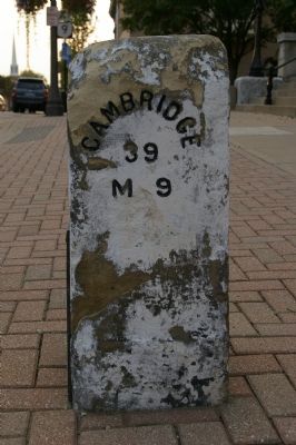
3. East face of milestone
Photographed by Christopher Busta-Peck
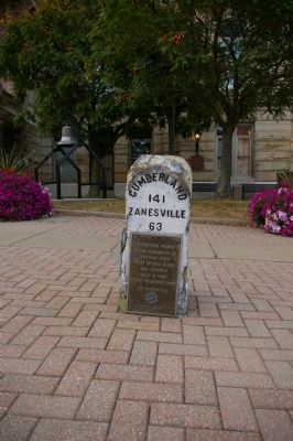
4. Milestone Marks where Extension of National Road... Marker
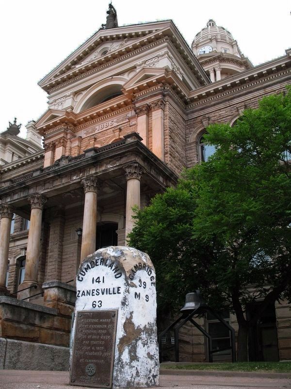
Photographed by Allen C. Browne, May 28, 2007
5. Milestone Marks where Extension of National Road... Marker
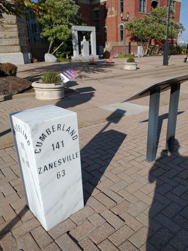
Photographed by Craig Doda, October 21, 2022
6. Milestone Marks where Extension of National Road... Marker
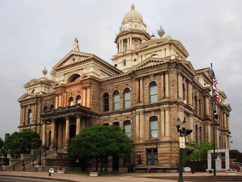
Photographed by Allen C. Browne, May 28, 2007
7. Belmont County Courthouse
Credits. This page was last revised on September 10, 2024. It was originally submitted on January 27, 2008, by Christopher Busta-Peck of Shaker Heights, Ohio. This page has been viewed 2,225 times since then and 28 times this year. Last updated on January 22, 2023, by Craig Doda of Napoleon, Ohio. Photos: 1, 2, 3, 4. submitted on January 27, 2008, by Christopher Busta-Peck of Shaker Heights, Ohio. 5. submitted on June 15, 2017, by Allen C. Browne of Silver Spring, Maryland. 6. submitted on October 28, 2022, by Craig Doda of Napoleon, Ohio. 7. submitted on June 15, 2017, by Allen C. Browne of Silver Spring, Maryland. • Devry Becker Jones was the editor who published this page.
