Plum Point in New Kent County, Virginia — The American South (Mid-Atlantic)
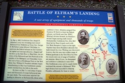
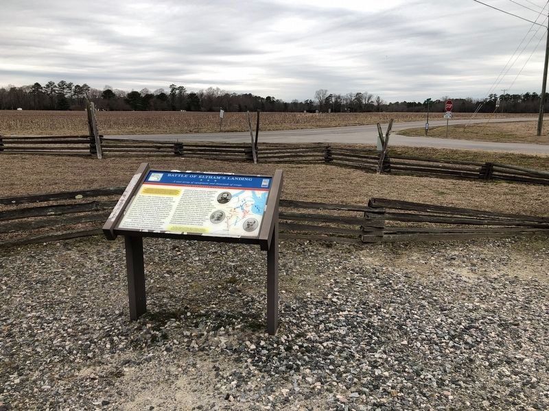
Battle of Eltham’s Landing
A vast array of equipment and thousands of troops
| — | 1862 Peninsula Campaign | — |
Photographed by Bernard Fisher, March 28, 2009
1. Battle of Eltham’s Landing CWT Marker
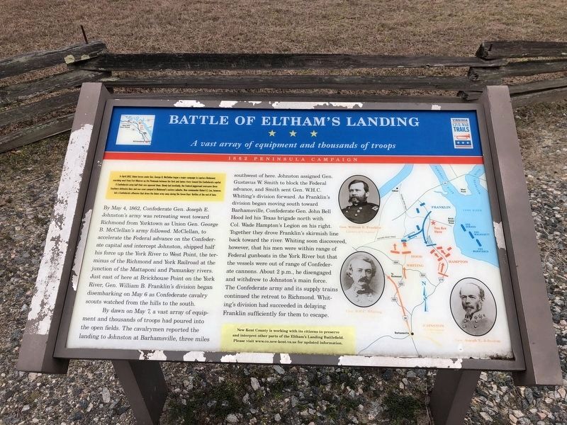
In April 1862, Union forces under Gen. George B. McClellan began a major campaign to capture Richmond, marching west from Fort Monroe up the Peninsula between the York and James rivers towards the Confederate capital. A Confederate army half their size opposed them. Slowly but inevitably, the Federal juggernaut overcame three Southern defensive lines and was soon camped in Richmond’s eastern suburbs. New commander Robert E. Lee, however, led a Confederate offensive that drove the Union army away during the Seven Days’ Battles at the end of June.
By May 4, 1862, Confederate Gen. Joseph E. Johnston’s army was retreating west toward Richmond from Yorktown as Union Gen. George B. McClellan’s army followed. McClellan, to accelerate the Federal advance on the Confederate capital and intercept Johnston, shipped half his force up the York River to West Point, the terminus of the Richmond and York Railroad at the junction of the Mattaponi and Pamunkey rivers. Just east of here at Brickhouse Point on the York River, Gen. William B. Franklin’s division began disembarking on May 6 as Confederate cavalry scouts watched from the
this page online
By dawn on May 7, a vast array of equipment and thousands of troops had poured into the open fields. The cavalrymen reported the landing to Johnston at Barhamsville, three miles southwest of here. Johnston assigned Gen. Gustavus W. Smith to block the Federal advance, and Smith sent Gen. W.H.C. Whiting’s division forward. As Franklin’s division began moving south toward Barhamsville, Confederate Gen. John Bell Hood led his Texas brigade north with Col. Wade Hampton’s Legion on his right. Together they drove Franklin’s skirmish line back toward the river. Whiting soon discovered, however, that his men were within range of Federal gunboats in the York River but that the vessels were out of range of Confederate cannons. About 2 p.m., he disengaged and withdrew to Johnston’s main force. The Confederate army and its supply trains continued the retreat to Richmond. Whiting’s division had succeeded in delaying Franklin sufficiently for them to escape.
New Kent County is working with its citizens to preserve and interpret other parts of the Eltham’s Landing Battlefield. Please visit www.co.new-kent.va.us for updated information.
Erected by Virginia
Photographed by Bernard Fisher, March 28, 2009
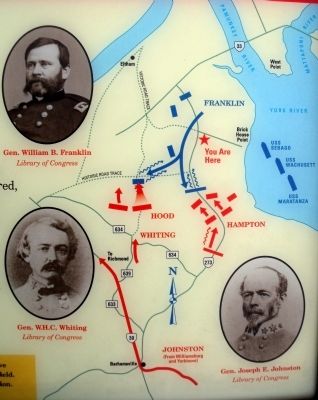
2. Map of the Eltham’s Landing Battlefield
Topics and series. This historical marker is listed in this topic list: War, US Civil. In addition, it is included in the Virginia Civil War Trails series list. A significant historical month for this entry is April 1862.
Location. 37° 30.759′ N, 76° 49.183′ W. Marker is in Plum Point, Virginia, in New Kent County. It is at the intersection of Farmers Drive and Plum Point Road, on the left when traveling south on Farmers Drive. Touch for map. Marker is at or near this postal address: 7401 Farmers Dr, Barhamsville VA 23011, United States of America. Touch for directions.

Regionally, this marker is on Virginia’s Peninsula and in Coastal Virginia. It is also in the American South, specifically in the Upper South, in the Tidewater, and on the Eastern Seaboard. Globally, it is in the North Atlantic Region, North America, the Western Hemisphere, the Western World, and the Anglosphere. Historically, it finds itself in what was once the territory of the Mississippian Culture, one of the original Thirteen Colonies, one of the Confederate States of America, and the Antebellum South.
Other nearby markers. At least 8
Another marker is no longer nearby. Peninsular Campaign (was approx. 0.8 miles away but has been replaced with another marker now near it).
More about this marker. On the right is a map detailing troop movements on the battlefield and photos of "Gen. William B. Franklin", "Gen W.H.C. Whiting" and "Gen. Joseph E. Johnston". Library of Congress
Photographed by Bernard Fisher, March 28, 2009
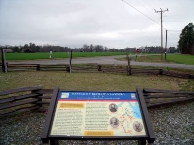
4. Farmers Drive & Plum Point Road
Photographed by Bernard Fisher, March 28, 2009
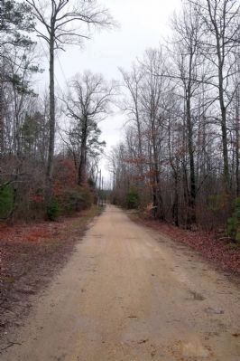
6. Hood's men approached from the south along this road trace (private road).
Photographed by Bernard Fisher, March 28, 2009
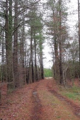
7. North end of the road trace (private road).
Photographed by Bernard Fisher
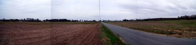
8. Brick House Point on the York River.
Credits. This page was last revised on October 30, 2022. It was originally submitted on March 31, 2009, by Bernard Fisher of Richmond, Virginia. This page has been viewed 6,032 times since then and 266 times this year. Last updated on October 28, 2022, by Carl Gordon Moore Jr. of North East, Maryland. Photos: 1, 2. submitted on March 31, 2009, by Bernard Fisher of Richmond, Virginia. 3. submitted on March 2, 2021, by Devry Becker Jones of Washington, District of Columbia. 4. submitted on March 31, 2009, by Bernard Fisher of Richmond, Virginia. 5. submitted on March 2, 2021, by Devry Becker Jones of Washington, District of Columbia. 6, 7. submitted on March 31, 2009, by Bernard Fisher of Richmond, Virginia. 8. submitted on April 6, 2009, by Bernard Fisher of Richmond, Virginia.
