Riesel in McLennan County, Texas — The American South (West South Central)
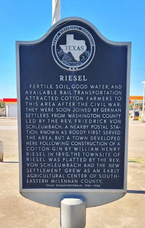
Riesel
Erected 1986 by Texas Historical Commission. (Marker Number 4265.)
Topics. This historical marker is listed in these topic lists: Agriculture • Immigration • Settlements & Settlers. A significant historical year for this entry is 1890.
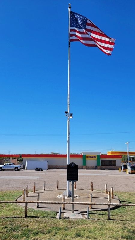
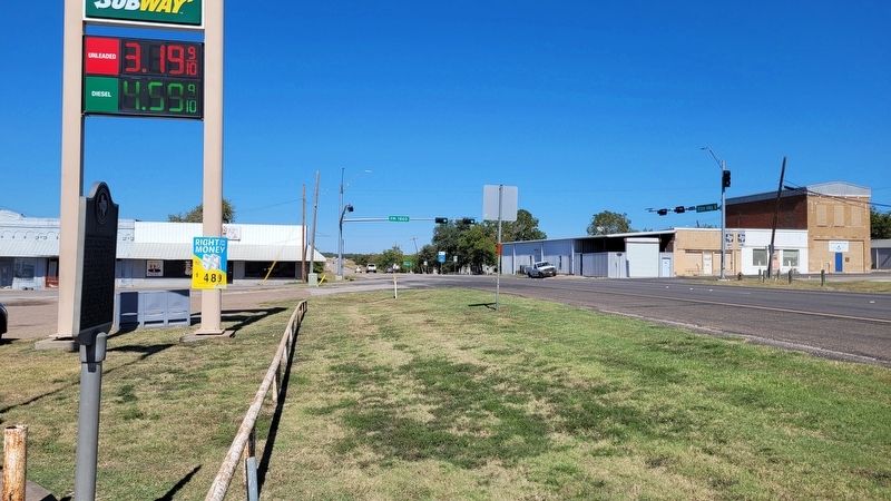
Location. 31° 28.467′ N, 96° 55.473′ W. Marker is in Riesel, Texas, in McLennan County. Marker is at the intersection of North Memorial Street (State Highway 6) and East Frederick Street, on the left when traveling north on North Memorial Street. The marker is located along the highway at a gas station. Touch for map. Marker is in this post office area: Riesel TX 76682, United States of America. Touch for directions.
Other nearby markers. At least 8 other markers are within 7 miles of this marker, measured as the crow flies. Friedens Evangelical & Reformed United Church of Christ (about 300 feet away, measured in a direct line); Friedens Cemetery (approx. 1.9 miles away); Judge Albert G. and Harriet Elizabeth Grimes Perry (approx. 5.3 miles away); Indian Battlefield (approx. 5.3 miles away); Torrey's Trading Post No. 2 (approx. 5˝ miles away); Santa Cruz Cemetery (approx. 6.4 miles away); Site of St. Paul School (approx. 6.6 miles away); St. Paul United Church of Christ (approx. 6.7 miles away). Touch for a list and map of all markers in Riesel.
Also see . . . Riesel, TX. Texas State Historical Association
Riesel is at the intersection of Farm Road 1860 and State Highway 6, on the Missouri Pacific Railroad fourteen miles southeast of Waco in southeastern McLennan County. The Houston and Texas Central Railway built a sectionhouse called Roddy on the site about 1880. A number of German families settled in the community, and in 1890 W. H. Riesel built a gin there. A post office called Prospect was opened in the community in 1890, and the following year the name of the post office and community was changed to Riesel, after the gin owner. According to some sources, Baron Bertman von Hollweg, an early settler in the community, built two large buildings to be used as orphanages, but both were destroyed by fire.(Submitted on October 29, 2022, by James Hulse of Medina, Texas.)
Credits. This page was last revised on October 29, 2022. It was originally submitted on October 29, 2022, by James Hulse of Medina, Texas. This page has been viewed 216 times since then and 42 times this year. Photos: 1, 2, 3. submitted on October 29, 2022, by James Hulse of Medina, Texas.


