Near Riesel in McLennan County, Texas — The American South (West South Central)
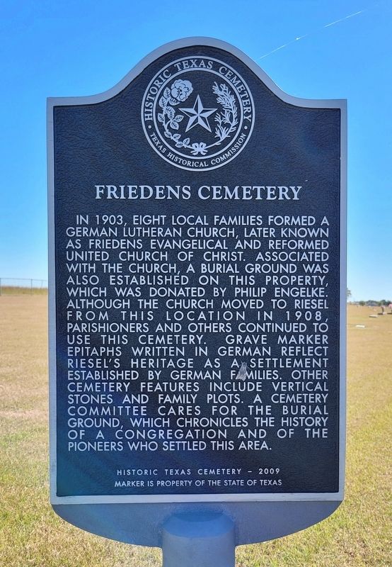
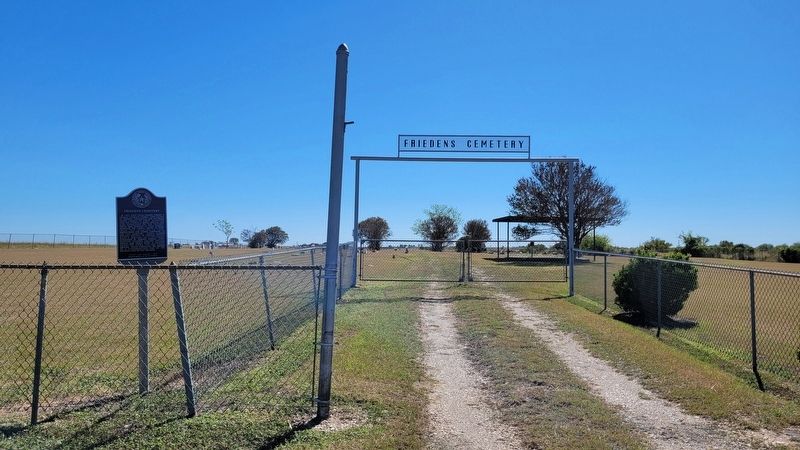
Friedens Cemetery
Erected 2009 by Texas Historical Commission. (Marker Number 16567.)
Topics. This historical marker is listed in these topic lists: Cemeteries & Burial Sites • Churches & Religion • Immigration. A significant historical year for this entry is 1903.
Location. 31° 29.161′ N, 96° 53.693′ W. Marker is near Riesel, Texas, in McLennan County. Marker is on East Lake Creek Road (Farm to Market Road 1860) ¼ mile west of Grassland Road, on the right when traveling east. The marker is located at the entrance to the cemetery by the highway. Touch for map. Marker is at or near this postal address: 1661 East Lake Creek Road, Riesel TX 76682, United States of America. Touch for directions.
Other nearby markers. At least 8 other markers are within 7 miles of this marker, measured as the crow flies. Friedens Evangelical & Reformed United Church of Christ (approx. 1.9 miles away); Riesel (approx. 1.9 miles away); Watson Feed Store (approx. 5.2 miles away); First Baptist Church of Mart (approx. 5.4 miles away); Site of Organization of the First Baptist Church of Mart (approx. 5.7 miles away); Judge Albert G. and Harriet Elizabeth Grimes Perry (approx. 6.1 miles away); Indian Battlefield (approx. 6.1 miles away); Torrey's Trading Post No. 2 (approx. 6.6 miles away). Touch for a list and map of all markers in Riesel.
Also see . . . Riesel, TX. Texas State Historical Association
Riesel is at the intersection of Farm Road 1860 and State Highway 6, on the Missouri Pacific Railroad fourteen miles southeast of Waco in southeastern McLennan County. The Houston and Texas Central Railway built a sectionhouse called Roddy on the site about 1880. A number of German families settled in the community, and in 1890 W. H. Riesel built a gin there. A post office called Prospect was opened in the community in 1890, and the following year the name of the post office and community was changed to Riesel, after the gin owner.(Submitted on October 29, 2022, by James Hulse of Medina, Texas.)
Credits. This page was last revised on October 29, 2022. It was originally submitted on October 29, 2022, by James Hulse of Medina, Texas. This page has been viewed 125 times since then and 28 times this year. Photos: 1, 2. submitted on October 29, 2022, by James Hulse of Medina, Texas.

