North Little Rock in Pulaski County, Arkansas — The American South (West South Central)
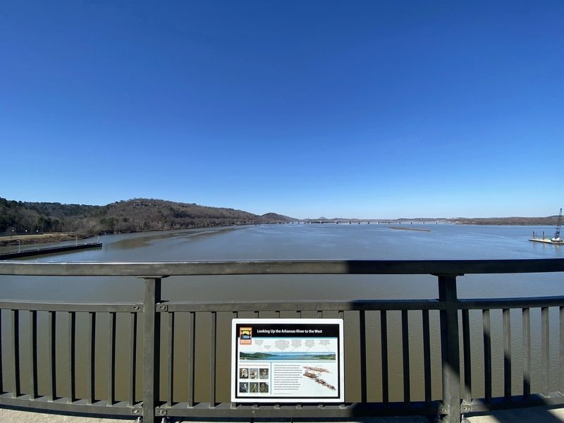
Looking Down the Arkansas River to the West
Big Dam Bridge Arkansas
Inscription.
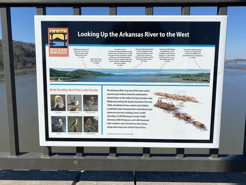
The Arkansas River was one of the main routes
used to move Indians from the southeastern
United States to the Indian Territory (modern-day
Oklahoma) during the forced removals of the late
1830s. Hundreds of men, women and children
would have been transported on steamboats past
where you are now standing. Some 16,000
Cherokee, 21,000 Muskogee (Creek), 9,000
Choctaw, 6,000 Chickasaw and 4,000 Seminole
tribe members were forced from their homes
along what many now call the Trail of Tears.
Topics. This historical marker is listed in these topic lists: Native Americans • Waterways & Vessels.
Location. 34° 47.553′ N, 92° 21.515′ W. Marker is in North Little Rock, Arkansas, in Pulaski County. Marker can be reached from Cook's Landing Road. Touch for map. Marker is at or near this postal address: 4000 Cook's Landing Rd, Little Rock AR 72207, United States of America. Touch for directions.
Other nearby markers. At least 8 other markers are within 3 miles of this marker, measured as the crow flies. Looking Down the Arkansas River to the East (a few steps from this marker); McClellan-Kerr Arkansas River Navigation System (about 600 feet away, measured in a direct line); The Farmers Home Cemetery (approx. ¼ mile away); The Story of the Big Dam Bridge Monoliths (approx. 0.3 miles away); The Arkansas River Trail Story (approx. 0.4 miles away); Four Bridges (approx. 0.4 miles away); The Heights • A History (approx. 1.9 miles away); Block Realty-Baker House (approx. 2½ miles away). Touch for a list and map of all markers in North Little Rock.
Credits. This page was last revised on November 1, 2022. It was originally submitted on October 29, 2022, by Darren Jefferson Clay of Duluth, Georgia. This page has been viewed 64 times since then and 9 times this year. Photos: 1, 2. submitted on October 29, 2022, by Darren Jefferson Clay of Duluth, Georgia. • Mark Hilton was the editor who published this page.

