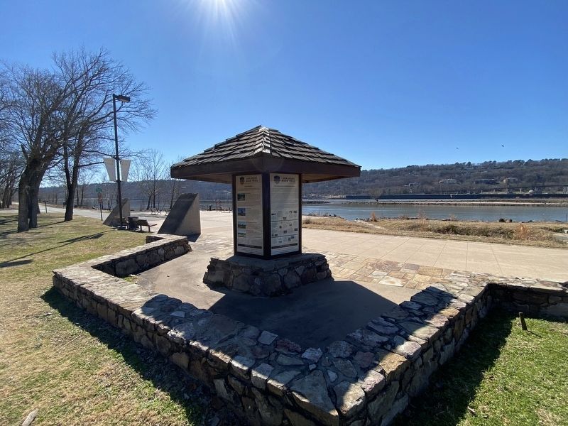
North Little Rock in Pulaski County, Arkansas — The American South (West South Central)
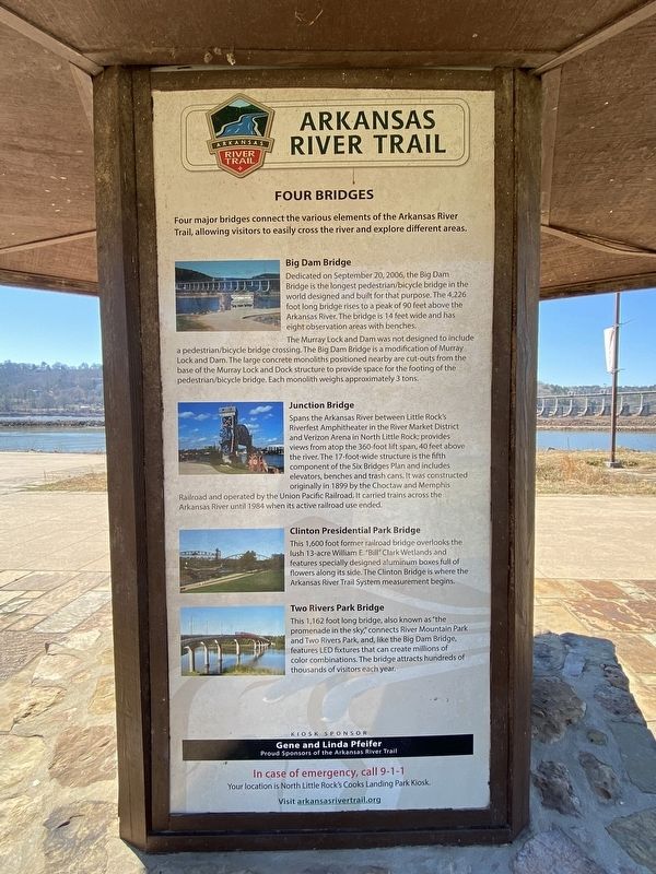
Four Bridges
— Arkansas River Trail —
Big Dam Bridge Dedicated on September 20, 2006, the Big Dam Bridge is the longest pedestrian/bicycle bridge in the world designed and built for that purpose. The 4,226 foot long bridge rises to a peak of 90 feet above the Arkansas River. The bridge is 14 feet wide and has eight observation areas with benches. The Murray Lock and Dam was not designed to include a pedestrian/bicycle bridge crossing. The Big Dam Bridge is a modification of Murray Lock and Dam. The large concrete monoliths positioned nearby are cut-outs from the base of the Murray Lock and Dock structure to provide space for the footing of the pedestrian/bicycle bridge. Each monolith weighs approximately 3 tons.
Junction Bridge Spans the Arkansas River between Little Rock's Riverfest Amphitheater in the River Market District and Verizon Arena in North Little Rock provides views from atop the 360-foot lift span, 40 feet above the river. The 17-foot-wide structure is the fifth component of the Six Bridges Plan and includes elevators, benches and trash cans. It was constructed originally in 1899 by the Choctaw and Memphis, Railroad and operated by the Union Pacific Railroad. It carried trains across the Arkansas River until 1984 when its active railroad use ended.
Clinton Presidential Park Bridge This 1,600 foot former railroad bridge overlooks the lush 13-acre William E "Bill" Clark Wetlands and features specially designed aluminum boxes full of flowers along its side. The Clinton Bridge is where the Arkansas River Trail System measurement begins.
Two Rivers Park Bridge This 1,162 foot long bridge, also known as "the promenade in the sky connects River Mountain Park and Two Rivers Park, and, like the Big Dam Bridge, features LED fixtures that can create millions of color combinations. The bridge attracts hundreds of thousands of visitors each year.
Topics. This historical marker is listed in these topic lists: Bridges & Viaducts • Waterways & Vessels.
Location. 34° 47.705′ N, 92° 21.186′ W. Marker is in North Little Rock, Arkansas, in Pulaski County. Marker is on Cook's Landing Road, on the left when traveling east. Touch for map. Marker is at or near this postal address: 4100 Cook's Landing Rd, North Little Rock AR 72118, United States of America. Touch for directions.
Other nearby markers. At least 8 other markers are within 3 miles of this marker, measured as the crow flies. The Arkansas River Trail Story (here, next to this marker); Looking Down the Arkansas River to the East (approx. 0.4 miles away); Looking Down the Arkansas River to the West (approx. 0.4 miles away); McClellan-Kerr Arkansas River Navigation System (approx. 0.4 miles away); The Story of the Big Dam Bridge Monoliths (approx. half a mile away); The Farmers Home Cemetery (approx. half a mile away); The Heights • A History (approx. 1.9 miles away); Block Realty-Baker House (approx. 2.4 miles away). Touch for a list and map of all markers in North Little Rock.
Credits. This page was last revised on November 1, 2022. It was originally submitted on October 29, 2022, by Darren Jefferson Clay of Duluth, Georgia. This page has been viewed 101 times since then and 16 times this year. Photos: 1, 2. submitted on October 29, 2022, by Darren Jefferson Clay of Duluth, Georgia. • Mark Hilton was the editor who published this page.

