Stillwater in Saratoga County, New York — The American Northeast (Mid-Atlantic)
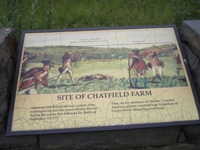
Site of Chatfield Farm
Photographed by Bill Coughlin, July 13, 2008
1. Site of Chatfield Farm Marker
American and British advance pickets often exchanged musket fire across Middle Ravine during the weeks that followed the Battle of September 19, 1777.
Then, on the afternoon of October 7, excited American pickets reported large formations of Crown Forces advancing southward.
Erected by Saratoga National Historic Park, National Park Service.
Topics. This historical marker is listed in these topic lists: Military • Notable Events • Notable Places • War, US Revolutionary. A significant historical date for this entry is September 19, 1848.
Location. Marker has been reported permanently removed. It was located near 42° 59.721′ N, 73° 38.57′ W. Marker was in Stillwater, New York, in Saratoga County. It could be reached from Park Tour Road, on the right when traveling north. Marker is located in Saratoga National Historic Park along the auto tour road. Touch for map. Marker was in this post office area: Stillwater NY 12170, United States of America.
We have been informed that this marker is no longer there and will not be replaced. This page is an archival view of what was.
Regionally, this marker was in Upstate New York,

this page online
Other nearby markers. At least 8 other markers are within walking distance of this location: Scour the Woods! (within shouting distance of this marker); Two Battles - Two Routes (within shouting distance of this marker); “We ought to March out and attack them” (within shouting distance of this marker); Saratoga 1777 (approx. ¼ mile away); a different marker also named Saratoga 1777 (approx. ¼ mile away); Rockefeller Memorial (approx. 0.3 miles away); a different marker also named Saratoga 1777 (approx. 0.3 miles away); Timothy Murphy (approx. 0.3 miles away). Touch for a list and map of all markers in Stillwater.
Other markers no longer nearby. The Path to Battle (was here, next to this marker but has been permanently removed); Asa Chatfield Farm (was within shouting
Photographed by Bill Coughlin, July 13, 2008
2. Marker in Saratoga National Historic Park
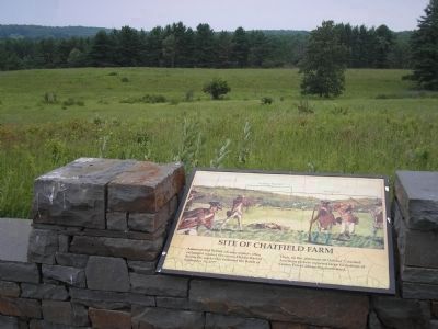
This photo looks in the direction of the Middle Ravine and the British fortifications. It was from here on October 7, 1777 that the Americans first saw the British advance on the Barber Farm which led to the second Battle of Saratoga.
More about this marker. The top of the marker features a picture of American troops exchanging fire with British pickets. The Barber Wheatfield, the Middle Ravine and the Road from Neilson Farm are indicated in the picture.
Also see . . .
1. Battle of Saratoga. Saratoga County Chamber of Commerce website entry (Submitted on August 16, 2022, by Larry Gertner of New York, New York.)
2. Saratoga National Historic Park. National Park Service. (Submitted on August 3, 2008, by Bill Coughlin of Woodland Park, New Jersey.)
Photographed by Bill Coughlin, July 13, 2008
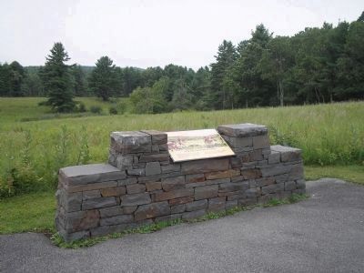
3. Chatfield Farm Marker
The Americans posted here at the Chatfield Farm often exchanged gunfire with British troops during the interval between the Battles of Saratoga.
Photographed by Bill Coughlin, July 13, 2008
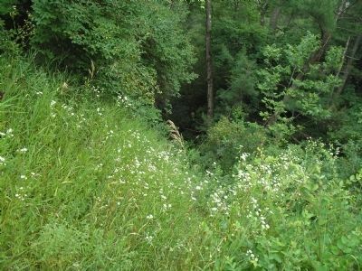
4. The Great Ravine
This natural obstacle, located north of the marker, separated the British and American pickets between the battles at Saratoga.
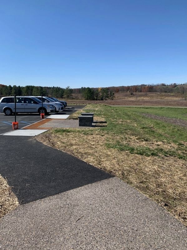
Photographed by Steve Stoessel, October 29, 2022
5. Site of Chatfield Farm Marker
Marker has been removed and is going to be replaced for 350th anniversary of the battle.
Credits. This page was last revised on November 2, 2022. It was originally submitted on August 3, 2008, by Bill Coughlin of Woodland Park, New Jersey. This page has been viewed 1,461 times since then and 34 times this year. Last updated on October 29, 2022, by Steve Stoessel of Niskayuna, New York. Photos: 1, 2, 3, 4. submitted on August 3, 2008, by Bill Coughlin of Woodland Park, New Jersey. 5. submitted on October 29, 2022, by Steve Stoessel of Niskayuna, New York. • Michael Herrick was the editor who published this page.
