Pineville in Rapides Parish, Louisiana — The American South (West South Central)
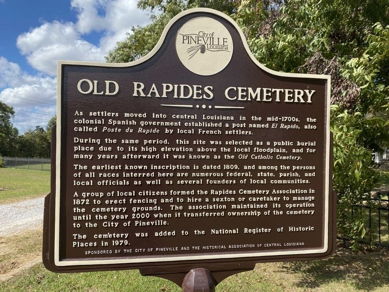
Old Rapides Cemetery
As settlers moved into central Louisiana in the mid-1700s, the colonial Spanish government established a post named El Rapido, also called Poste du Rapide by local French settlers.
During the same period, this site was selected as a public burial place due to its high elevation above the local floodplain, and for many years afterward it was known as the Old Catholic Cemetery.
The earliest known inscription is dated 1809, and among the persons of all races interred here are numerous federal, state, parish, and local officials as well as several founders of local communities.
A group of local citizens formed the Rapides Cemetery Association in 1872 to erect fencing and to hire a sexton or caretaker to manage the cemetery grounds. The association maintained its operation until the year 2000 when it transferred ownership of the cemetery to the City of Pineville.
The cemetery was added to the National Register of Historic Places in 1979.
Erected by City of Pineville and the Historical Associaton of Central Louisiana.
Topics. This historical marker is listed in this topic list: Cemeteries & Burial Sites.
Location. 31° 18.942′ N, 92° 26.522′ W. Marker is in Pineville , Louisiana, in Rapides Parish. Marker is on Hatti Street near Hardtner Street. Touch for map. Marker is in this post office area: Pineville LA 71360, United States of America. Touch for directions.
Other nearby markers. At least 8 other markers are within walking distance of this marker. Pineville #3 (about 400 feet away, measured in a direct line); Pineville #2 (about 400 feet away); Pineville #1 (about 500 feet away); Pineville River Front Trail (about 500 feet away); 200 Block of Main Street (about 600 feet away); Rapides Cemetery (about 600 feet away); The Jewish Cemetery (about 700 feet away); 300 Block Main Street (approx. 0.2 miles away). Touch for a list and map of all markers in Pineville.
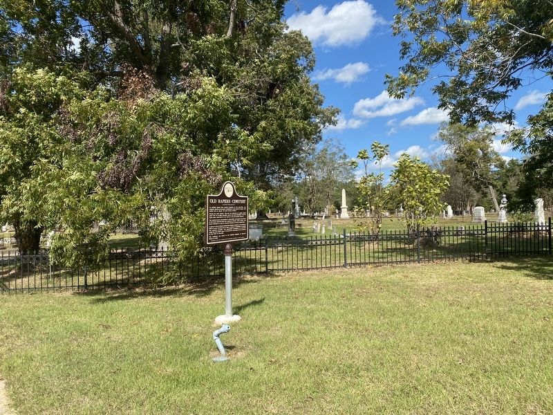
More about this marker. Located at the western terminus of Hatti Street, cemetery entrance
Credits. This page was last revised on October 30, 2022. It was originally submitted on October 30, 2022, by Cajun Scrambler of Assumption, Louisiana. This page has been viewed 115 times since then and 21 times this year. Photos: 1, 2. submitted on October 30, 2022, by Cajun Scrambler of Assumption, Louisiana.

