Washburn in Bayfield County, Wisconsin — The American Midwest (Great Lakes)
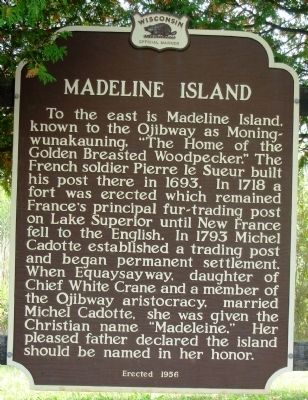
Madeline Island
Photographed by Paul F
1. Madeline Island Marker
Erected 1956 by State Historical Society of Wisconsin. (Marker Number 49.)
Topics and series. This historical marker is listed in these topic lists: Indigenous Peoples and Communities • Notable Places. In addition, it is included in the Wisconsin Historical Society series list. A significant historical year for this entry is 1693.
Location. 46° 43.293′ N, 90° 52.38′ W. Marker is in Washburn, Wisconsin, in Bayfield County. It is on State Highway 13 north of Burlager/Bodin Road, on the right when
this page online

Regionally, this marker is on the North Shore. It is also in the American Midwest, in the Corn Belt, and on Lake Superior’s South Shore Region. Globally, it is in North America, in the Great North Woods, on the Great Lakes, in the Western Hemisphere, in the Western World, and in the Anglosphere. Historically, it finds itself in what was once the territory of the Mississippian Culture and also the Northwest Territory.
Other nearby markers. At least 8 other markers are within 6 miles of this marker, measured as the crow flies: Washburn, The Monolith City (approx. 3.4 miles away); Bank of Washburn (approx. 3½ miles away); Washburn Lumbering Days / The Hines Lumber Company (approx. 4 miles away); Washburn Historic Waterfront (approx. 4 miles away); The Sprague Well (approx. 4.1 miles away); Michel Cadotte (approx. 4.8 miles away); Site of First Catholic Church (approx. 5½ miles away); La Pointe Indian Cemetery (approx. 5.6 miles away). Touch for a list and map
Photographed by Paul F, September 22, 2010
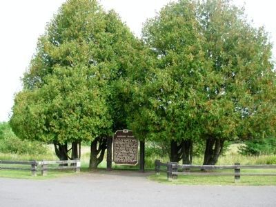
2. Madeline Island Marker
Photographed by Paul F, September 22, 2010
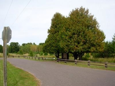
3. Madeline Island Marker
Turn off along Hwy 13.
Credits. This page was last revised on October 30, 2022. It was originally submitted on May 18, 2010, by Paul Fehrenbach of Richfield, Wisconsin. This page has been viewed 3,214 times since then and 90 times this year. Last updated on October 30, 2022, by Devon Polzar of Port Washington, Wisconsin. Photos: 1. submitted on May 18, 2010, by Paul Fehrenbach of Richfield, Wisconsin. 2, 3. submitted on September 28, 2010, by Paul Fehrenbach of Richfield, Wisconsin. • J. Makali Bruton was the editor who published this page.
