Near Seven Springs in Somerset County, Pennsylvania — The American Northeast (Mid-Atlantic)
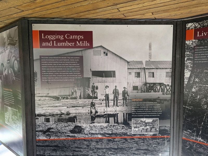
Logging Camps and Lumber Mills
Photographed by Mike Wintermantel
1. Logging Camps and Lumber Mills Marker
Vanished
Camps and crews worked around the clock without regard for the consequence of complete deforestation. Eventually, the forests disappeared. Mills and temporary railways were torn down or fell to ruins. Flooding and soil erosion intensified without trees. The once prosperous mountainsides of Laurel Hill were considered worthless and devoid of life.
Erected by Pennsylvania DCNR.
Topics. This historical marker is listed in these
this page online
Location. 40° 0.594′ N, 79° 13.462′ W. Marker is near Seven Springs, Pennsylvania, in Somerset County. It can be reached from Laurel Hill Park Road 0.4 miles west of Trent Road. Located at the Laurel Hill State Park office. Touch for map. Marker is in this post office area: Somerset PA 15501, United States of America. Touch for directions.

Regionally, this marker is in the Laurel Highlands. It is also in the American Northeast, in the Mid-Atlantic, in Appalachia, and specifically in Northern Appalachia. Globally, it is in North America, the Western Hemisphere, the Western World, and the Anglosphere. Historically, it finds itself in what was once the Haudenosaunee (Iroquois) Confederacy and also one of the original Thirteen Colonies.
Other nearby markers. At least 8 other markers are within 2 miles of this marker, measured as the crow flies: Camp Life (here, next to this marker); Living Legacy (here, next to this marker); Big Trees meet Narrow Gauge (here, next to this marker); a different marker also named Living Legacy (here,
Photographed by Mike Wintermantel
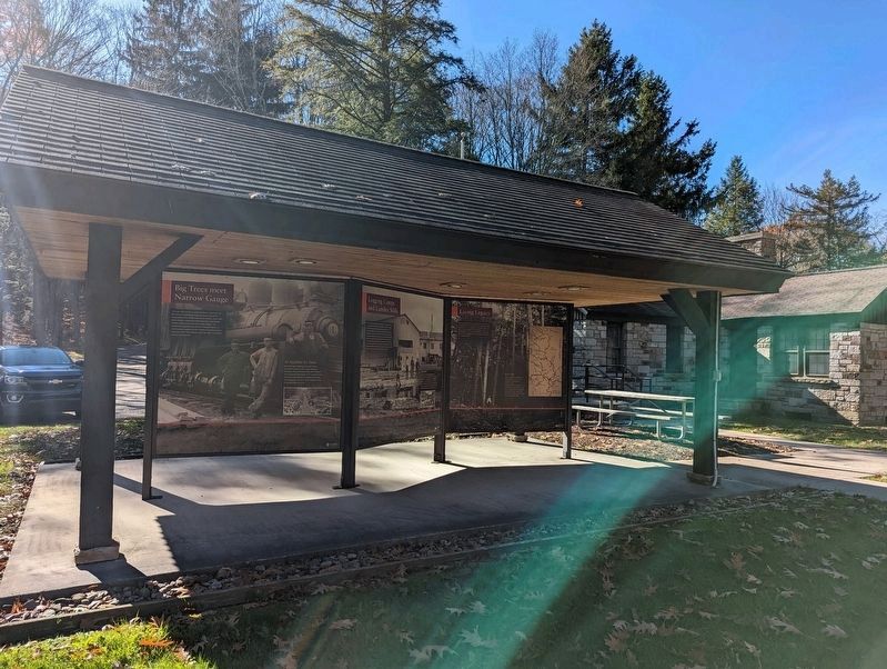
2. Logging Camps and Lumber Mills Marker
Marker is at the Center.
Also see . . . Laurel Hill State Park. (Submitted on November 2, 2022, by Mike Wintermantel of Pittsburgh, Pennsylvania.)
Credits. This page was last revised on November 2, 2022. It was originally submitted on November 2, 2022, by Mike Wintermantel of Pittsburgh, Pennsylvania. This page has been viewed 333 times since then and 39 times this year. Photos: 1, 2. submitted on November 2, 2022, by Mike Wintermantel of Pittsburgh, Pennsylvania.
