La Vernia in Wilson County, Texas — The American South (West South Central)
Rector Chapel Cemetery
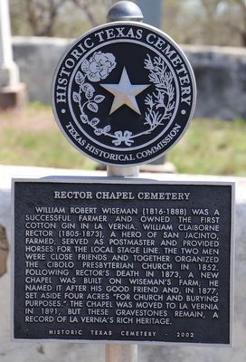
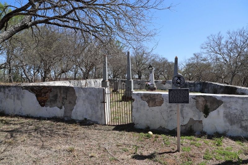
William Robert Wiseman (1816-1888) was a successful farmer and owned the first cotton gin in La Vernia. William Claiborne Rector (1805-1873), a hero of San Jacinto, farmed, served as postmaster and provided horses for the local stage line. The two men were close friends and together organized the Cibolo Presbyterian Church in 1852. Following Rector's death in 1873, a new chapel was built on Wiseman's farm; he named it after his good friend and, in 1877, set aside four acres "for church and burying purposes." The chapel was moved to La Vernia in 1891, but these gravestones remain, a record of La Vernia's rich heritage.
Erected 2002 by Texas Historical Commission. (Marker Number 12714.)
Topics. This historical marker is listed in these topic lists: Cemeteries & Burial Sites • Settlements & Settlers. A significant historical year for this entry is 1877.
Location. 29° 21.719′ N, 98° 5.301′ W. Marker is in La Vernia, Texas, in Wilson County. Marker is on Farm to Market Road 2772 east of FM775, on the right when traveling east. Touch for map. Marker is at or near this postal address: 719 FM2772, La Vernia TX 78121, United States of America. Touch for directions.
Other nearby markers. At least 8 other markers are within 2 miles of this marker, measured as the crow flies. Alamo Survivor (approx. one mile away); Cibolo Crossing on the Gonzales Road (approx. one mile away); Bridge at McAlister Crossing (approx. 1.3 miles away); Immanuel Lutheran Church (approx. 1.4 miles away); Concrete Cemetery (approx. 1.4 miles away); Suttles Pottery (approx. 1.7 miles away); Old Chihuahua Road (approx. 1.7 miles away); La Vernia (approx. 1.7 miles away). Touch for a list and map of all markers in La Vernia.
Additional commentary.
1. Directions from Texas Historical Commission to the Cemetery/Marker
From the intersection of Chihuahua St. & 775 N in downtown La Vernia go one mile to the intersection of FM 2772; go right on FM 2772 for 6/10 of a mile and turn right into a private drive and go about 400 ft. to the cemetery.
— Submitted November 3, 2022, by Dave W of Co, Colorado.
Credits. This page was last revised on November 12, 2022. It was originally submitted on November 3, 2022, by Dave W of Co, Colorado. This page has been viewed 101 times since then and 20 times this year. Photos: 1, 2. submitted on November 3, 2022, by Dave W of Co, Colorado. • Michael Herrick was the editor who published this page.

