Marietta in Washington County, Ohio — The American Midwest (Great Lakes)
Muskingum River Heritage
Photographed by Craig Doda, October 22, 2022
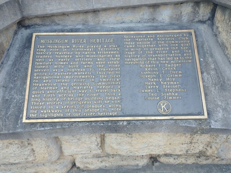
1. Muskingum River Heritage Marker
Sponsored and encouraged by the Marietta Kiwanis Club, these people of the community came together with one goal in mind: to preserve the heritage of the river and the history of transportation and navigation that has led us to the threshold of this new millennium.
Erected by Marietta Kiwanis Club.
Topics and series. This historical marker is listed in this topic list: Waterways & Vessels.
this page online
Location. 39° 24.858′ N, 81° 27.366′ W. Marker is in Marietta, Ohio, in Washington County. It is on West Putnam Street. Touch for map. Marker is at or near this postal address: 100 W Putnam St, Marietta OH 45750, United States of America. Touch for directions.

Regionally, this marker is in the American Midwest, in the Ohio River Valley, in Appalachia, and specifically in Northern Appalachia. Globally, it is in North America, the Western Hemisphere, the Western World, and the Anglosphere. Historically, it finds itself in what was once the Viceroyalty of New France, the Haudenosaunee (Iroquois) Confederacy, the territory of the Mississippian Culture, and the Northwest Territory.
Other nearby markers. At least 8 other markers are within walking distance of this marker: Putnam Bridge History (within shouting distance of this marker); Northwest Ordinance Sesquicentennial Columns (within shouting distance of this marker); Washington County Civil War Memorial (within shouting distance of this marker); Marietta Bank Building (within
Photographed by Craig Doda, October 22, 2022
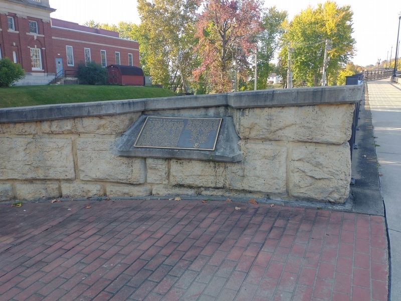
2. Muskingum River Heritage Marker
Credits. This page was last revised on November 10, 2022. It was originally submitted on November 3, 2022, by Craig Doda of Napoleon, Ohio. This page has been viewed 215 times since then and 13 times this year. Photos: 1, 2. submitted on November 3, 2022, by Craig Doda of Napoleon, Ohio. • Bill Pfingsten was the editor who published this page.
