Tuckerton in Ocean County, New Jersey — The American Northeast (Mid-Atlantic)
Little Egg Harbor Colonial History

Photographed By Devry Becker Jones (CC0), October 29, 2022
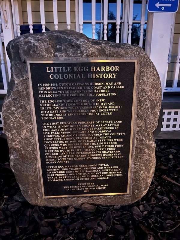
1. Little Egg Harbor Colonial History Marker
In 1609 - 1616, Dutch Captains Hudson, May and Hendricksen explored the coast and called this area "Eyre Haven" (Egg Harbor) reflecting the prolific bird population.
The English took control of "New Netherland" from the Dutch in 1664 and, in 1676, divided "Nova Caesarea" (New Jersey) into East and West Jersey Provinces with the boundary line beginning at Little Egg Harbor.
The first European purchase of Lenape land in what is now Ocean County was at Little Egg Harbor by Henry Jacobs Falkinburg in 1674. Falkinburg, Edward and Mordecai Andrews, among others, founded the county's first settlement, centered at today's Tuckerton, by 1698. Most early settlers were Quakers who established the Egg Harbor Friends Meeting here in 1702, built their first Meeting House in 1709 — the county's first church — and are interred in its graveyard. A portion of the nearby Andrews Homestead is said to be the oldest standing structure in Ocean County.
Little Egg Harbor grew from initial farming, fur trading, fishing and whaling to include gristmills, sawmills, shipbuilding, salt production, and significant commercial trade, particularly of lumber and shellfish, to major American cities and abroad.
Erected 2019 by The Society of Colonial Wars in the State of New Jersey.
Topics and series. This historical marker is listed in these topic lists: Churches & Religion • Colonial Era • Exploration • Settlements & Settlers • Waterways & Vessels. In addition, it is included in the Quakerism series list. A significant historical year for this entry is 1609.
Location. 39° 36.06′ N, 74° 20.556′ W. Marker is in Tuckerton, New Jersey, in Ocean County. Marker is on Bartlett Lane, 0.1 miles south of West Main Street (U.S. 9), on the left when traveling south. Touch for map. Marker is at or near this postal address: 120 W Main St, Tuckerton NJ 08087, United States of America. Touch for directions.
Other nearby markers. At least 8 other markers are within 7 miles of this marker, measured as the crow flies. Sneakbox (here, next to this marker); Barnegat Bay Heritage (here, next to this marker); The Hunting Shanty & Community Center (a few steps from this marker); Native American World War I Memorial (about 500 feet away, measured in a direct line); Pulaski Legion Memorial (approx. 2.3 miles away); The Defense of Little Egg Harbor (approx. 2.4 miles away); Civilian Conservation Corps (approx. 5.3 miles away); Early History of Beach Haven (approx. 6.1 miles away). Touch for a list and map of all markers in Tuckerton.
Credits. This page was last revised on November 3, 2022. It was originally submitted on November 3, 2022, by Devry Becker Jones of Washington, District of Columbia. This page has been viewed 199 times since then and 72 times this year. Photo 1. submitted on November 3, 2022, by Devry Becker Jones of Washington, District of Columbia.
Editor’s want-list for this marker. Clear, daylight photos of the marker and its context. • Can you help?