Near Yale in Payne County, Oklahoma — The American South (West South Central)
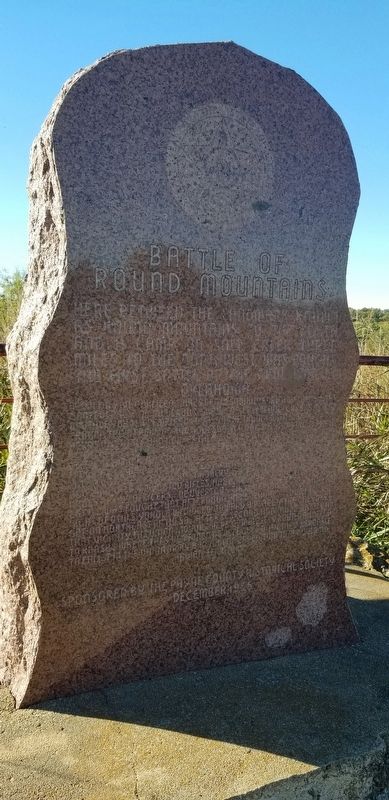
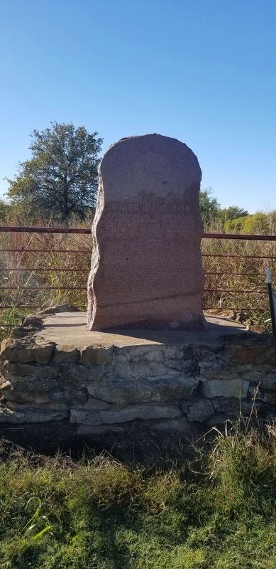
Battle of Round Mountains
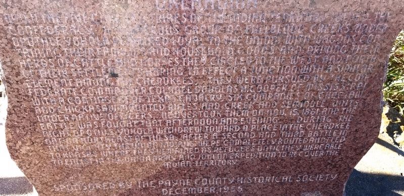
When the five civilized tribes of the Indian Territory joined the Confederacy, a numerous group of fullblood Creeks under Oputhleyohola remained loyal to the Union. With wagons containing their families and household goods and driving their herds of cattle and horses they circled to the west and north of their settlements hoping to effect a junction with a similar element among the Cherokees. They were pursued by the Confederate commander Colonel Douglas H. Cooper of Mississippi with a contingent of Texas cavalry, six companies of Choctaw and Chickasaw mounted rifles, and Creek and Seminole units under native officers. He overtook them on Nov. 19, 1861 and the battle was fought that afternoon and evening. During the night, Oputhleyohola withdrew toward a place in the Cherokee Nation northeast of Tulsa. After a second and third battle in that vicinity, the Union Indians were completely routed and fled to Kansas where they remained as refugees until they were able to enlist in the Union Army and join an expedition to recover the Indian Territory.
December, 1955
Erected 1955 by Payne County Historical Society.
Topics. This historical marker is listed in these topic lists: Native Americans • War, US Civil. A significant historical date for this entry is November 19, 1861.
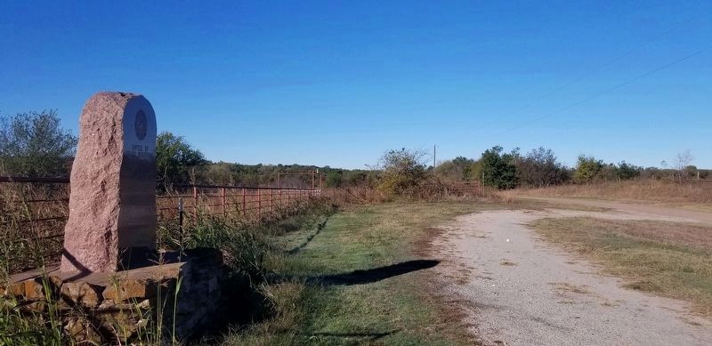
Location. 36° 7.803′ N, 96° 46.527′ W. Marker is near Yale, Oklahoma, in Payne County. Marker is on East McElroy Road, 0.3 miles State Highway 18, on the left when traveling west. The marker is located on the south side of the road at a small auto pullout. Touch for map. Marker is at or near this postal address: 19607 East McElroy Road, Yale OK 74085, United States of America. Touch for directions.
Other nearby markers. At least 8 other markers are within 7 miles of this marker, measured as the crow flies. Mable Dale Potts (approx. 4.4 miles away); L.F. Jones (approx. 4.4 miles away); Nell Caroline Woodward Hancock (approx. 4.4 miles away); Rice/Kerby Cabin (approx. 4.8 miles away); Harold V. "Tex" Brown (approx. 5 miles away); The Camp of Washington Irving (approx. 5 miles away); World Famous Athlete Jim Thorpe (approx. 5.1 miles away); U.S. Marshals Monument (approx. 6.1 miles away). Touch for a list and map of all markers in Yale.
Also see . . .
1. The Battle of Round Mountain. The Encyclopedia of Oklahoma History and Culture
In 1949 researcher John H. Melton, along with historians Berlin B. Chapman and Angie Debo, and the Payne County Historical Society presented evidence locating the Round Mountain battle four miles west of Yale in Payne County. The proponents of the Yale site designated the engagement as the "Battle of Twin Mounds," in reference to a pair of landmark elevations where they believed the skirmish took place.(Submitted on November 5, 2022, by James Hulse of Medina, Texas.)
2. Oputhleyohola (ca. 1780–1863). The Encyclopedia of Oklahoma History and Culture
Prominent Creek chief Opothleyahola was most likely born circa 1780 to Davy Cornell, a mixed-blood Creek, and a woman of the Tuckabatchee town in present Montgomery County, Alabama. He became noteworthy beginning around 1820 as speaker for the council of the Upper Creeks, primarily full bloods who held to their traditional culture, as opposed to the Lower Creeks, who adopted the lifestyles of the non-Indians around them. Adding to this divisiveness, a number of the Lower Creeks looked with favor upon the exchange of their eastern homeland for land west of the Mississippi River. One of their leaders, William McIntosh, was executed by Upper Creeks for signing a 1825 treaty that would have given up all Creek land in Georgia. Opothleyahola led the Upper Creeks in their resistance to removal to the West, but eventually he came to see it as inevitable. By 1832, after a large number of the Lower Creeks had removed voluntarily, he was the Creek Nation's acknowledged leader. He was instrumental in negotiating the treaty of March 1832, which led to the exodus of the remainder of the tribe to Indian Territory in present Oklahoma.(Submitted on November 5, 2022, by James Hulse of Medina, Texas.)
Additional keywords. Oputhleyohola
Credits. This page was last revised on November 5, 2022. It was originally submitted on November 5, 2022, by James Hulse of Medina, Texas. This page has been viewed 219 times since then and 57 times this year. Photos: 1, 2, 3, 4. submitted on November 5, 2022, by James Hulse of Medina, Texas.


