Dunn in Sampson County, North Carolina — The American South (South Atlantic)
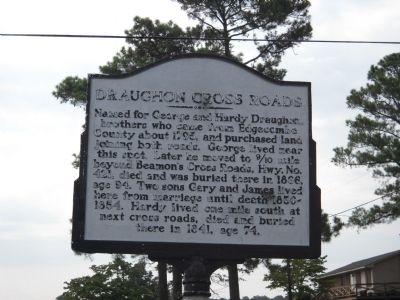
Draughon Cross Roads
Topics. This historical marker is listed in this topic list: Roads & Vehicles. A significant historical year for this entry is 1795.
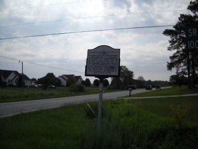
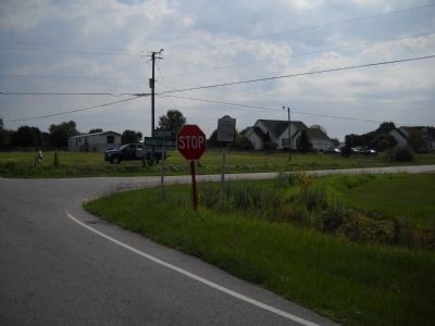
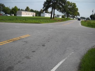
Location. 35° 17.482′ N, 78° 32.44′ W. Marker is in Dunn, North Carolina, in Sampson County. Marker is at the intersection of Harnett-Dunn Highway (State Highway 55) and Green Path Road, on the right when traveling east on Harnett-Dunn Highway. Marker is located at the southeast corner of the intersection. Touch for map. Marker is in this post office area: Dunn NC 28334, United States of America. Touch for directions.
Other nearby markers. At least 8 other markers are within 8 miles of this marker, measured as the crow flies. Battle of Averasboro (approx. 3.1 miles away); G. B. Cashwell (approx. 4.1 miles away); Link Wray (approx. 4.2 miles away); William C. Lee (approx. 4.3 miles away); a different marker also named Battle of Averasboro (approx. 4.9 miles away); Sherman's March (approx. 5.1 miles away); "Lebanon" (approx. 7˝ miles away); a different marker also named Battle of Averasboro (approx. 7.6 miles away). Touch for a list and map of all markers in Dunn.
Credits. This page was last revised on November 10, 2022. It was originally submitted on August 21, 2010, by Bill Coughlin of Woodland Park, New Jersey. This page has been viewed 1,074 times since then and 55 times this year. Last updated on November 6, 2022, by Michael Buckner of Durham, North Carolina. Photos: 1, 2, 3, 4. submitted on August 21, 2010, by Bill Coughlin of Woodland Park, New Jersey. • Bernard Fisher was the editor who published this page.


