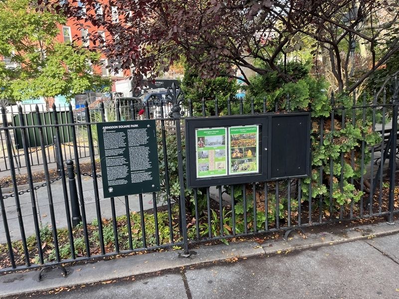
West Village in Manhattan in New York County, New York — The American Northeast (Mid-Atlantic)
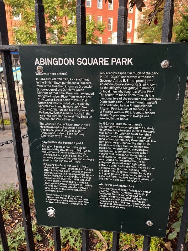
Abingdon Square Park
What was here before?
In 1744 Sir Peter, a vice admiral in the British Navy, purchased a 300 acre farm in the area then known as Greenwich (a corruption of the Dutch for Green District). At that time, Greenwich extended along the Hudson River from what is now Christopher Street north to West 21st Street and was bounded on the east by Minetta Brook and Bowery Lane (now Broadway). Warren and his wife, Susannah De Lance, lived in a major house in the area now bordered by West 4th, Bleecker, Charles, and Perry Streets.
How did this site become a park?
Abingdon Square is one of the oldest squares in the city, dating to 1831, when the Common Council decreed that it be enclosed as a public park. The City acquired the parcel that year and enclosed it with a cast iron fence in 1836.
Following the Small Parks Act of 1887, Mayor Abram Hewitt promoted a citywide effort to improve public access to green spaces, leading to a redesign of the square by leading landscape architects Samuel Parsons and Calvert Vaux that included a lawn panel surrounded by a winding path system. Parsons thought at the time "shrubs and flowers would not thrive in [the] shade" of the well established perimeter trees.
By World War I, due to the park's intense use, many of the horticultural improvements were eliminated in favor of low-maintenance macadam, later replaced by asphalt in much of the park. In 1921 20,000 spectators witnessed Governor Alfred E. Smith present the Abingdon Square Memorial (also known as the Abingdon Doughboy) in memory of local men who fought in World War I. The sculpture faced north towards the headquarters of the sponsor, the Jefferson Democratic Club. The memorial flagstaff was dedicated by the Private Michael J. Lynch Post No. 831 of the Veterans of Foreign Wars in 1933. A small, fenced children's play area with swings was inserted in the 1930s.
In 1993 the Parks Department's Monuments Crew conserved the historic doughboy sculpture and in 2004 the park was rebuilt. Exterior sidewalk benches were removed, permitting curbside use for a vibrant community Greenmarket. The new park design, inspired by the 1890s Parsons and Vaux plan, reclaimed the park's corner entryways, encouraging access, and greened the space with a central oval lawn panel, flower beds, and lavish border plantings. The statue was rotated and relocated to the south entryway. Decorated iron light poles, entrance urns, and trash receptacles evoke Victorian New York, and winding paths are clad
Who is this park named for?
Peter Warren and Susan Delancey's eldest daughter, Charlotte, married Willoughby Bertie, the Fourth Earl of Abingdon. Charlotte's dowry included the land that came to be known as Abingdon Square. the name is one of the few municipal public places of British association that survived the Revolutionary War.
Erected by NYC Parks.
Topics. This historical marker is listed in these topic lists: Agriculture • Arts, Letters, Music • Horticulture & Forestry • Parks & Recreational Areas • Settlements & Settlers • War, World I. A significant historical year for this entry is 1744.
Location. 40° 44.226′ N, 74° 0.333′ W. Marker is in Manhattan, New York, in New York County. It is in West Village. Marker is at the intersection of 8th Avenue and Hudson Street, on the left when traveling north on 8th Avenue. Touch for map. Marker is at or near this postal address: 1 Abingdon Square, New York NY 10014, United States of America. Touch for directions.
Other nearby markers. At least 8 other markers are within walking distance of this marker. Abingdon Square World War I Memorial (a few steps from this marker); Abingdon Square Doughboy (within shouting distance of this marker); Private Michael J. Lynch Flagstaff (within shouting distance of this marker); The Family (about 400 feet away, measured in a direct line); The Beatrice Inn (about 400 feet away); “Mason’s Row” (about 500 feet away); 82 Jane Street (about 600 feet away); Jane Jacobs (about 700 feet away). Touch for a list and map of all markers in Manhattan.
Credits. This page was last revised on January 31, 2023. It was originally submitted on November 6, 2022, by Devry Becker Jones of Washington, District of Columbia. This page has been viewed 78 times since then and 16 times this year. Photos: 1, 2. submitted on November 6, 2022, by Devry Becker Jones of Washington, District of Columbia.

