Radford, Virginia — The American South (Mid-Atlantic)
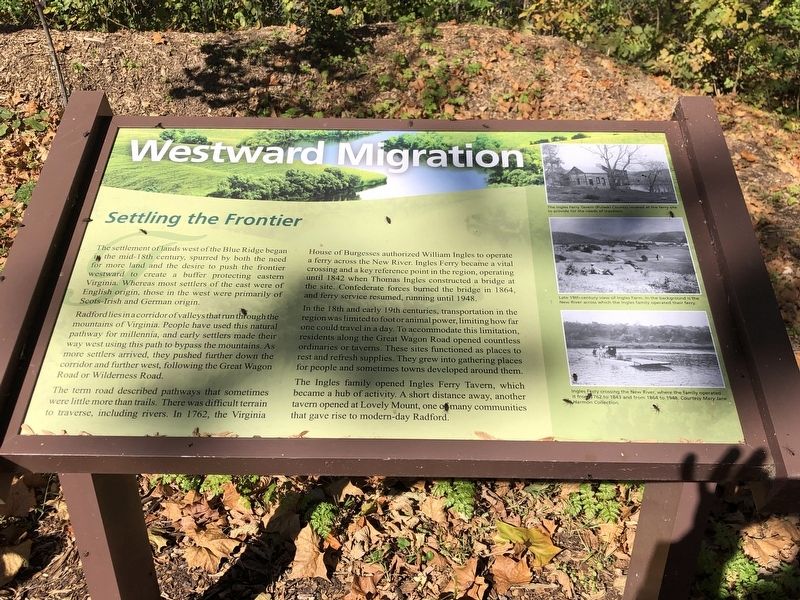
Westward Migration
Settling the Frontier
Radford lies in a corridor of valleys that run through the mountains of Virginia. People have used this natural pathway for millennia, and early settlers made their way west using this path to bypass the mountains. As more settlers arrived, they pushed further down the corridor and further west, following the Great Wagon Road or Wilderness Road.
The term road described pathways that sometimes were little more than trails. There was difficult terrain to traverse, including rivers. In 1762, the Virginia House of Burgesses authorized William Ingles to operate a ferry across the New River. Ingles Ferry became a vital crossing and a key reference point in the region, operating until 1842 when Thomas Ingles constructed a bridge at the site. Confederate forces burned the bridge in 1864, and ferry service resumed, running until 1948.
In the 18th and early 19th centuries, transportation in the region was limited to foot or animal power, limiting how far one could travel in a day. To accommodate this limitation, residents along the Great Wagon Road opened countless ordinaries or taverns. These sites functioned as places to rest and refresh supplies. They grew into gathering places for people and sometimes towns developed around them.
The Ingles family opened Ingles Ferry Tavern, which became a hub of activity. A short distance away, another tavern opened at Lovely Mount, one of many communities that gave rise to modern-day Radford.
Captions (top to bottom)
• The Ingles Ferry Tavern (Pulaski County) located at the ferry site to provide for the needs of travelers.
• Late 19th century view of Ingles Farm. In the background is the New River avross which the Ingles family operated their ferry.
• Ingles Ferry crossing the New River, where the family operated it from 1762 to 1843 and from 1864 to 1948. Courtesy Mary Jane Harmon Collection
Topics. This historical marker is listed in these topic lists: Industry & Commerce • Settlements & Settlers • Waterways & Vessels. A significant historical year for this entry is 1762.
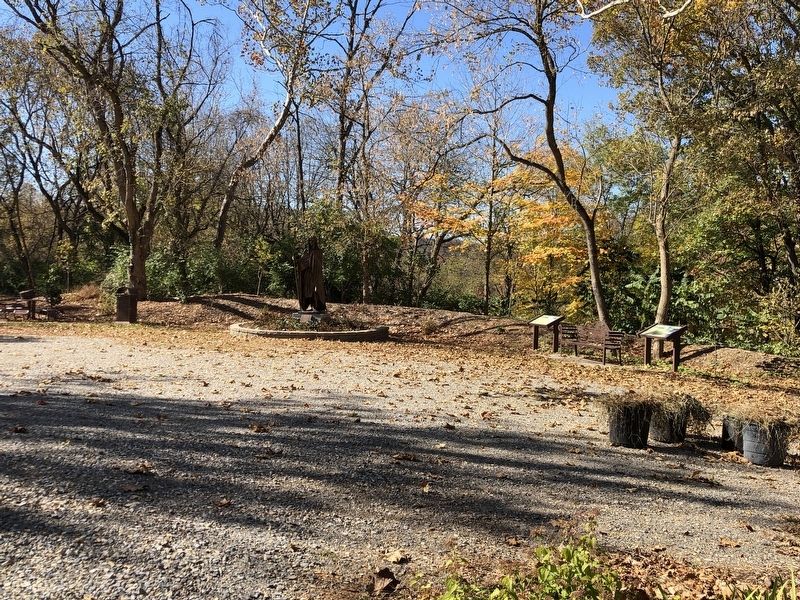
Location. 37° 7.978′ N, 80° 34.864′ W. Marker is in Radford, Virginia. Marker is on Unruh Drive east of Robertson Street, on the left when traveling east. Marker is in Mary Draper Ingles Cultural Heritage Park. Touch for map. Marker is at or near this postal address: 601 Unruh Dr, Radford VA 24141, United States of America. Touch for directions.
Other nearby markers. At
least 8 other markers are within walking distance of this marker. Mary Draper Ingles (here, next to this marker); The Railroad Arrives (within shouting distance of this marker); The City by the River (within shouting distance of this marker); Home Guards (within shouting distance of this marker); New River Bridge (about 500 feet away, measured in a direct line); Montgomery County / Pulaski County (approx. 0.6 miles away); The New River (approx. 0.6 miles away); Starnes (approx. 0.7 miles away). Touch for a list and map of all markers in Radford.
Credits. This page was last revised on November 6, 2022. It was originally submitted on November 6, 2022, by Duane and Tracy Marsteller of Murfreesboro, Tennessee. This page has been viewed 132 times since then and 19 times this year. Photos: 1, 2. submitted on November 6, 2022, by Duane and Tracy Marsteller of Murfreesboro, Tennessee.

