Near Robbinsville in Graham County, North Carolina — The American South (South Atlantic)
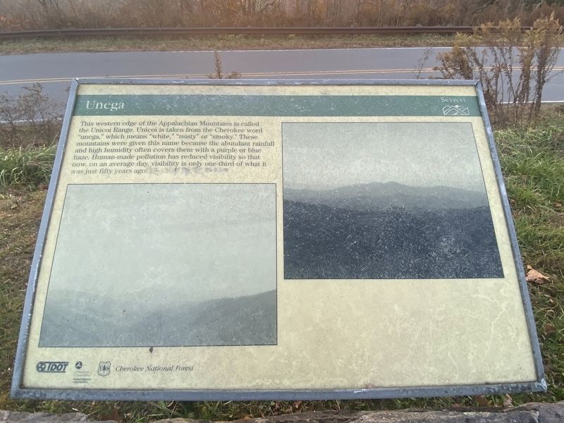
Unega
Topics. This historical marker is listed in this topic list: Native Americans.
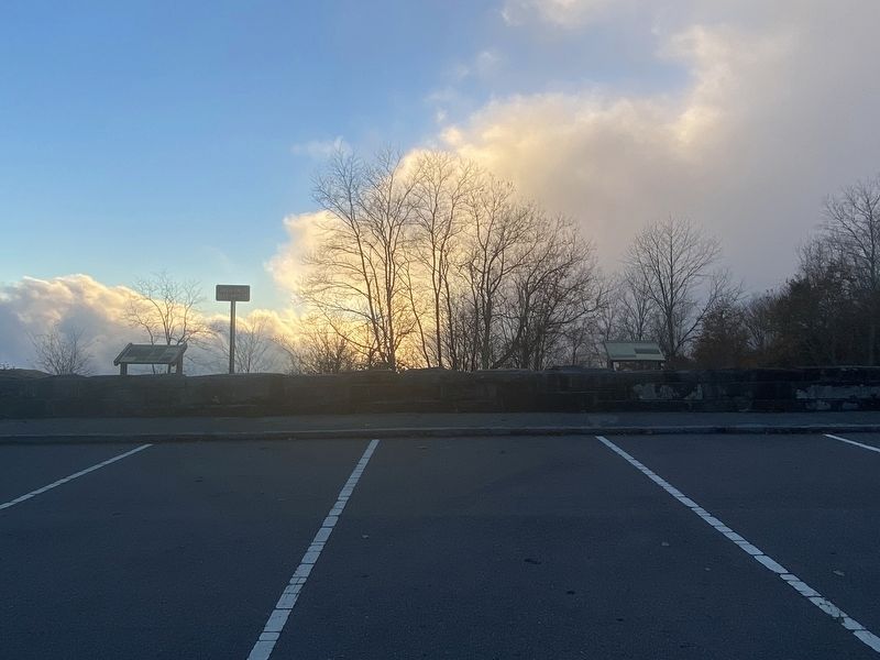
Location. 35° 20.711′ N, 84° 2.134′ W. Marker is near Robbinsville, North Carolina, in Graham County. Marker is on Cherohala Skyway (State Highway 143) one mile west of Old Santeetlah Raod, on the right when traveling west. Touch for map. Marker is in this post office area: Robbinsville NC 28771, United States of America. Touch for directions.
Other nearby markers. At least 7 other markers are within 14 miles of this marker, measured as the crow flies. Nothing But Good (approx. 4.8 miles away in Tennessee); Forced From Their Mountain Home (approx. 5.1 miles away); Joyce Kilmer Memorial Forest (approx. 5.8 miles away); Shaping the Flow of the Cheoah River (approx. 9.2 miles away); a different marker also named Shaping the Flow of the Cheoah River (approx. 9˝ miles away); a different marker also named Shaping the Flow of the Cheoah River (approx. 10 miles away); Tenasee Cherokee Village (approx. 13.6 miles away in Tennessee).
Credits. This page was last revised on November 9, 2022. It was originally submitted on November 7, 2022, by Darren Jefferson Clay of Duluth, Georgia. This page has been viewed 69 times since then and 17 times this year. Photos: 1, 2. submitted on November 8, 2022, by Darren Jefferson Clay of Duluth, Georgia. • Bernard Fisher was the editor who published this page.

