Mott Haven in the Bronx in Bronx County, New York — The American Northeast (Mid-Atlantic)
Roundhouse
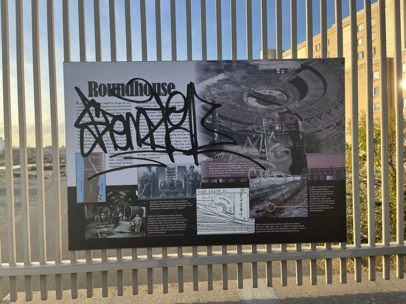
It was [unreadable] that helped to change the surrounding [unreadable] farmland to a city. The first train rumbling through fields and pastures of the Bronx [unreadable]. People [unreadable] and faster to travel here and villages soon sprung up.
In 1851 a railroad branch was built to [unreadable] you are now standing further west, the [unreadable] Line of the New York Central Railroad was [unreadable] in 1871 and the [unreadable] of the Hudson River. Since [unreadable] the Bronx became part of the City of New York in [unreadable] and all other areas added in 1895. In [unreadable] the Borough of the Bronx was officially annexed in the City of New York. Train lines and [unreadable] or "els, closed the Harlem River, providing even more families with a cheap and easy way to reach the Bronx Neighborhoods quickly grew.
This section of the Bronx became a center for railroad activities, and a [unreadable] in yard was built [unreadable] New Haven [unreadable] Railroad. [unreadable]. [Unreadable] also needed the constant maintenance and repairs of railroad lines. A roundhouse service site for trains [unreadable] stood in the neighborhood from 1873 to 1890. The roundhouse gets its name from its shape — it was usually built to look like a bicycle wheel or half a wheel and flat on the ground. It was divided into sections that spread out from the [unreadable] the spokes of the wheel. At the center is [unreadable] that rotates so that engines can be [unreadable] to the service bay, [unreadable]. Here they could be washed or [unreadable]. The local Roundhouse was taken down by 1891. [unreadable] no longer needed so that a large train storage shed could be constructed.
[Captions:}
The New York, New Haven, and Hartford Railroad transported people and goods from Manhattan and the Bronx to Connecticut, with connections throughout New Enland.
Inside the roundhouse people cleaned, repaired, and oiled the engines. Lots of windows in the walls and roof let in natural sunlight to make work easier. There was even a long, narrow opening beneath each set of tracks—a pit—that allowed workers to get underneath the engine to work on hard to reach places.
(From Historic American Engineering Record, IL8-81)
This is relatively standard roundouse construction of the late 19th century. It shows what the roundhouse here next to Willis Avenue might have looked like, although this one is much larger. The turntable at the center would have rotated to direct engines into the different
This is what the semi-circular roundhouse looked like on an 1887 atlas. Here it is called an Engine House. Location of roundhouse foundation wall (shown here in green) identified through archaeological testing.
As part of the Willis Avenue Bridge reconstruction, archaeological testing was completed, identifying the exterior wall of the roundhouse under later layers of soil and pavement. A portion of the 19th century stone foundation was uncovered, measured, and photographed.
Topics. This historical marker is listed in these topic lists: Anthropology & Archaeology • Railroads & Streetcars. A significant historical year for this entry is 1851.
Location. 40° 48.303′ N, 73° 55.572′ W. Marker has been reported unreadable. Marker is in Bronx, New York, in Bronx County. It is in Mott Haven. Marker is on Willis Avenue Bridge Path south of East 135th Street, on the left when traveling north. Touch for map. Marker is at or near this postal address: 85 Willis Ave, Bronx NY 10454, United States of America. Touch for directions.
Other nearby markers. At least 8 other markers are within walking distance of this location. Swing Bridges (about 800 feet away, measured in a direct line); PFC Carlos J. Lozada Playground (approx. 0.2 miles away); Carlos James Lozada (approx. 0.2 miles away); Willis Avenue Bridge (approx. ¼ mile away); Village of Nieuw Haerlem (approx. 0.3 miles away); Saw Mill Playground (approx. half a mile away); Brook Restoration (approx. half a mile away); Alice Kornegay Triangle (approx. half a mile away). Touch for a list and map of all markers in Bronx.
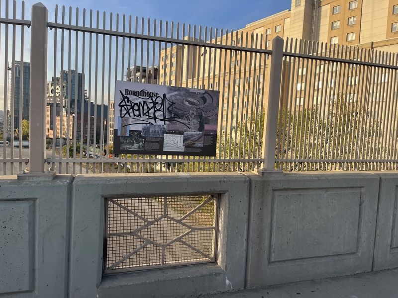
More about this marker. Unfortunately, the marker has been defaced and is significantly unreadable.
Credits. This page was last revised on January 31, 2023. It was originally submitted on November 7, 2022, by Devry Becker Jones of Washington, District of Columbia. This page has been viewed 123 times since then and 25 times this year. Photos: 1, 2. submitted on November 7, 2022, by Devry Becker Jones of Washington, District of Columbia.

