Murphy in Cherokee County, North Carolina — The American South (South Atlantic)
Trail of Tears
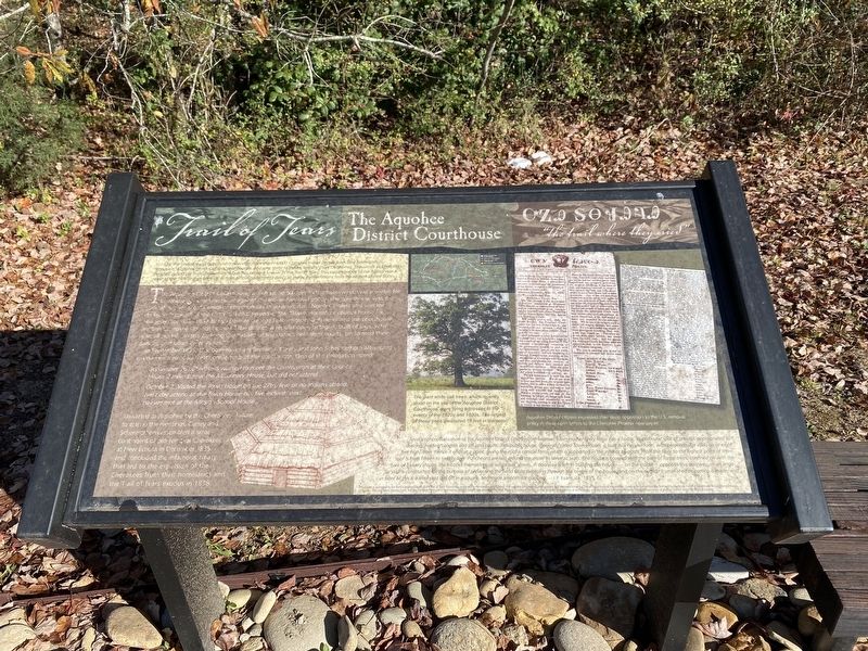
The Aquohee District Courthouse
The Aquohee District Courthouse, which stood 500 feet to the northwest, was a center for Cherokee political resistance against the Indian Removal policy. The courthouse was the judicial hub for most Cherokee communities in southwestern North Carolina and was the de facto "capital" of the district. It also served as the "Town House" or council house for Hiwassee Town. In 1837 British traveler George Featherstonhaugh described the courthouse as "the Cherokee Council-house of the district, a regular open octagon, built of logs, with a small portal. In this building the Indians of the district held their courts , performed their dances, and other ceremonies."
In september 1835, U.S. commissioners Benjamin Currey and John Schermerhorn attempted to convene a removal treaty conference at the courthouse. One of the delegation noted:
September 26..Cherokees wanted to meet the Commission at their Council House 2 miles below the Missionary House, but did not attend...
October 2..Visited the Town House or the 27th, few or no Indians attend. next day attend at the Town House but five Indians, next day we met at the Mission School House...
Thwarted at Aquohee by the Cherokee failure to attend the meetings, Currey and Schermerhorn assembled a small contingent of pro-removal Cherokees at New Echota in December 1835 and concluded the infamous treaty that led to the explosion of the Cherokees from their homelands and the Trail of Tears exodus in 1838.
captions)
The giant white oak trees, which recently stood on the site of the Aquohee District Courthouse were living witnesses to the events of the 1820s and 1830s. The largest of these trees measured 18 feet in diameter.
Artist's conceptualization of the Aquohee District Courthouse/Hiawasee Town House. Every town has a house, or particular spot of ground, appropriated to dancing, holding councils and (of late) courts. This public house, (generally called Town House), is built in a circular form, with perpendicular walls six to eight feet high, from thence it ends at a point, giving th proof a conical form, which is supported in the interior by posts. From the floor to the highest point of the roof is from fifteen to twenty feet. Puncheons are laid around the inside to serve as seats. The house is covered with the bark of forest trees, confined on with the bark of hickory shrubs, the hickories themselves , or white oak shreds. A doorway is left in building the house; — on the inside — opposite the doorway, — an angular wall is constructed for th purpose of preventing the wind from sweeping through the centre of the house, and on the outside a small shed or portico is made, and in front of this is a level yard laid off in a square, and made smooth for dancing. —J.P. Evans, ca. 1835.
Topics. This historical marker is listed in this topic list: Native Americans.
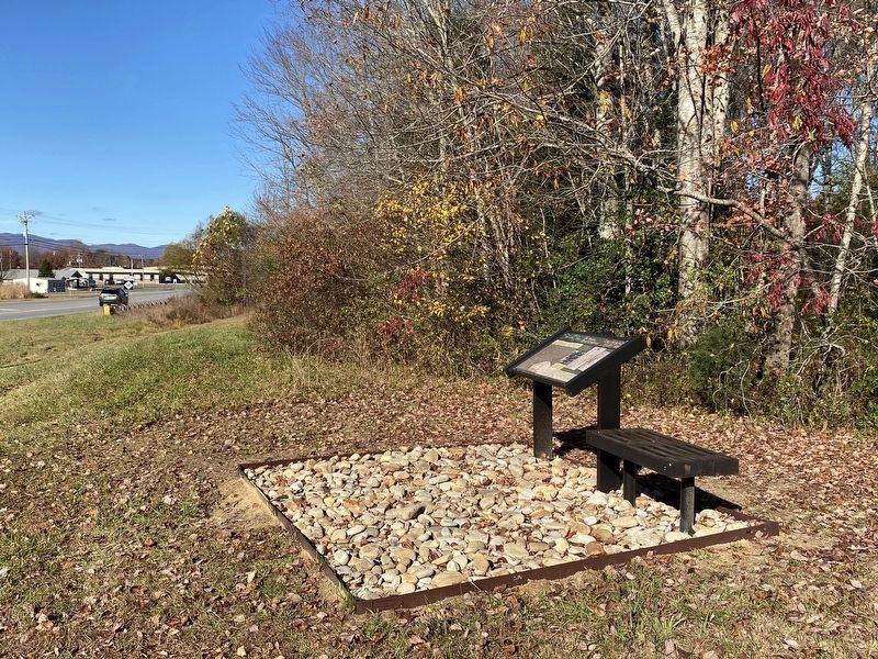
Location. 35° 3.835′ N, 83° 57.975′ W. Marker is in Murphy, North Carolina, in Cherokee County. Marker is on State Highway 141, 0.1 miles north of U.S. 64, on the right when traveling north. Touch for map. Marker is in this post office area: Murphy NC 28906, United States of America. Touch for directions.
Other nearby markers. At least 8 other markers are within 4 miles of this marker, measured as the crow flies. A different marker also named Trail of Tears (approx. 1.1 miles away); John C. Campbell Folk School (approx. 1.7 miles away); a different marker also named John C. Campbell Folk School (approx. 1.7 miles away); Harshaw Chapel and Cemetery (approx. 4.1 miles away); Prison Cell Door (approx. 4.1 miles away); Cherokee Heritage Trails (approx. 4.1 miles away); Nuya Saligugi (approx. 4.1 miles away); Unicoi Turnpike Trail (approx. 4.1 miles away). Touch for a list and map of all markers in Murphy.
Credits. This page was last revised on November 9, 2022. It was originally submitted on November 7, 2022, by Darren Jefferson Clay of Duluth, Georgia. This page has been viewed 75 times since then and 17 times this year. Photos: 1, 2. submitted on November 8, 2022, by Darren Jefferson Clay of Duluth, Georgia. • Bernard Fisher was the editor who published this page.

