Near Hiwassee in Pulaski County, Virginia — The American South (Mid-Atlantic)
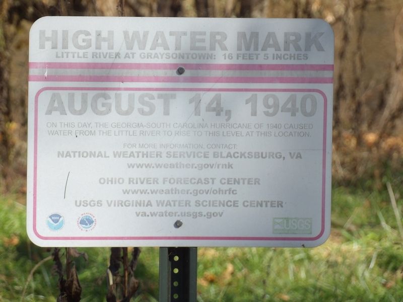
High Water Mark
Little River at Graysontown: 16 feet 5 inches
On this day, the Georgia-South Carolina hurricane of 1940 caused water from the Little River to rise to this level at this location.
National Weather Service Blacksburg, VA
www.weather.gov/rnk
Ohio River Forecast Center
www.weather.gov/ohrfc
USGS Virginia Water Science Center
va.water.usgs.gov
Erected by National Weather Service Blacksburg, VA • Ohio River Forecast Center • U.S. Geological Survey Virginia Water Science Center.
Topics. This historical marker is listed in these topic lists: Disasters • Waterways & Vessels. A significant historical date for this entry is August 14, 1940.
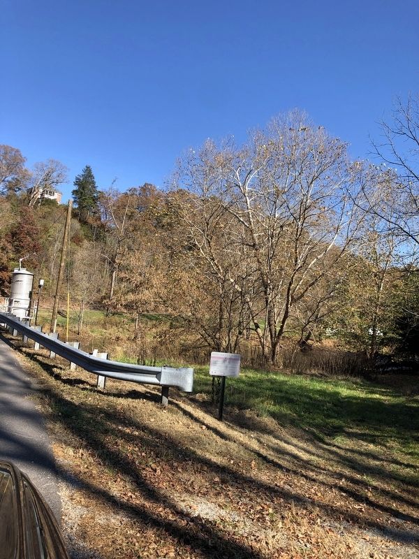
Location. 37° 2.241′ N, 80° 33.425′ W. Marker is near Hiwassee, Virginia, in Pulaski County. Marker is on Lead Mine Road (Virginia Route 693) west of Graysontown Road, on the right when traveling east. Touch for map. Marker is at or near this postal address: 5543 Lead Mine Rd, Hiwassee VA 24347, United States of America. Touch for directions.
Other nearby markers. At least 8 other markers are within 7 miles of this marker, measured as the crow flies. Snowville Christian Church (approx. ¼ mile away); Colonel William Christian (approx. 3.8 miles away); Christian-Cloyd Chimney (approx. 3.8 miles away); Lovely Mount Tavern (approx. 5.6 miles away); Ingles Ferry Road (approx. 5.8 miles away); Mary Draper Ingles Monument (approx. 6 miles away); Connelly's Run (approx. 6.6 miles away); Home Guards (approx. 6.7 miles away).
Also see . . . 80th anniversary of the 1940 Floods in southwest Virginia. WFXR-TV summarizes the deadly deluge of water and its impacts. (Poated Aug. 14, 2020) (Submitted on November 7, 2022, by Duane and Tracy Marsteller of Murfreesboro, Tennessee.)
Credits. This page was last revised on November 7, 2022. It was originally submitted on November 7, 2022, by Duane and Tracy Marsteller of Murfreesboro, Tennessee. This page has been viewed 93 times since then and 17 times this year. Photos: 1, 2. submitted on November 7, 2022, by Duane and Tracy Marsteller of Murfreesboro, Tennessee.

