Mechums West in Ivy in Albemarle County, Virginia — The American South (Mid-Atlantic)
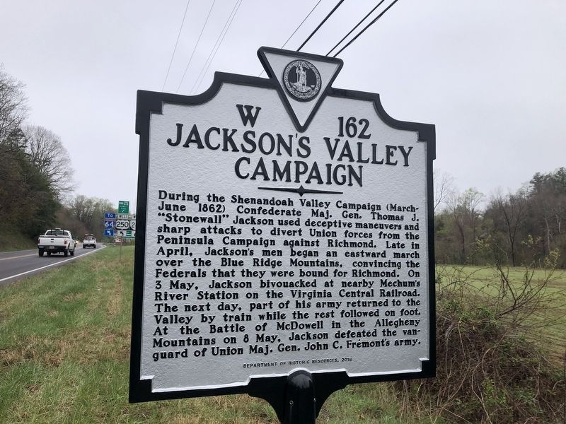
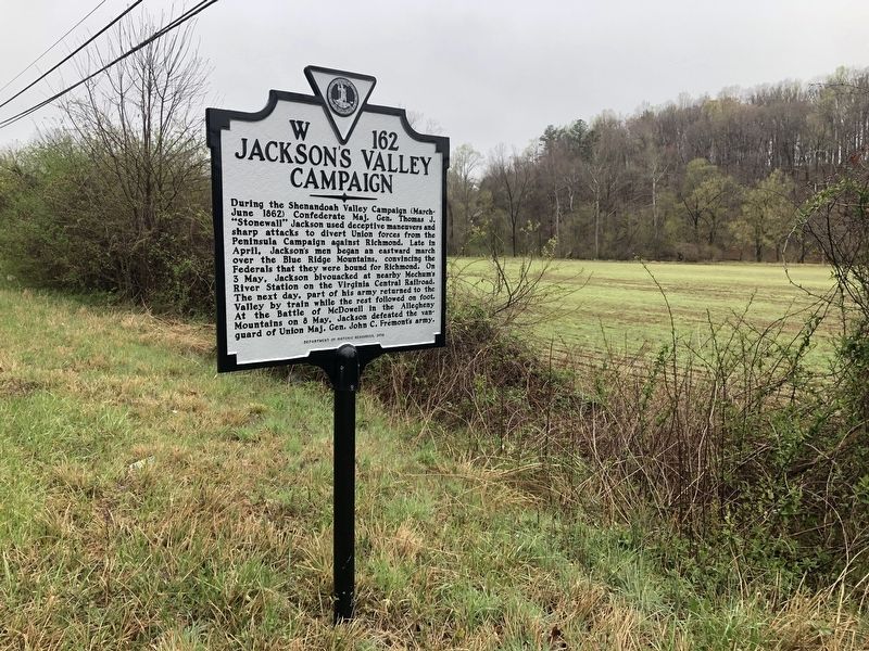
Jackson's Valley Campaign
Erected 2016 by Department of Historic Resources. (Marker Number W-162.)
Topics and series. This historical marker is listed in these topic lists: Railroads & Streetcars • War, US Civil. In addition, it is included in the Virginia Department of Historic Resources (DHR) series list. A significant historical month for this entry is June 1862.
Location. 38° 3.716′ N, 78° 38.718′ W. Marker is in Ivy, Virginia, in Albemarle County. It is in Mechums West. Marker is on Ivy Road (U.S. 250) 0.1 miles west of Gillums Ridge Road (Virginia Route 787), on the right when traveling west. Touch for map. Marker is at or near this postal address: 5715 Ivy Road, Charlottesville VA 22903, United States of America. Touch for directions.
Other nearby markers. At least 8 other markers are within 7 miles of this marker, measured as the crow flies. Birthplace of Meriwether Lewis (approx. 2.6 miles away); Crozet (approx. 3.1 miles away); The Rothwell Family ... / Elisha Wm. Robertson ... (approx. 3½ miles away); Miller School (approx. 4.7 miles away); “The Albemarle 26” (approx. 6 miles away); Staunton and James River Turnpike (approx. 6.2 miles away); Convention Army The Barracks (approx. 6.9 miles away); Albemarle Barracks Burial Site (approx. 6.9 miles away).
Related marker. Click here for another marker that is related to this marker. Old Marker At This Location also titled "Jackson's Valley Campaign".
Credits. This page was last revised on August 7, 2023. It was originally submitted on April 11, 2021, by Devry Becker Jones of Washington, District of Columbia. This page has been viewed 398 times since then and 53 times this year. Last updated on November 7, 2022, by Carl Gordon Moore Jr. of North East, Maryland. Photos: 1, 2. submitted on April 11, 2021, by Devry Becker Jones of Washington, District of Columbia. • Bernard Fisher was the editor who published this page.

